- Ellicott Rock Wilderness
Infobox_protected_area | name = Charles C. Deam Wilderness
iucn_category = Ib

caption =
locator_x = 214
locator_y = 110
location = Georgia, USANorth Carolina , USASouth Carolina , USA
nearest_city =Satolah, Georgia
lat_degrees = 34
lat_minutes = 59
lat_seconds = 57
lat_direction = N
long_degrees = 83
long_minutes = 05
long_seconds = 54
long_direction = W
area = convert|8274|acre|km2|0|sing=off
established =1975
visitation_num =
visitation_year =
governing_body =U.S. Forest Service 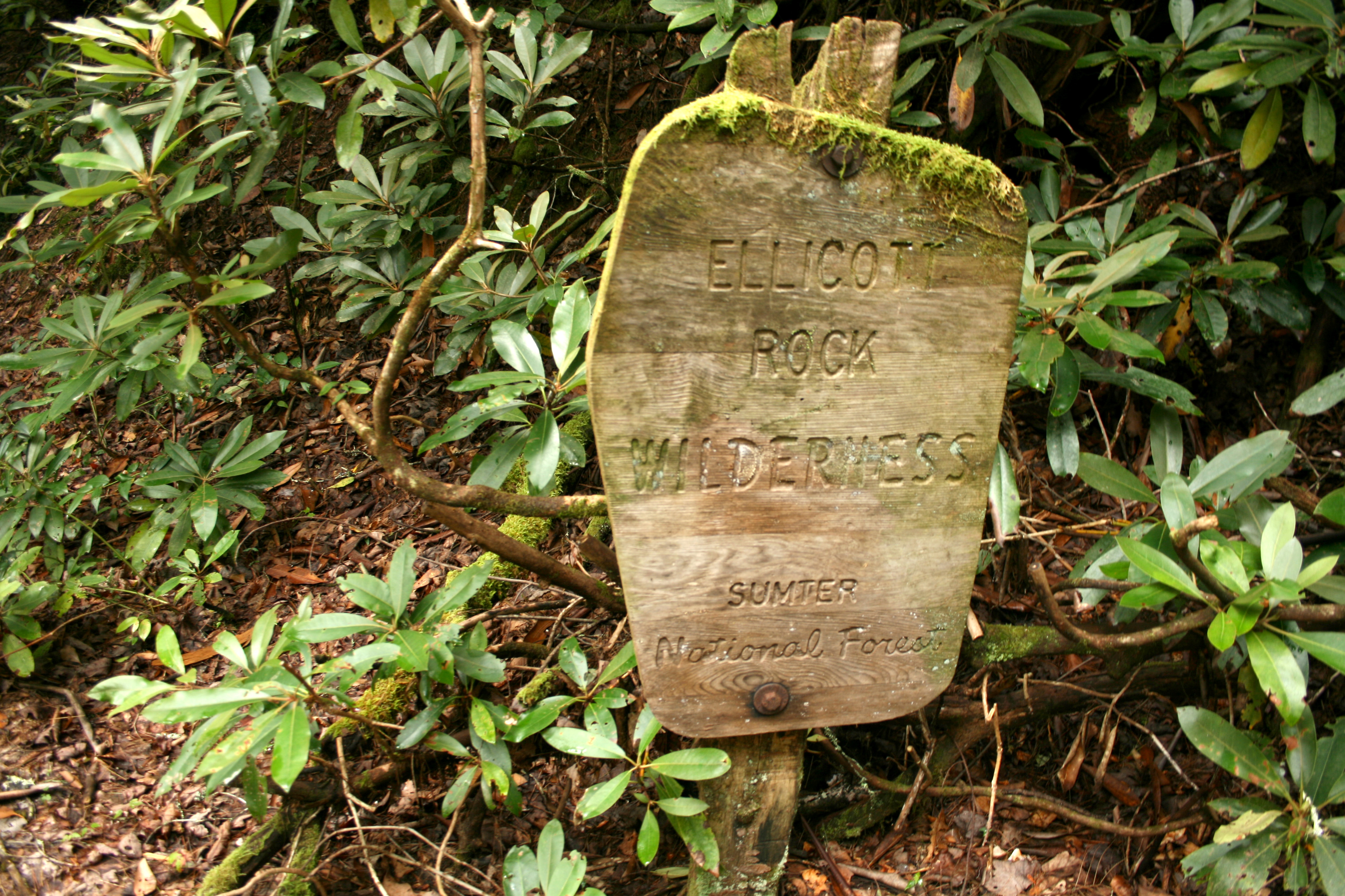
thumb|right|292px|Ellicott Rock Wilderness sign, in South Carolina just north of Burrells FordThe Ellicott Rock Wilderness was designated in 1975 and currently consists of 8,274
acres (33 km²) surrounding the point at which Georgia,North Carolina , andSouth Carolina come together. It is the only wilderness that straddles three states. Approximately 2,021 acres (8 km²) are located in Georgia in theChattahoochee National Forest , approximately 3,394 acres (14 km²) are located in North Carolina in theNantahala National Forest , and approximately 2,859 acres (12 km²) are located in South Carolina in the Andrew Pickens Ranger District of theSumter National Forest . Bisecting the Wilderness is theChattooga River , aWild and Scenic River . The Wilderness is managed by theUnited States Forest Service and is part of theNational Wilderness Preservation System .The Wilderness is named for “"
Ellicott's Rock ",” a rock on the east bank of the Chattooga River on which surveyorAndrew Ellicott chiseled a mark in 1811 to determine the border between Georgia and North Carolina.The highest
elevation in the Georgia portion of the Ellicott Rock Wilderness is the 3,672 foot summit ofGlade Mountain , which is also the high point of the Wilderness. The Chattooga River drops from 2,381 feet to 2,100 feet as it flows through the Wilderness. Fork Mountain, elevation 3,294, is the highest point in the South Carolina portion of the Elliott Rock Wilderness and is the second-highest summit in South Carolina.It was named to the National Register of Historical Places in 1973 - Object - #73001722.
ee also
*
List of U.S. Wilderness Areas
*Wilderness Act External links
* [http://www.fs.fed.us/r8/fms/forest/recreation/ellicottrock.shtml US Forest Service entry for Ellicott Rock Wilderness]
* [http://www.wilderness.net/index.cfm?fuse=NWPS&sec=wildView&wname=Ellicott%20Rock Wilderness.net entry for the Ellicott Rock Wilderness]
* [http://gorp.away.com/gorp/resource/us_wilderness_area/sc_ellic.htm GORP entry for the Ellicott Rock Wilderness]
* [http://www.sherpaguides.com/georgia/mountains/blue_ridge/eastern/map_ellicott_rock_wilderness.html Map of Ellicott Rock Wilderness]
* [http://hikingthecarolinas.com/Ellicot%20Rock.php Entry in Hiking the Carolinas for the Ellicott Rock Wilderness]
* [http://www.sherpaguides.com/georgia/mountains/blue_ridge/eastern/ellicott_rock_wilderness.html Sherpa Guide to the Ellicott Rock Wilderness]
* [http://www.topoquest.com/map.asp?lat=35.0008&lon=-83.1086&datum=nad27&u=4&layer=DRG&size=l&s=25 TopoQuest Map showing location of "Ellicott Rock"]
Wikimedia Foundation. 2010.