- Monte San Valentin
-
Monte San Valentin 
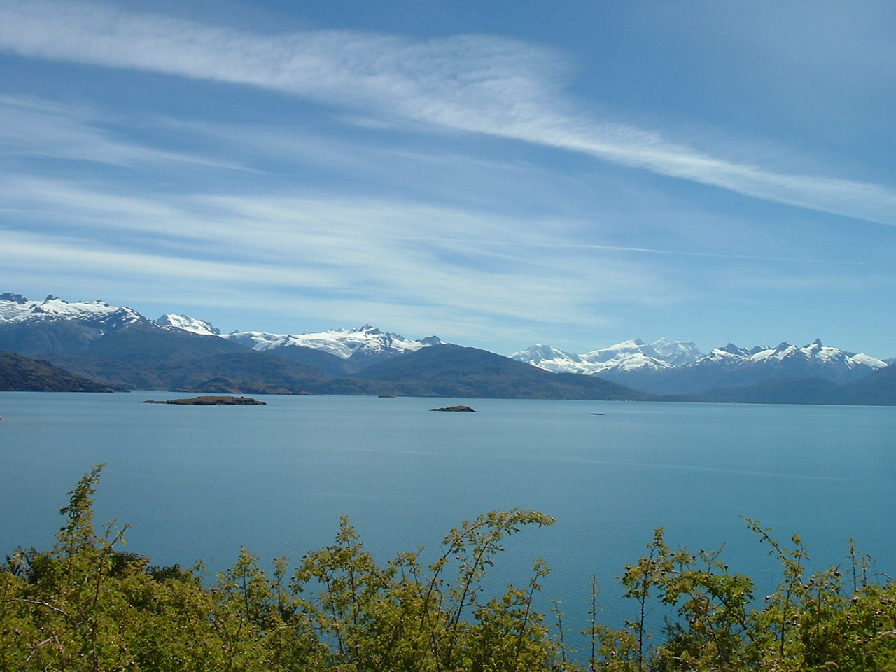
San Valentin as seen from the shore of Lake General CarreraElevation 4,058 m (13,314 ft) Prominence 3,696 m (12,126 ft)
Ranked 41stListing Ultra Location Location in Chile
 Monte San Valentin
Location Patagonia, Chile Range Andes Coordinates 46°35′42″S 73°20′45″W / 46.595°S 73.34583°WCoordinates: 46°35′42″S 73°20′45″W / 46.595°S 73.34583°W Climbing Easiest route major snow and ice climb Monte San Valentin, also known as Monte San Clemente, is the highest mountain in Chilean Patagonia[1] and the highest mountain south of 40°S outside Antarctica. It stands at the north end of the North Patagonian Icefield.
Monte San Valentin can be climbed from Lago Leones, to the south east, or from Laguna San Rafael, to the west. The ascent is long and is particularly subject to bad weather. The accident and fatality rate is high.
There is some confusion about the elevation. It was originally estimated at 3,876m by Nordenskjold in 1921 but later thought to be 4,058m. The latter is the most commonly quoted elevation and is quoted here. A French group that climbed the San Valentin in 1993 included two surveyors, who calculated an elevation of 4,080±20 m by using a GPS. In 2001 a Chilean group measured 4,070±40 m, also using GPS. SRTM and ASTER GDEM data also support an elevation in excess of 4,000 metres. But Chilean IGM mapping gives only 3,910 metres. ChIGM maps are usually accurate and reliable, but the summit is uniformly white, which may have created problems for the cartographers.
Contents
See also
- List of mountains in the Andes
- Laguna San Rafael National Park
- Mount Hudson
- Cerro Castillo
- Cerro Arenales
Notes
- ^ Although Monte San Valentin is often referred to as the highest mountain in all of Patagonia, Argentine Patagonia is considered to extend northwards to include Neuquén Province, which includes Domuyo (4,709m).
References
- John Biggar, The Andes, A Guide for Climbers, Andes, 3rd edition, 2005, ISBN 0-9536087-2-7
External links
Categories:- Geography of Aisén Region
- Mountains of Chile
- Aisén Region geography stubs

Wikimedia Foundation. 2010.