- Catfield
-
Coordinates: 52°44′25″N 1°32′07″E / 52.74032°N 1.53534°E
Catfield 
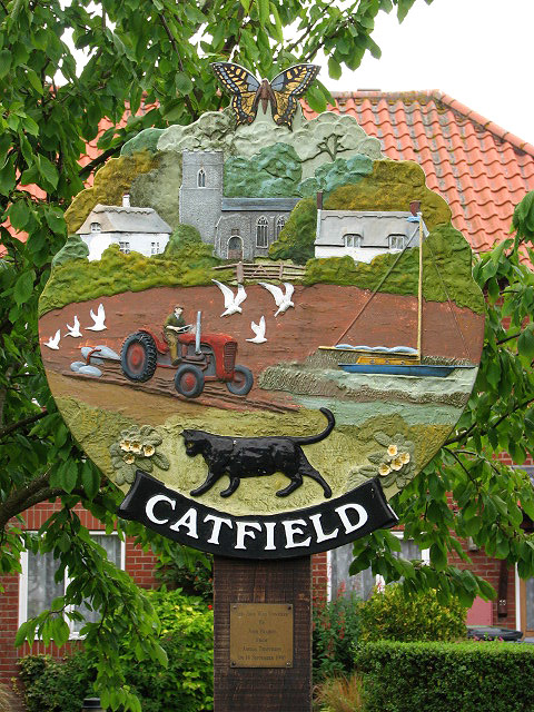
The Village sign, Catfield, Norfolk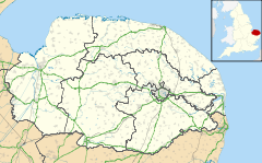
 Catfield
Catfield shown within NorfolkArea 10.02 km2 (3.87 sq mi) Population 848 (parish, 2001 census) - Density 85 /km2 (220 /sq mi) OS grid reference TG380210 - London 136 miles (219 km) Parish Catfield District North Norfolk Shire county Norfolk Region East Country England Sovereign state United Kingdom Post town NORTH WALSHAM Postcode district NR29 Dialling code 01692 Police Norfolk Fire Norfolk Ambulance East of England EU Parliament East of England UK Parliament North Norfolk List of places: UK • England • Norfolk Catfield is a village[1] and a civil parish in the English county of Norfolk. The village is 19.7 miles (31.7 km) south-east of Cromer, 17.3 miles (27.8 km) north-east of Norwich and 136 miles (219 km) north-east of London. The village lies 2.7 miles (4.3 km) south-south-east of the nearby town of Stalham. The nearest railway station is at Worstead for the Bittern Line which runs between Sheringham, Cromer and Norwich. The nearest airport is Norwich International Airport. The village is situated a little west of the A149 King’s Lynn to Great Yarmouth road.[2] The parish had in 2001 census, a population of 848. For the purposes of local government, the parish falls within the district of North Norfolk.
Contents
History
Catfield has an entry in the Domesday Book of 1085.[3] In the great book Catfield is recorded by the names Cate(s)felda, the main landholders being Roger Bigod and Count Alan.
Church of All Saints
The parish church of Catfield is called All Saints. Most of the building dates from the 14th century.[4] On the rood screen there are sixteen paintings of kings.[5] On the north wall of the sanctuary there is a tablet by the sculptor William Groves depicting a peepul tree at the top and a sheathed sword below dedicated to Lt Thomas Cubitt who died in 1848. Cubitt, who was a soldier died in his country’s cause before Multan, a town in the Punjab, India. The church is a Grade I listed building[6]
References
- ^ OS Explorer Map OL40 The Broads. ISBN 0-319-23769-9
- ^ County A to Z Atlas, Street & Road maps Norfolk, Page 229, ISBN 978-1-84348-614-5
- ^ The Domesday Book, Englands Heritage, Then and Now, Editor: Thomas Hinde,Norfolk page 188, Catfield, ISBN 1-85833-440-3
- ^ The Popular Guide to Norfolk Churches,1:North-East Norfolk, By D.P. Mortlock & C.V. Roberts, 1981, Pub:Acorn Editions, Page 24 catfield All saints, ISBN 0-906554-04-7
- ^ Norfolk 1: Norwich and North-East, By Nikolaus Pevsner and Bill Wilson, Catfield entry. ISBN 0-300-09607-0
- ^ "Images of England". English Heritage. http://www.imagesofengland.org.uk/details/default.aspx?id=224364.
External links
 Media related to Catfield at Wikimedia CommonsCategories:
- Villages in Norfolk
- Civil parishes in Norfolk
- Norfolk geography stubs

Wikimedia Foundation. 2010.