- Mumbles Pier
-
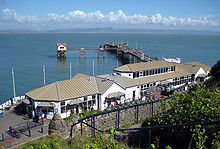 The Mumbles pier with amusement arcade and cafe in Spring 2008
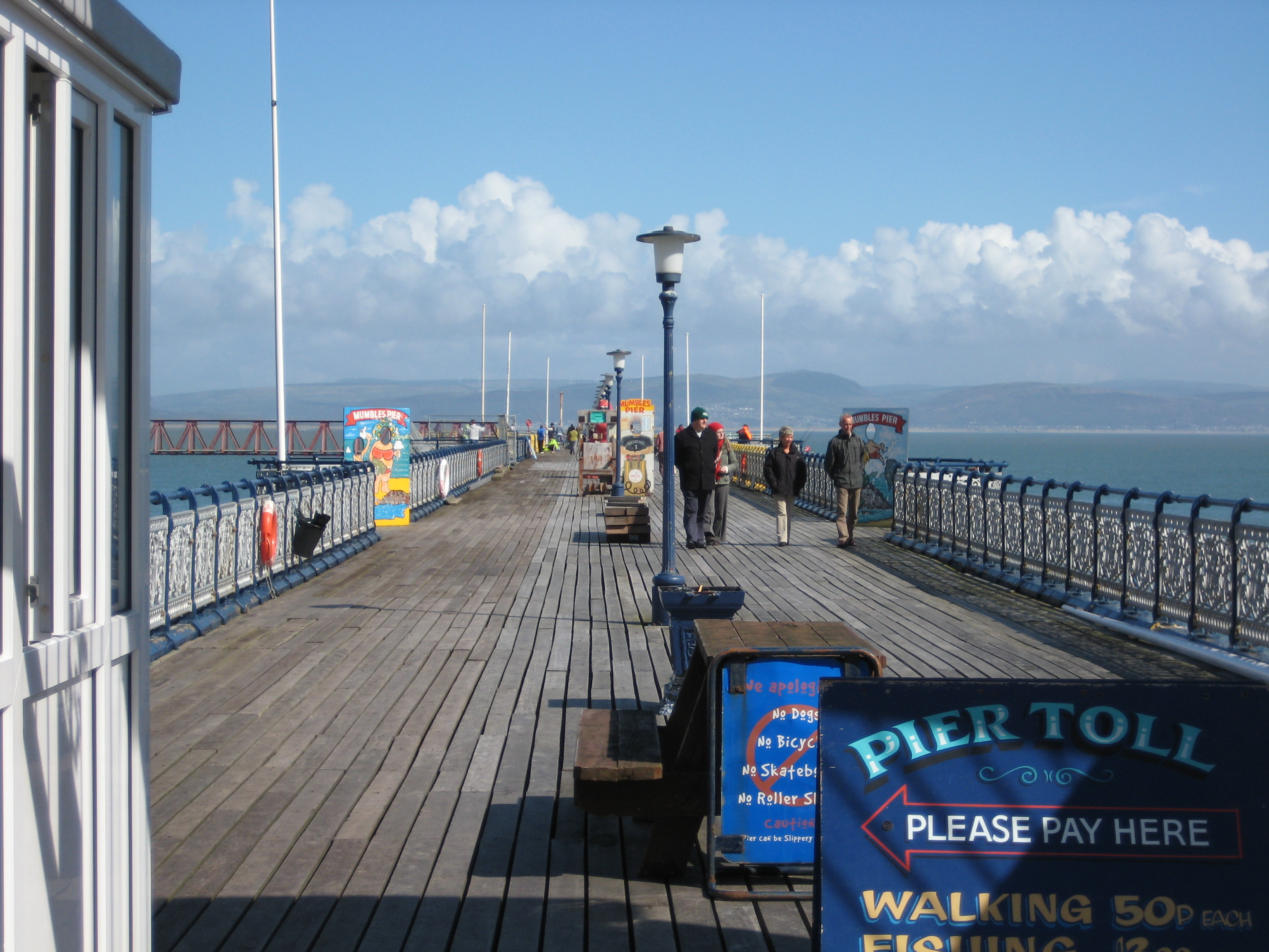
 Walkway of the Mumbles pier
 Lifeboat slipway
The Mumbles Pier is an 835 feet (255 m) long Victorian pier built in 1898. It is located at the south-eastern corner of Swansea Bay near the village of Mumbles within the city and county of Swansea, Wales.
Contents
Construction
Designed by W. Sutcliffe Marsh and promoted by John Jones Jenkins of the Rhondda and Swansea Bay Railway, the pier opened on 10 May 1898 at a cost of £10,000. It was the western terminus for the world's first passenger carrying railway, the Swansea and Mumbles Railway; and a major terminal for the White Funnel paddle steamers of P and A Campbell, unloading tourists from routes along the River Severn and Bristol Channel.
Heyday
The Amusement Equipment Company (AMECO) gained a licence to operate the pier from 1 October 1937. The pier was sectioned in World War II, but AMECO acquired the freehold in 1957, extensively reconstructing the facility and adding a landing jetty. A new arcade was built on the pier's frontage in 1966. AMECO spent between £25,000 and £30,000 per annum on the maintenance and replacement of the steelwork between 1975 and 1985.[1]
Reopening
Closed on 1 October 1987 for a £40,000 refit, which included renewal of the steel around the entrance, the pier reopened on Good Friday 1988.
Today, the pier is used only for fishing and tourism, offering panoramic views of Swansea Bay with the Mumbles Lighthouse on one side and Port Talbot on the other. Half way along the Pier on the Bay side is an Royal National Lifeboat Institution lifeboat station. Still housing the historical records of the local Mumbles lifeboat, the House also currently handles the 'Tyne' Class boat. The Pier complex is owned and operated by the Bollom family.
The land beside the pier is now an entertainment complex comprising bars, restaurant, an ice-skating rink (opened in 2006 and featured in an ITV Wales documentary series) and an amusement arcade.
Future plans
In recent years the pier has fallen into a state of disrepair with a large section fenced off to visitors and other areas patched up to maintain safety. The owners plan to repair the pier along with the regeneration of the nearby area. The plans include the building of a new hotel and spa, a conference and exhibition centre and a new boardwalk linking the Knab rock with the pier.[2]
References
External links
- GowerUK.com - Mumbles Pier
- Mumbles Pier
- Mumbles Lifeboat
- www.geograph.co.uk : photos of Mumbles Pier and surrounding area
- 39 million redevelopment
Coordinates: 51°34′11.00″N 3°58′49.00″W / 51.56972°N 3.98028°W
Categories:- Piers in Wales
- Swansea Bay
- Grade II listed buildings in Swansea
- Buildings and structures completed in 1898
- Visitor attractions in Swansea


Wikimedia Foundation. 2010.