- Dursey Island
-
Coordinates: 51°36′N 10°12′W / 51.6°N 10.2°W
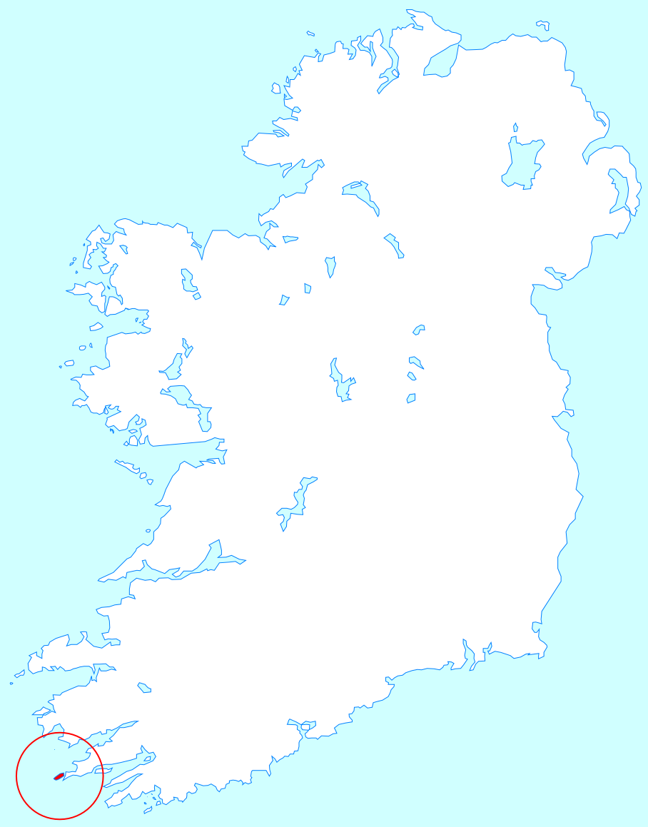
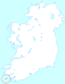 Location map of Dursey Island
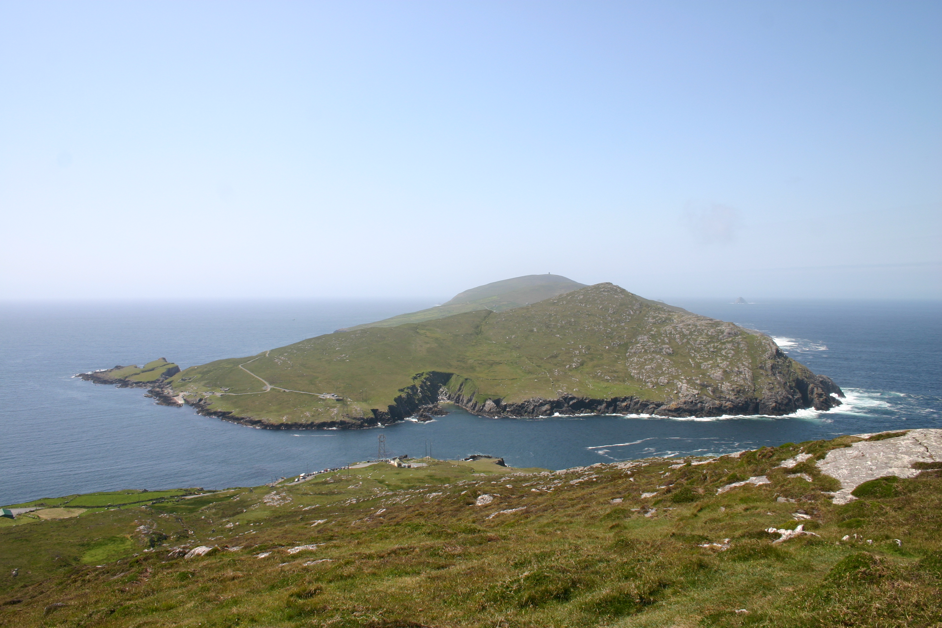
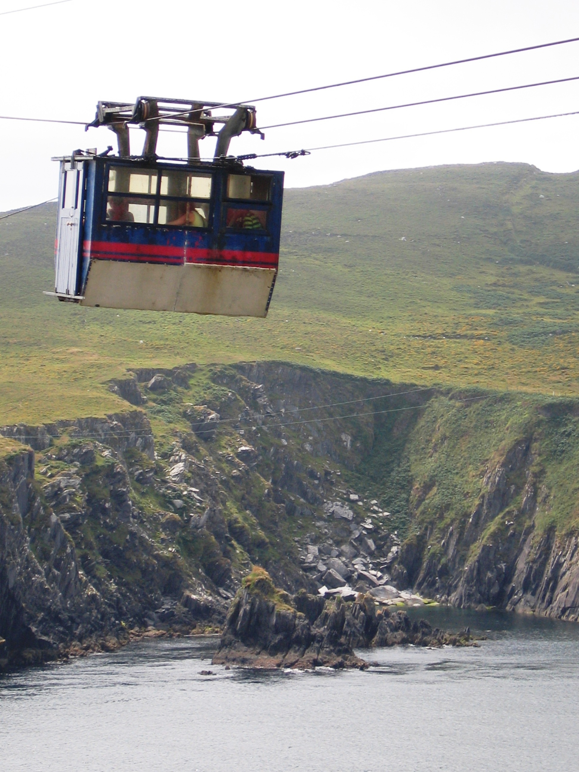
Dursey Island (Irish: Baoi Bhéarra or Oileán Baoi) lies at the southwestern tip of the Beara Peninsula in the west of County Cork in Ireland. Dursey Island is 6.5 km long and 1.5 km wide. The island is separated from the mainland by a narrow stretch of water called Dursey Sound which has a very strong tidal race, with a reef of rocks in the centre of the channel which is submerged at high tides. This peaceful island with only twelve or so permanent wintertime residents[1] is connected to the mainland by Ireland's only cable car, and the only cable car which goes over sea water in Europe spanning the sound that is one of its main attractions. Dersey has no shops, pubs or restaurants.[2] The population is about 6 to 8 people.
 Dursey Island as seen from the hike path
It is also well known for the nesting colonies of seabirds.
Contents
Calf Rock
The Calf Rock sits off the western point of the Island in a tidal race. Formerly a site for a lighthouse, the remains of which still exist.
Townlands
- Ballynacallagh
- Kilmichael
- Tilickafinna
Archaeological sites
- Ballaun Stones, Killowen, Ballynacallagh
- Castle Site, Ballynacallagh O'Sullivan garrison 1602
- Cup Marked Stone, Ballynacallagh
- Graveyarg/Ruined Church, Ballynacallagh
- Hut Site, Killowen
- Radial Stone Enclosure, Maughanaclea
- Signal Tower, Tilickatina
Gallery
-
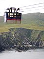
Ireland's only cable car
-
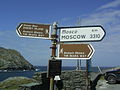
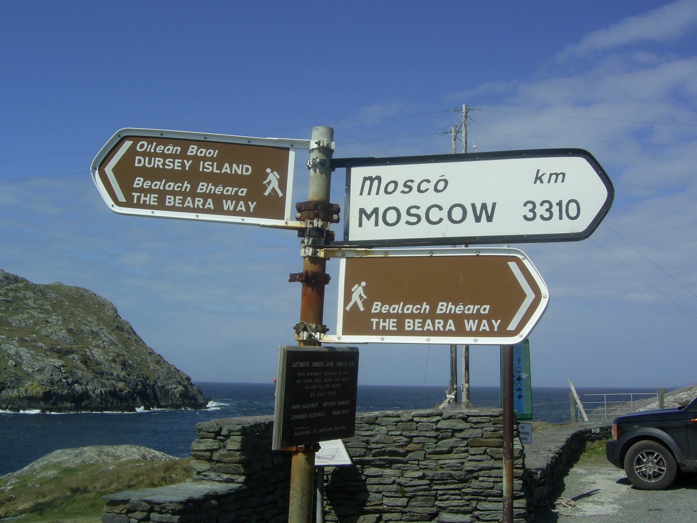
Sign on the mainland next to Dursey
-
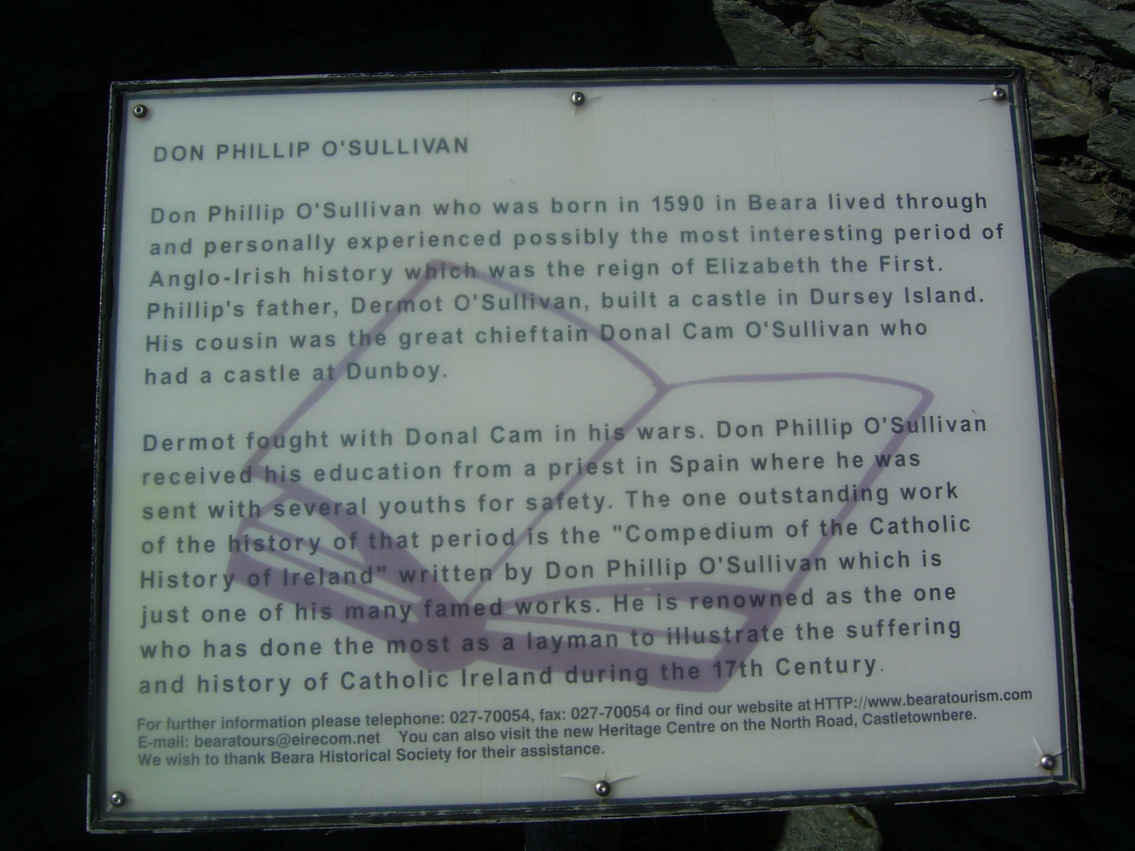
Diarmaid Ó Suileabháin built a castle on Dursey island
-

Notice on the mainland next to Dursey cable car
References
Categories:- Islands of County Cork
- Visitor attractions in County Cork
- Beara peninsula
- County Cork geography stubs

Wikimedia Foundation. 2010.