- New York State Route 92
-
NYS Route 92

Map of the Syracuse area with NY 92 highlighted in redRoute information Maintained by NYSDOT and the city of Syracuse Length: 17.33 mi[2] (27.89 km) Existed: 1930[1] – present Major junctions West end:  US 11 in Syracuse
 I-481 in DeWitt
East end:  US 20 in Cazenovia
Location Counties: Onondaga, Madison Highway system Numbered highways in New York
Interstate • U.S. • N.Y. (former) • Reference • County←  NY 91
NY 91NY 93  →
→New York State Route 92 (NY 92) is a state highway located in central New York in the United States. The western terminus of the route is at an intersection with U.S. Route 11 (US 11, named State Street) in downtown Syracuse. Its eastern terminus is at a junction with US 20 west of the village of Cazenovia. NY 92 is known as East Genesee Street through Syracuse and DeWitt; from DeWitt to Cazenovia, its name varies by location. It heads generally eastward through Syracuse to DeWitt, where it crosses Interstate 481 (I-481) while concurrent with NY 5. At the east end of the overlap, it splits off follows a more southeasterly routing through the village of Manlius to Cazenovia.
NY 92 was assigned as part of the 1930 renumbering of state highways in New York; however, it originally began in Fayetteville. At the time, the portion of Genesee Street in eastern Syracuse was part of NY 5. NY 92 was extended westward into Syracuse in the 1930s after NY 5 was realigned to follow Erie Boulevard instead. NY 92 was concurrent with parts of NY 20N from the 1930s to ca. 1962 and with the easternmost section of NY 20SY from the 1950s to ca. 1962. When NY 20SY was removed ca. 1962, NY 92 was rerouted to bypass Fayetteville on NY 20SY's former routing southwest of the village.
Contents
Route description
Syracuse
NY 92 begins as a city-maintained highway at an intersection with US 11 (State Street) in downtown Syracuse.[3] The route heads eastward on East Genesee Street, passing under I-81 before splitting into a one-way couplet at Almond Street. For the next two blocks, the eastbound and westbound lanes of NY 92 are separated by a small park situated within the block formed by Almond Street, Forman Avenue, and both directions of Genesee Street. The couplet ends just east of Forman Avenue, at which point NY 92 continues on as a highway four lanes wide but with one through traffic lane and one lane reserved for parking in each direction.[4]
 Buildings along NY 92 and NY 173 in Manlius
At Lexington Avenue, NY 92 begins to turn to the southeast as it heads through more residential areas of the city. At East Avenue, a local street just west of Nottingham Senior High School, the parking lanes become open to through traffic, effectively widening the road to two lanes in each direction. The route passes north of the school and St. Mary's Cemetery and south of LeMoyne College before exiting the city limits.[4] At this point, maintenance of the route shifts from Syracuse to the New York State Department of Transportation (NYSDOT).[3] Now in DeWitt, NY 92 continues past several blocks lined with homes to an intersection with Erie Boulevard, a six-lane divided highway that carries NY 5 through eastern Syracuse. The boulevard ends here, however, and NY 5 turns to join NY 92 eastward along Genesee Street.[4]
East of Syracuse
Not far to the east of this junction, Routes 5 and 92 meet I-481 by way of a cloverleaf interchange. East of the interchange, Genesee Street widens to six lanes (three in each direction) as it heads along a commercial strip anchored by a large plaza featuring a Wegmans Food Markets store. NY 5 and NY 92 split at the east end of the strip in the hamlet of Lyndon. While NY 5 continues east along Genesee Street to Fayetteville, NY 92 heads southeast along the two-lane Highbridge Road and bypasses Fayetteville to the southwest.[4]
 Route 92 westbound at the intersection with Route 257 in the village of Manlius
The route continues into the town of Manlius, where it crosses over Limestone Creek at the hamlet of High Bridge. Past this point, the amount of development along the highway increases as it approaches an intersection with NY 257 just inside of the Manlius village limits. Here, NY 92 becomes four lanes wide once again as it heads along the mostly commercial Fayette Street toward the village center. In the heart of Manlius, NY 92 overlaps with NY 173 for about 750 feet (230 m) past another commercial strip along Seneca Street before resuming its southeasterly progression at Washington Street. It becomes Cazenovia Road upon exiting the village.[4]
Outside of the village of Manlius, the amount of development along the route decreases as the homes lining the route become more spaced out. NY 92 follows Limestone Creek southeastward through the towns of Manlius and Pompey to the Madison County line, where the creek turns south to run through Pompey Hollow, an area of flatlands situated on the Onondaga County side of the line. The highway continues on into Madison County, where it becomes known as Syracuse Road as it heads through the town of Cazenovia. Most of NY 92 in Madison County passes through rural, undeveloped areas; however, the section just north of its intersection with US 20 runs along Cazenovia Lake and serves several lakeside homes. NY 92 ends upon intersecting US 20 at the southwestern tip of the lake just west of the village of Cazenovia.[4]
History
 The eastern terminus of NY 92 at an intersection with US 20 in Cazenovia
NY 92 was assigned as part of the 1930 renumbering of state highways in New York to a northwest–southeast roadway connecting Fayetteville to Cazenovia.[1][5] At Fayetteville, NY 92 ended at NY 5, which continued west into downtown Syracuse on Genesee Street.[6] NY 5 was realigned ca. 1934 to follow Erie Boulevard through eastern Syracuse. NY 5's former routing along Genesee Street between Columbus Avenue and Erie Boulevard became a westward extension of NY 92, which overlapped NY 5 from Fayetteville to DeWitt. At Columbus Avenue, NY 92 turned north and followed that street to Erie Boulevard, where it ended at NY 5.[7][8] NY 92 was extended west along Genesee Street to its current terminus at US 11 at some point between 1935 and 1938.[9][10]
Ca. 1938, the segment of NY 92 between Manlius and Cazenovia became part of NY 20N, a northerly alternate route of US 20 that was concurrent with other state routes for its entire length.[11][12] In the early 1950s, the portions of NY 92 west of DeWitt and from Manlius to Cazenovia also became part of NY 20SY, another alternate route of US 20 that veered even farther north than NY 20N in order to serve downtown Syracuse.[13][14] NY 20SY was realigned slightly between 1952 and 1954 to follow NY 5 through eastern Syracuse instead.[14][15]
While most of NY 20SY overlapped other state routes, there were two sections where NY 20SY was the sole designation assigned to the highway it ran along. One of the two segments was near Fayetteville, where NY 20SY left NY 5 and NY 92 west of the village and bypassed Fayetteville to the southwest on Highbridge Road before rejoining NY 92 just north of Manlius.[15] The NY 20N and NY 20SY designations were removed ca. 1962,[16][17] at which time NY 92 was realigned to bypass Fayetteville by way of NY 20SY's former routing southwest of the village.[18][19]
Major intersections
County Location Mile[2] Destinations Notes Onondaga Syracuse 0.00 US 11 (Salina Street)DeWitt 4.41  NY 5 west
Western terminus of NY 5 / NY 92 overlap 4.77 I-481Exits 3E–W (I-481) 5.54 NY 5 eastEastern terminus of NY 5 / NY 92 overlap Village of Manlius 9.00  NY 257
Southern terminus of NY 257 9.40  NY 173 west
Western terminus of NY 92 / NY 173 overlap 9.56 NY 173 eastEastern terminus of NY 92 / NY 173 overlap Madison Town of Cazenovia 17.33 US 201.000 mi = 1.609 km; 1.000 km = 0.621 mi References
- ^ a b Automobile Legal Association (ALA) Automobile Green Book, 1930–31 and 1931–32 editions, (Scarborough Motor Guide Co., Boston, 1930 and 1931). The 1930–31 edition shows New York state routes prior to the 1930 renumbering
- ^ a b "2008 Traffic Data Report for New York State" (PDF). New York State Department of Transportation. June 16, 2009. pp. 229–230. https://www.nysdot.gov/divisions/engineering/technical-services/hds-respository/NYSDOT_Traffic_Data_Report_2008.pdf. Retrieved December 8, 2009.
- ^ a b "Onondaga County Inventory Listing" (CSV). New York State Department of Transportation. March 2, 2010. https://www.nysdot.gov/divisions/engineering/technical-services/hds-repository2/INV_2010-03-02_onondaga.csv. Retrieved December 18, 2010.
- ^ a b c d e f Google, Inc. Google Maps – overview map of NY 92 (Map). Cartography by Google, Inc. http://maps.google.com/maps?hl=en&rlz=1T4ADBF_enUS232US232&q=from:+E+Genesee+St/RT-92+%4043.048010,+-76.147450+to:+E+Genesee+St/RT-92+%4043.035266,+-76.068037+to:Syracuse+Rd+%4042.925160,+-75.872470&um=1&ie=UTF-8&sa=N&tab=wl. Retrieved December 30, 2009.
- ^ Dickinson, Leon A. (January 12, 1930). "New Signs for State Highways". The New York Times: p. 136.
- ^ Texas Oil Company (1932). Texaco Road Map – New York (Map). Cartography by Rand McNally and Company.
- ^ Texas Oil Company (1933). Texaco Road Map – New York (Map). Cartography by Rand McNally and Company.
- ^ Texas Oil Company (1934). Road Map of New York (Map). Cartography by Rand McNally and Company.
- ^ Sun Oil Company (1935). Road Map & Historical Guide – New York (Map). Cartography by Rand McNally and Company.
- ^ Esso (1938). New York Road Map for 1938 (Map). Cartography by General Drafting.
- ^ Standard Oil Company (1937). New York (Map). Cartography by General Drafting.
- ^ Thibodeau, William A. (1938). The ALA Green Book (1938–39 ed.). Automobile Legal Association.
- ^ Socony-Vacuum Oil Company (1950). New York (Map). Cartography by Rand McNally and Company.
- ^ a b Sunoco (1952). New York (Map). Cartography by Rand McNally and Company. Syracuse inset.
- ^ a b Esso (1954). New York with Special Maps of Putnam–Rockland–Westchester Counties and Finger Lakes Region (Map). Cartography by General Drafting (1955–56 ed.).
- ^ Sunoco (1961). New York and Metropolitan New York (Map). Cartography by H.M. Gousha Company (1961–62 ed.).
- ^ Esso (1962). New York with Sight-Seeing Guide (Map). Cartography by General Drafting.
- ^ Esso (1958). New York with Special Maps of Putnam–Rockland–Westchester Counties and Finger Lakes Region (Map). Cartography by General Drafting (1958 ed.).
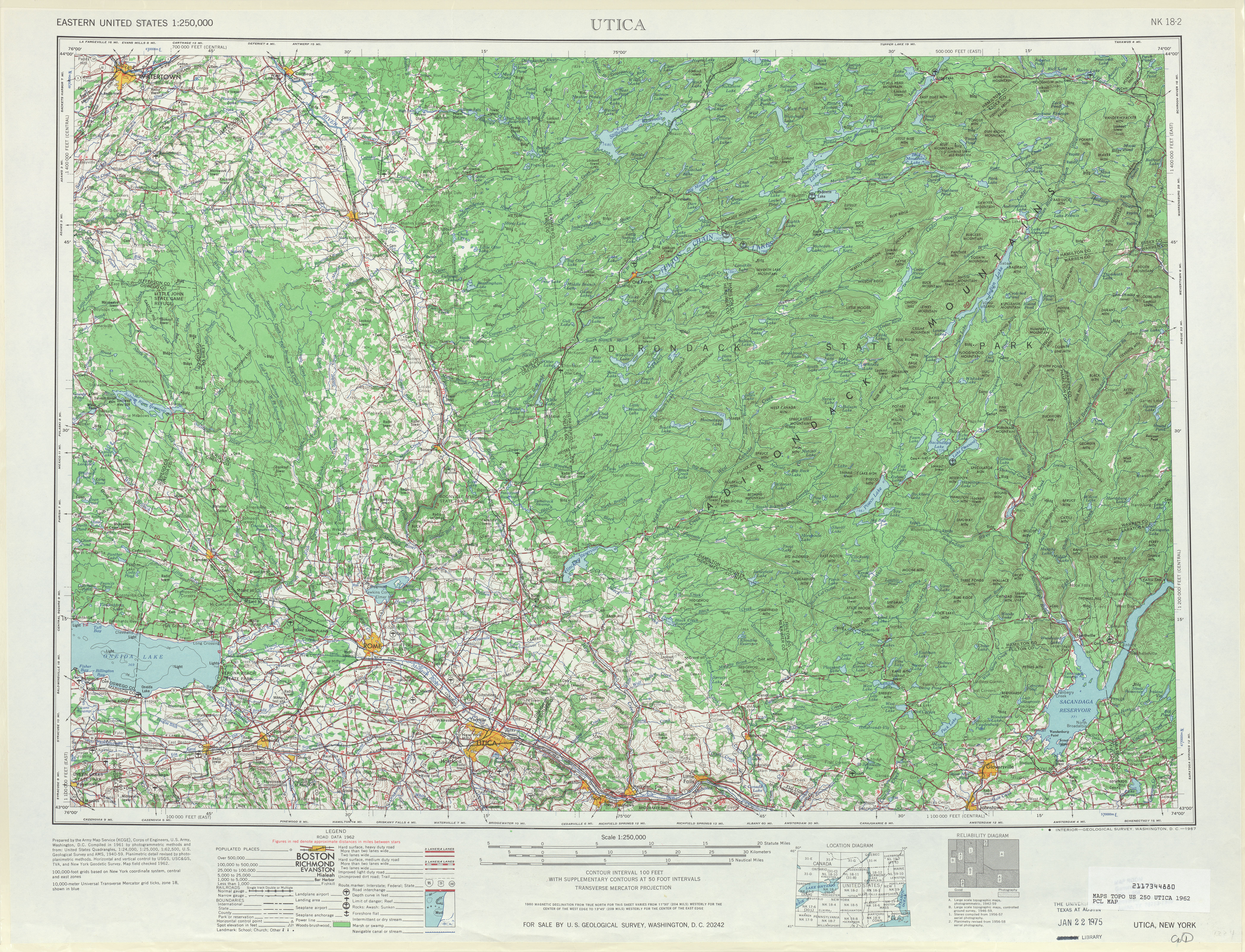
- ^ United States Geological Survey (1962). Utica, NY Quadrangle (Map). 1:250,000. Eastern United States 1:250,000. http://www.lib.utexas.edu/maps/topo/250k/txu-pclmaps-topo-us-utica-1962.jpg. Retrieved December 30, 2009.
External links
New York State Route 20SY New York State Route 5 • New York State Route 20N • New York State Route 92 • New York State Route 173 • New York State Route 321
New York State Route 20N 
New York State Route 20SY • New York State Route 92 • New York State Route 173 • New York State Route 174 • New York State Route 175
Categories:- State highways in New York
- Transportation in Syracuse, New York
- Transportation in Onondaga County, New York
- Transportation in Madison County, New York


Wikimedia Foundation. 2010.