- New Mapoon, Queensland
-
New Mapoon
Queensland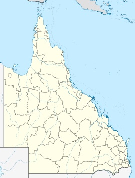
 New Mapoon
Population: 346[1] Postcode: 4876 Location: LGA: Northern Peninsula Area Region State District: Cook Federal Division: Leichhardt New Mapoon is an area South of Seisia and West of Bamaga at the tip of Cape York Peninsula, adjoining the Lockerbie Scrub. At the 2006 census, New Mapoon had a population of 346.[1]
The people who live at New Mapoon were forcibly moved from Marpuna in the early 1960s to accommodate mining expansion on their traditional country. They now have historical association and administrative responsibility for a DOGIT area on the traditional country of the Gudang people. The residents of New Mapoon have a ranger service, which works closely with the Injinoo and other Northern Peninsula Area (NPA) community rangers to undertake land management practices in the NPA.
New Mapoon has a library (Indigenous Knowledge Centre), General store, Arts and Craft and Bait and Tackle shop.
References
- ^ a b Australian Bureau of Statistics (25 October 2007). "New Mapoon (L) (Urban Centre/Locality)". 2006 Census QuickStats. http://www.censusdata.abs.gov.au/ABSNavigation/prenav/LocationSearch?collection=Census&period=2006&areacode=UCL343900&producttype=QuickStats&breadcrumb=PL&action=401. Retrieved 2009-05-03.
Aerial photos & maps
- New Mapoon, Queensland is at coordinates 10°51′58″S 142°23′10″E / 10.866°S 142.386°ECoordinates: 10°51′58″S 142°23′10″E / 10.866°S 142.386°E
Categories:- Towns in Queensland
- Indigenous Australian communities
- Far North Queensland
- Far North Queensland geography stubs

Wikimedia Foundation. 2010.