- City of Port Phillip
-
City of Port Phillip
Victoria
Population: 96,110(2009)[1] Established: 1994 Area: 20.62 km² (8.0 sq mi) Mayor: Rachel Powning 
LGAs around City of Port Phillip: Melbourne Melbourne Stonnington Melbourne City of Port Phillip Glen Eira Port Phillip Port Phillip Bayside The City of Port Phillip is a Local Government Area in Victoria, Australia. It is located on the northern shores of Port Phillip, south of Melbourne's central business district. It has an area of 20.62 km² and has an estimated population of 96,110 people.
Port Phillip contains a number of varied and substantial retail, entertainment and leisure precincts. These include Bay Street (Port Melbourne), Victoria Avenue (Albert Park), Clarendon Street (South Melbourne), Armstrong Street (Middle Park), Fitzroy Street (St Kilda), Acland Street (St Kilda), Carlisle Street (Balaclava) and Ormond Road (Elwood). A number of significant employment areas lay within Port Phillip, including the St Kilda Road office district and industrial, warehousing and manufacturing districts in South Melbourne and Port Melbourne. The city has experienced a significant amount of residential development in the 1990s, particularly in areas close to the foreshore.
Port Phillip is well served by public transport with a substantial tram network, the St Kilda and Port Melbourne light rail lines and two stations on the Sandringham rail line, in addition to bus services.
Comprising seven wards, it is predominantly an amalgamation of three former cities - St Kilda, parts of South Melbourne, most of Port Melbourne, plus a small portion of Windsor from the former City of Prahran. [1].
The city was created in the present borders in June 1994 under the municipal restructure by the then Jeff Kennett Liberal government. At the time the city was administered by the then Commissioner Des Clarke and two other commissioners. The first council elections were held in March 1996.
The City of Port Phillip is bounded by White Reserve and Todd Road to the west, the West Gate Freeway, Kings Way and Dorcas Street to the north, St Kilda Road, High Street, Punt Road, Queens Way, Dandenong Road, Orrong Road, Inkerman Street, Hotham Street, Glen Huntly Road, St Kilda Street and Head Street generally to the east and the foreshore of Port Phillip to the south. Adjacent councils include the City of Melbourne, City of Bayside, City of Glen Eira and the City of Stonnington.
Council offices are currently located in the St Kilda Town Hall, Port Melbourne Town Hall and the South Melbourne Town Hall. The council operates several other facilities including local libraries, child care centres, parks, playgrounds and community centres.
Contents
Schools
- Albert Park Primary School, [2]
- Elwood Primary School, [3]
- Galilee Regional Primary School (Roman Catholic), [4]
- Middle Park Primary School, [5]
- Port Melbourne Primary School (formerly Graham St Primary), [6]
- St Kilda Park Primary School, [7]
- St Kilda Primary School, [8]
- Albert Park Secondary College, [9] The School Council voted on 11 October 2006 that the school close (see The Age 12 October - [10]), although there is much residual opposition which has resulted in a protest march to Thwaites office and the formation of a grass roots movement to save the school from closure called "save albert park college". The re-build school is due to re-open in 2011 but with only an intake of year 7 (form 1) students in that year.
- Elwood Secondary College, [11]
- Mac.Robertson Girls' High School (elite government girls secondary college with an entry test)
- St Michael's Grammar School (Church of England/Anglican)
Offices
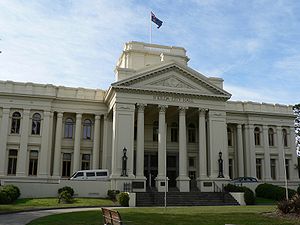 St Kilda Town Hall from entrance gardens
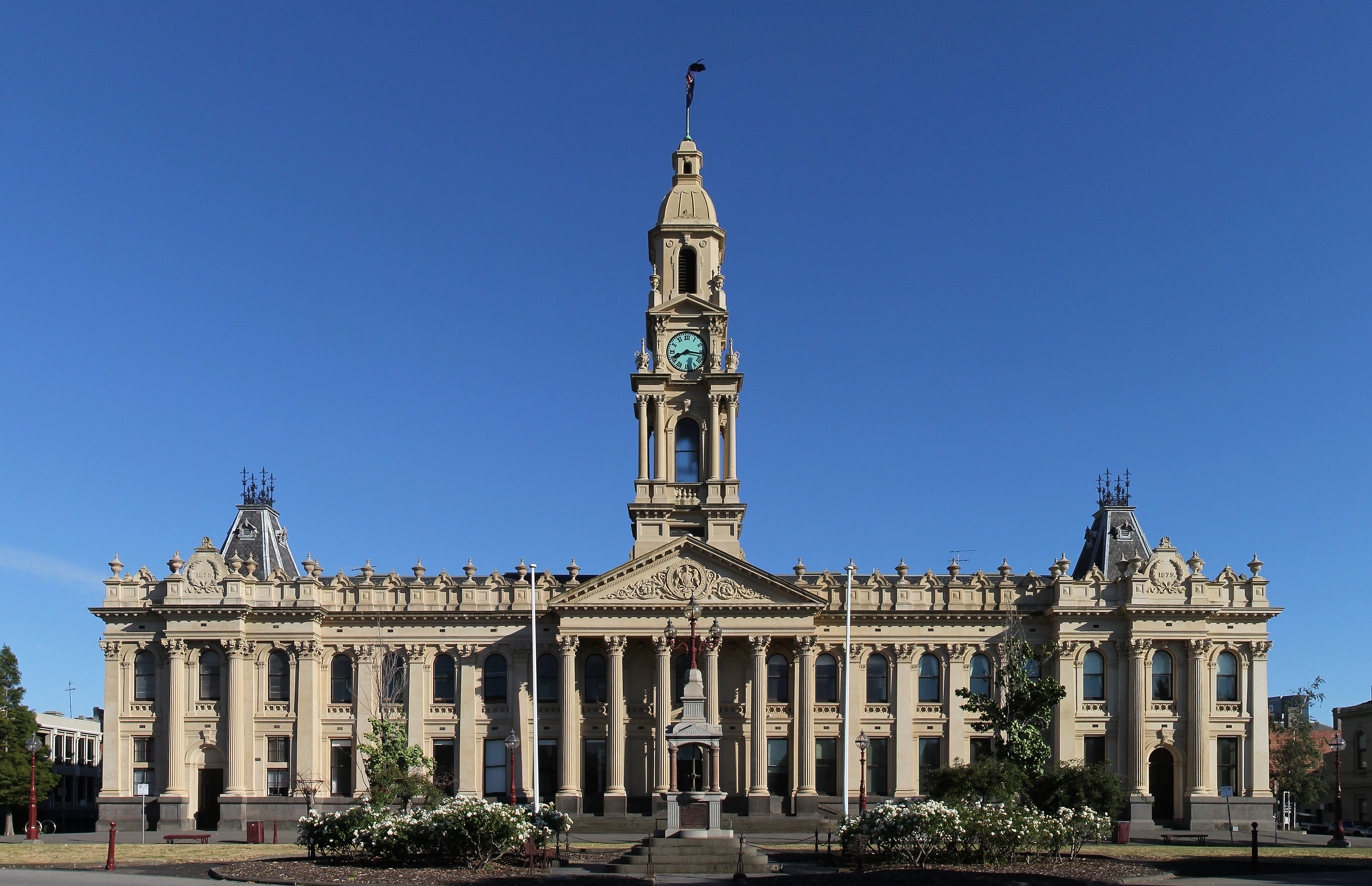
 South Melbourne Town Hall
- St Kilda Town Hall
- South Melbourne Town Hall
- Port Melbourne Town Hall
Libraries
 St Kilda Public Library
- St Kilda
- Albert Park
- Emerald Hill (South Melbourne)
- Middle Park
- Port Melbourne
Notable institutions
- Greek Orthodox Archdiocese of Victoria, South Melbourne
- Hare Krishna Temple, Albert Park
- Australian National Music Academy, South Melbourne (in former City of South Melbourne Town Hall)
- 2/10 Medium Regiment, Royal Australian Artillery (Army Reserve), Chapel Street, East St Kilda
- City of Port Phillip Town Hall, St Kilda (Former City of St Kilda Town Hall) (council meeting usually on the 4th Monday of the month with 2 committee meetings earlier in the month) See website [12]
- Former City of Port Melbourne Town Hall, Port Melbourne
- Former City of South Melbourne Town Hall, South Melbourne
Notable events
- St Kilda Festival (300,000 people attend this annual music event, Fitzroy Street and Upper Esplanade closed, tram services to the event)
- St Kilda Film Festival (Australia's Top 100 short films, SoundKILDA: Australia Music Video Competition, international films, forums, Industry Open Day...and so much more.)
- Gay Pride March (Fitzroy Street and Catani Gardens, St Kilda, dykes on bikes, boot scooting, marching groups, music and political activism.)
- St Kilda Writers Festival (local and international writers compare their skills)
- Melbourne Formula 1 Grand Prix (Albert Park Reserve) 4 day international motor racing event held in early March; usually on the Labour Day/Moomba holiday long weekend.
Suburbs and localities
- Albert Park
- Balaclava
- Beacon Cove
- Elwood
- Garden City
- Middle Park
- Port Melbourne - part
- Ripponlea - part
- Southbank - part
- South Melbourne
- St Kilda
- St Kilda East - part
- St Kilda Road
- St Kilda West
- Windsor - part
Current Council
The Council is composed of seven councillors, each elected to represent one of the seven existing wards. The following councillors were elected in December 2008. This followed a ward restructure which occurred earlier in the year.
- Albert Park Ward: Cr Judith Klepner
- Carlisle Ward: Cr Rachel Powning (Mayor)
- Catani Ward: Cr Serge Thomann
- Emerald Hill Ward: Cr Frank O'Connor
- Junction Ward: Cr John Middleton
- Point Ormond Ward: Cr Jane Touzeau
- Sandridge Ward: Cr Janet Bolitho
Mayors
Chief Executive
- Ms Kay Rundle (from May 2009)
Sister cities
 Obu, Aichi, Japan. [13]
- Devonport, Tasmania Australia (destination for "Spirit of Tasmania" ferries from Station Pier, Port Melbourne)
See also
- List of localities (Victoria) for other Melbourne suburbs and municipalities.
- List of Mayors of Port Phillip
References
- ^ Australian Bureau of Statistics (30 March 2010). "Regional Population Growth, Australia, 2008–09". http://www.abs.gov.au/ausstats/abs@.nsf/Latestproducts/3218.0Main%20Features52008-09?opendocument&tabname=Summary&prodno=3218.0&issue=2008-09&num=&view=. Retrieved 4 June 2010.
External links
- Port Phillip Online - official website
- Metlink local public transport map
- Link to Land Victoria interactive maps
- Sister Cities by the Sea - information on the relationship between Obu and Port Phillip (English and Japanese content).
- PortPhillip.com
Suburbs of the City of Port Phillip | Melbourne | Victoria Albert Park · Balaclava · Elwood · Melbourne · Middle Park · Port Melbourne · Ripponlea · St Kilda · St Kilda East · St Kilda West · Southbank · South Melbourne
Local Government Areas of Victoria Greater Melbourne Inner MelbourneMetropolitanBanyule · Bayside · Boroondara · Darebin · Glen Eira · Hobsons Bay · Kingston · Maribyrnong · Maroondah · Monash · Moonee Valley · Moreland · WhitehorseOuter MetropolitanBrimbank · Cardinia · Casey · Frankston · Greater Dandenong · Hume · Knox · Manningham · Melton · Mornington Peninsula · Nillumbik · Whittlesea · Wyndham · Yarra RangesSouthwest Central Highlands and Goldfields Goulburn Valley Northeast Gippsland Western District Wimmera The Mallee Categories:- Populated places established in 1994
- 1994 establishments in Australia
- Local Government Areas in Melbourne


Wikimedia Foundation. 2010.