- Michaelwood services
-
Michaelwood Services 
County Gloucestershire Road M5 Motorway Coordinates 51°39′23″N 2°25′48″W / 51.6564°N 2.43°WCoordinates: 51°39′23″N 2°25′48″W / 51.6564°N 2.43°W Operator Welcome Break Date opened 1971[1] Website Welcome Break 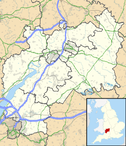
 Michaelwood services (Gloucestershire)
Michaelwood services is a motorway service station between junctions 13 and 14 of the M5 motorway north of Bristol, located close to the towns of Wotton-under-Edge and Dursley in Gloucestershire.
The service station is owned by Welcome Break, although the forecourt has recently been taken back over by BP. The name is pronounced mick-all-wood, rather than Michael-wood.[2]
There are two sites on opposite carriageways, connected by a footbridge over the motorway. Unusually for UK service stations, the sites are not directly opposite each other, but are slightly staggered, the northbound side being slightly further south, A more extreme example of this can be found at Strensham services. Roads on both the north and south bound sides of the services allow access to the local road network (Damery Lane southbound and an unclassified road northbound) for staff access only. It is illegal for the public to use these roads.
The service station is one of fourteen for which large murals were commissioned from artist David Fisher in the 1990s, designed to reflect the local area and history[3].
Facilities
The following facilities can be found at Michaelwood[4]
- Starbucks
- Eat In
- Burger King
- KFC
- WHSmith
- Days Inn (Northbound)
- Cash Machines
- Ecotricity Electric Car Charge Point
- BP Fuel
References
- ^ Motorway Services Trivia - Chronology - Accessed 14 February 2009
- ^ Michaelwood - Motorway Services Online - Accessed 14 February 2009
- ^ http://www.davidfisherartist.co.uk/achievements.html
- ^ Welcome Break - Michaelwood - Accessed 14 February 2009
External links
- Welcome Break - Michaelwood
- Michaelwood Services - Motorway Services Online
- Michaelwood Services - Motorway Services Info
Previous:
StrenshamMotorway service stations on the
M5 MotorwayNext:
GordanoLocations Abington · Birchanger Green · Burtonwood · Cardiff Gate · Charnock Richard · Corley · Derby South · Fleet · Gretna Green · Gordano · Hartshead Moor · Hopwood Park · Keele · Leicester Forest East · London Gateway · Membury · Michaelwood · Newport Pagnell · Oxford · Sarn Park · Sedgemoor (northbound) · South Mimms · Telford · Warwick · WoodallFood Franchises Retail Franchises Fuel Franchises Accomodation Franchises Days Inn ·Categories:- M5 motorway service stations
- Welcome Break motorway service stations


Wikimedia Foundation. 2010.