- Curú Wildlife Refuge
-
Curú Wildlife Refuge IUCN Category IV (Habitat/Species Management Area)Location within Costa Rica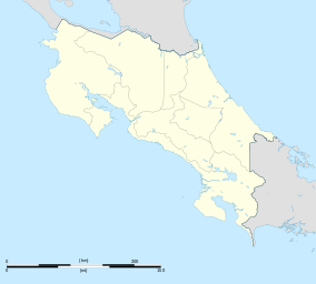

Location Puntarenas Province, Costa Rica Coordinates 9°47′36″N 84°55′21″W / 9.7934°N 84.9226°WCoordinates: 9°47′36″N 84°55′21″W / 9.7934°N 84.9226°W[1] Area 173 acres (0.70 km2) Established 1983 Governing body National System of Conservation Areas (SINAC) The Curú Wildlife Refuge is a Wildlife refuge of Costa Rica, part of the Tempisque Conservation Area, tropical dry forests on the southern Nicoya Peninsula, near Tambor. Although it is a wildlife refuge it is also private property forming part of a ranch of 12.14 square kilometres, two thirds of which are forest with the remainder used for cattle breeding.
The refuge protects the habitat of many types of birds, as well as animals such as White-tailed Deer, howler monkeys, coyotes, armadillos and boa constrictors.
References
External links
- Curú Wildlife Refuge at Costa Rica National Parks
Categories:- IUCN Category IV
- Costa Rican protected area stubs
- Nature reserves in Costa Rica

Wikimedia Foundation. 2010.