- Lauhanvuori National Park
Geobox|Protected Area
name = Lauhanvuori National Park
native_name =
other_name =
other_name1 =
category_local = National Park of Finland
category_iucn = II
image_size =
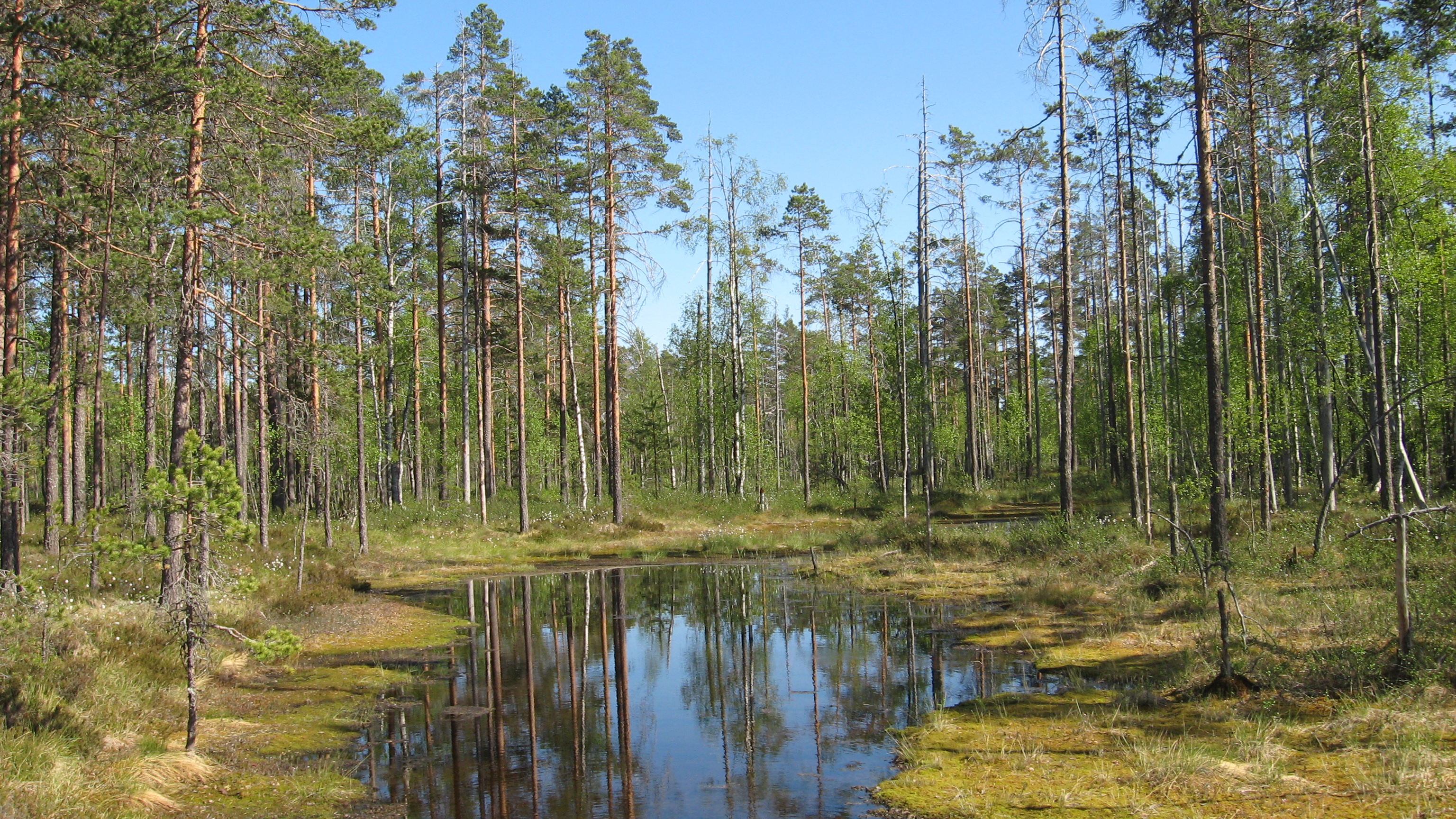
image_caption = A swamp lake in Lauhanvuori National Park, Isojoki
country = Finland
country_
state =
state_type =
state_
region = Western Finland
region_type = County
location =
lat_d = 62
lat_m = 09
lat_s = 07
lat_NS = N
long_d = 22
long_m = 10
long_s = 30
long_EW =E
elevation =
biome = swamp
biome_share =
biome1 =
biome1_share =
geology =
geology1 =
plant =
plant1 =
animal =
animal1 =
area = 53
area1 =
area1_type =
length =
length_orientation =
width =
width_orientation =
highest =
highest location =
highest_lat_d =
highest_lat_m =
highest_lat_s =
highest_lat_NS =
highest_long_d =
highest_long_m =
highest_long_s =
highest_long_EW =
highest_elevation =
lowest =
lowest_location =
lowest_lat_d =
lowest_lat_m =
lowest_lat_s =
lowest_lat_NS =
lowest_long_d =
lowest_long_m =
lowest_long_s =
lowest_long_EW =
lowest_elevation =
established_type = Established
established = 1982
established1_type =
established1 =
management_body =Metsähallitus
management_location =
management_lat_d =
management_lat_m =
management_lat_s =
management_lat_NS =
management_long_d =
management_long_m =
management_long_s =
management_long_EW =
management_elevation =
visitation = 27000
visitation_date =2005
free_type =
free =
free1_type =
free1 =
map_locator_x = 27
map_locator_y = 97
map_size =
map_caption =
map_first =
website = http://www.outdoors.fi/lauhanvuorinpLauhanvuori National Park ("Lauhanvuoren kansallispuisto") is a
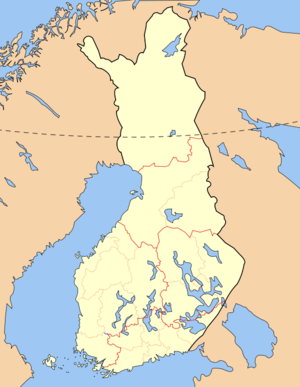
national park inWestern Finland , on the border ofKauhajoki andIsojoki . It was established in 1982 and covers convert|53|km2|sqmi|0.The park is characterized by its
pine forestland, spring brooks, and swamps.See also
*
List of national parks of Finland
*Protected areas of Finland External links
* [http://www.outdoors.fi/lauhanvuorinp Outdoors.fi – Lauhanvuori National Park]

Wikimedia Foundation. 2010.