- Lehavim
Infobox Israel municipality
name=Lehavim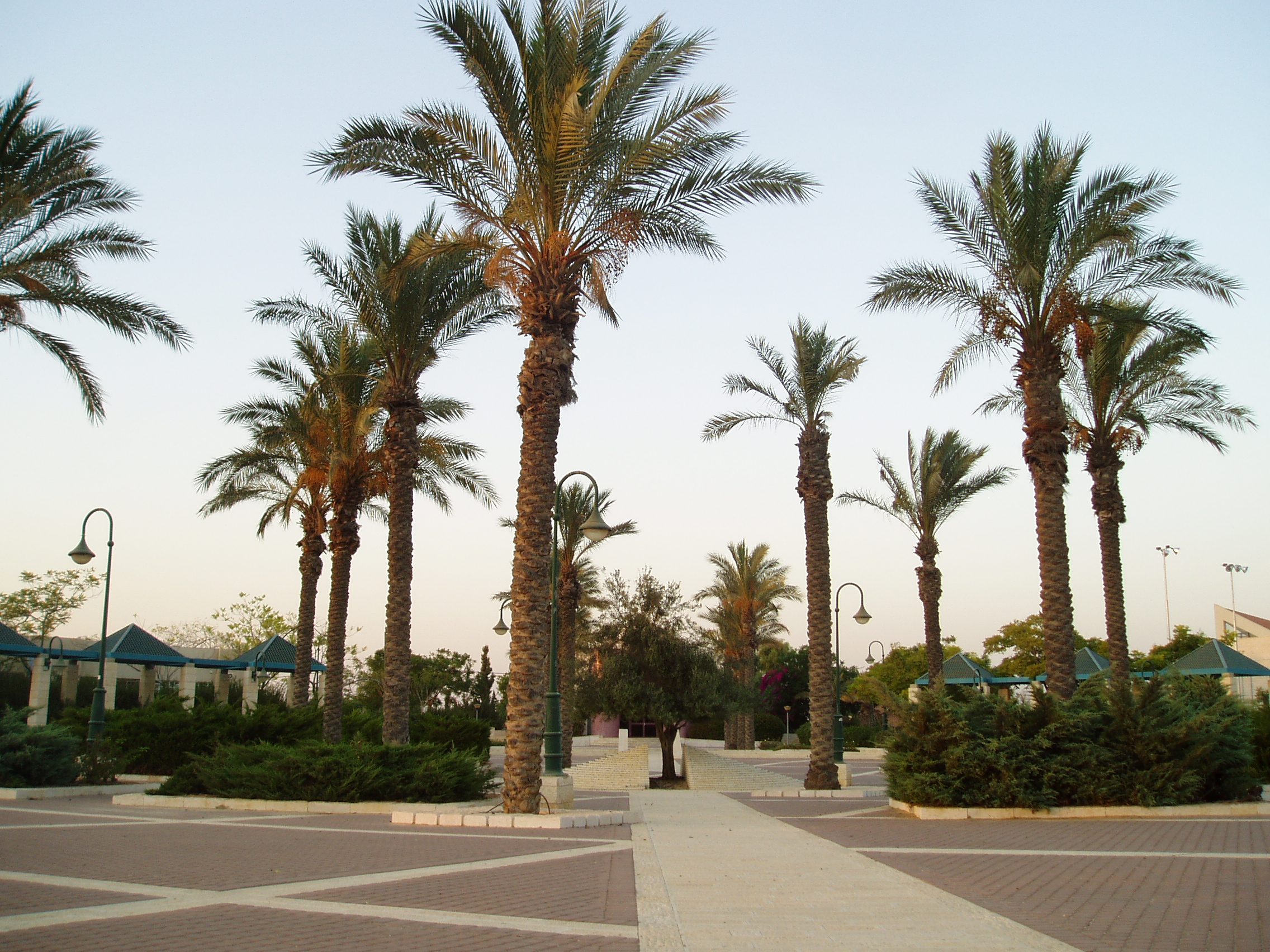
imgsize=250
hebname=Hebrew|לְהָבִים
arname=
meaning=
founded=
type=lc
typefrom=
stdHeb=
altOffSp=
altUnoSp=
district=south
population=6,000
popyear=2007
area_dunam=2525
areakm=~2.5
mayor= Eli LeviLehavim ( _he. לְהָבִים) is a town in the Southern District of
Israel , in the northernNegev desert . Founded in 1983, it is located 15km north ofBeersheba and convert|4|km|mi east ofRahat . In 2007, the population was approximately 6,000. [http://www.lehavim.muni.il/About/ מועצה מקומית להבים |Lehavim Local Council - About] ]History
Lehavim, originally called "Givat Lahav," covers an area of 2,525
dunam s (2.5 km²). It is one of Beersheba's three satellite cities (the others two are Omer andMeitar ). Most of the inhabitants commute to Beersheba for work. Lehavim is an upper-middle class community of detached homes surrounded by palm trees and gardens. The town has a library, a country club, kindergartens, schools and a commercial center. Lehavim achieved municipal status in 1988.According to the CBS, Lehavim is one of the wealthiest municipalities in Israel, ranking 9 out of 10 on the socio-economic status of its citizens.Lehavim junction
Lehavim is located near the intersection of Highway 40 (Beer-Sheva —
Tel-Aviv ) and Route 31 (Arad — Rahat), known as the Lehavim Junction. TheLod —Beer-Sheva railway line passes through this crossing. The new local railway station was inaugurated on June 23, 2007.References
External links
* [http://www.lehavim.muni.il/ The local council website]
Wikimedia Foundation. 2010.