- Newbank, Glasgow
-
Coordinates: 55°50′58″N 4°12′04″W / 55.849484°N 4.201036°W
Newbank 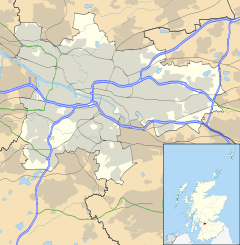
 Newbank
Newbank shown within GlasgowOS grid reference NS623640 Council area Glasgow City Council Lieutenancy area Glasgow Country Scotland Sovereign state United Kingdom Post town GLASGOW Postcode district G31 Dialling code 0141 Police Strathclyde Fire Strathclyde Ambulance Scottish EU Parliament Scotland UK Parliament Glasgow East Scottish Parliament Glasgow Shettleston Glasgow List of places: UK • Scotland • Glasgow Newbank is a district in the east-end of Glasgow , now a settlement of council houses but deriving from an 18th century estate of that name. Newbank House has left no remains, but there is a fine red-sandstone 19th century Newbank Primary School in Springfield Road. In Glasgow, the Newbank area is thought of as a 'tough' neighbourhood, with a history tarnished with gang violence.
Many residents of Newbank would consider themselves residents of Tollcross or Parkhead, but they have been officially placed within the Braidfauld Ward of Glasgow City Council.
Categories:- Districts of Glasgow
- Glasgow geography stubs

Wikimedia Foundation. 2010.