- Mille Lacs Kathio State Park
-
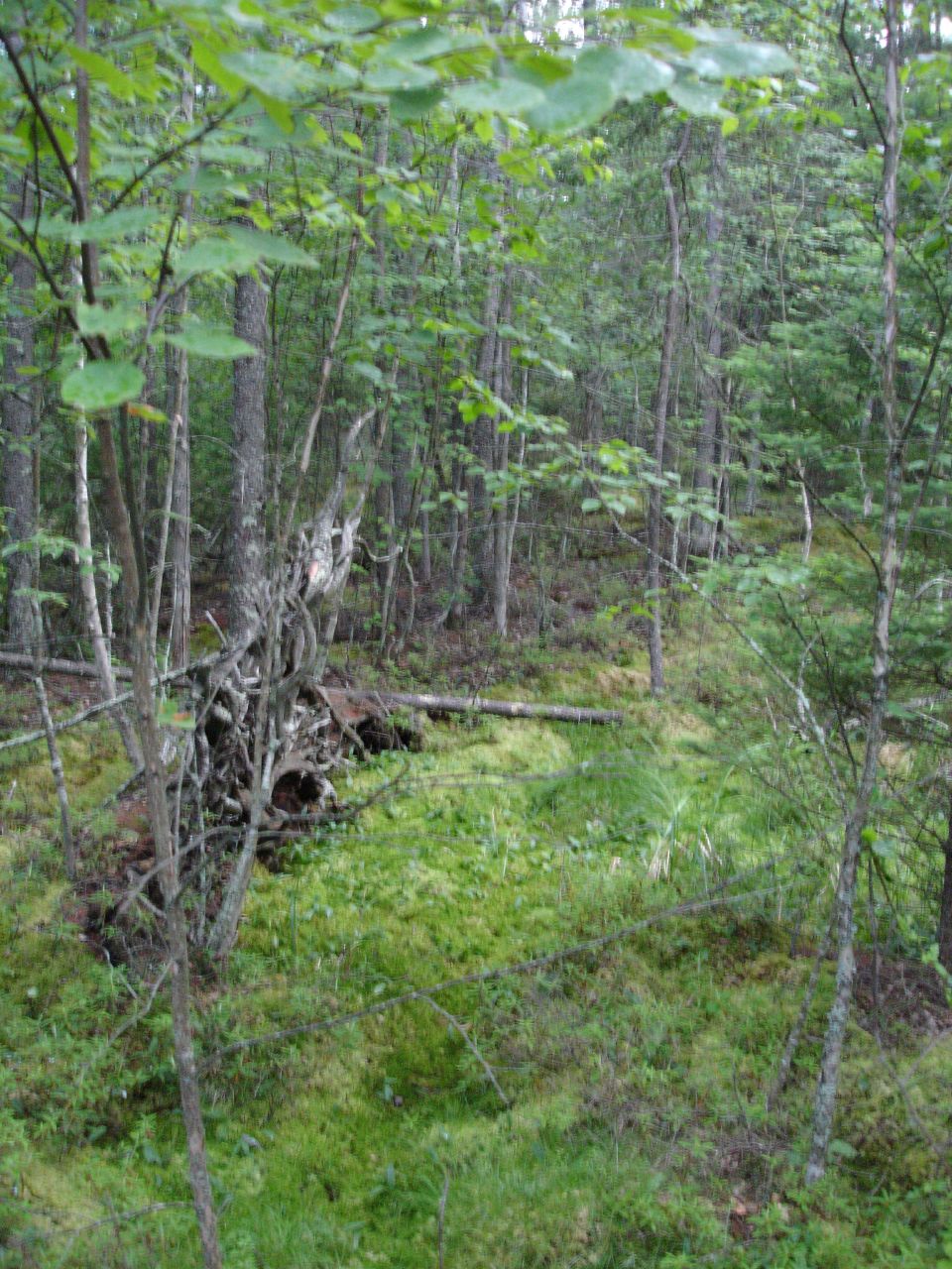
Kathio Site
 Burial Mounds #1 and #2
Location: Mille Lacs County, Minnesota Nearest city: Vineland, Minnesota Governing body: State NRHP Reference#: 66000403 Significant dates Added to NRHP: October 15, 1966[1] Designated NHLD: July 19, 1964[2] Coordinates: 46°07′44″N 93°44′26″W / 46.1288485°N 93.7405269°W Mille Lacs Kathio State Park, also known as Kathio Site, is a Minnesota state park on Mille Lacs Lake. The park preserves habitation sites and mound groups, believed to date between 3000 BC and 1750 AD, that document Sioux Indian culture and Ojibwe-Sioux relationships. The park contains 19 identified archaeological sites, making it one of the most significant archaeological collections in Minnesota. The earliest site dates to the Archaic period and shows evidence of copper tool manufacture. The Sioux lived in this area roughly until the 18th century, when many bands of Sioux were moving southward into the prairies and river areas of southern Minnesota. At the same time, Ojibwe were moving in from the east. Ojibwe oral tradition suggests that there was a battle in which they successfully took control of the area from the Sioux, but no archaeological evidence has been found for this. Around the time of contact in the 1850s, loggers came to the area. The next 50 years resulted in a large quantity of trees being felled and floated down the Rum River or across Mille Lacs Lake to sawmills.
The name "Kathio" is actually a corruption of "Izatys", a name the Mdewakanton Sioux people gave themselves. Explorer Daniel Greysolon, Sieur du Lhut visited the area in 1679. He named the area "Izatys", but his poor handwriting led people to mistake the "Iz" as a "K". Further errors led to the name being transliterated to "Kathio".
The Kathio Historic District site was designated a National Historic Landmark in 1964.[2]
-

Entrance sign
-

Kayak Dock
-

Photo taken from boardwalk
References
- ^ "National Register Information System". National Register of Historic Places. National Park Service. 2007-01-23. http://nrhp.focus.nps.gov/natreg/docs/All_Data.html.
- ^ a b "Kathio Site". National Historic Landmark summary listing. National Park Service. http://tps.cr.nps.gov/nhl/detail.cfm?ResourceId=280&ResourceType=District. Retrieved 2007-11-15.
- Nord, Mary Ann (2003). The National Register of Historic Places in Minnesota: A Guide. St. Paul, Minnesota: Minnesota Historical Society Press.
External links
National Historic Landmarks in Minnesota Landmark homes Landmark commercial enterprises Military landmark New Deal landmarks Prehistoric landmarks Grand Mound | Kathio Site
Lighthouse Split Rock Lighthouse
U.S. National Register of Historic Places Topics Lists by states Alabama • Alaska • Arizona • Arkansas • California • Colorado • Connecticut • Delaware • Florida • Georgia • Hawaii • Idaho • Illinois • Indiana • Iowa • Kansas • Kentucky • Louisiana • Maine • Maryland • Massachusetts • Michigan • Minnesota • Mississippi • Missouri • Montana • Nebraska • Nevada • New Hampshire • New Jersey • New Mexico • New York • North Carolina • North Dakota • Ohio • Oklahoma • Oregon • Pennsylvania • Rhode Island • South Carolina • South Dakota • Tennessee • Texas • Utah • Vermont • Virginia • Washington • West Virginia • Wisconsin • WyomingLists by territories Lists by associated states Other Categories:- Historic districts in Minnesota
- Minnesota state parks
- Protected areas of Mille Lacs County, Minnesota
- National Historic Landmarks in Minnesota
- IUCN Category V
- Native American archeology
- Native American history of Minnesota
-


Wikimedia Foundation. 2010.