- Marwayne, Alberta
-
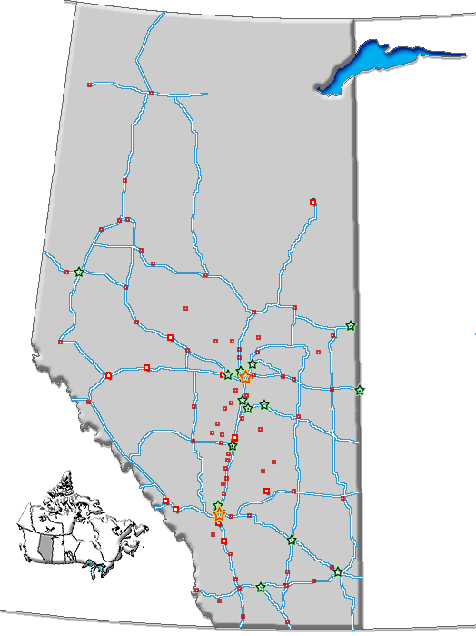
Marwayne — Village — Village of Marwayne Location of Marwayne in Alberta

Coordinates: 53°30′58″N 110°19′31″W / 53.51611°N 110.32528°W Country  Canada
Province  Alberta
Region Central Alberta Census Division No. 10 Municipal district County of Vermilion River Government – Mayor Jenelle Saskiw – Governing body Marwayne Village Council Area – Total 1.15 km2 (0.4 sq mi) Elevation 600 m (1,969 ft) Population (2006)[1] – Total 516 Time zone MST (UTC-7) Highways 45
897Website Village of Marwayne Marwayne is a village in central Alberta, Canada. It is located 44 kilometres (27 mi) north-west of the city of Lloydminster and 21 kilometres (13 mi) west of the Saskatchewan border.
Marwayne lies at the intersection between Highway 45 and Highway 897. The Canadian Pacific Railway runs through the village. The economy is based on agriculture and ranching, with the oil and gas sector playing an important part as well.
Contents
Demographics
The population of the Village of Marwayne according to its 2007 municipal census is 569.[2]
In 2006, Marwayne had a population of 516 living in 225 dwellings, a 4.2% increase from 2001. The village has a land area of 1.15 square kilometres (0.44 sq mi) and a population density of 448.4 /km2 (1,161 /sq mi).[1]
See also
- List of communities in Alberta
- List of villages in Alberta
References
- ^ a b Statistics Canada (Census 2006). "Marwayne - Community Profile". http://www12.statcan.ca/english/census06/data/profiles/community/Details/Page.cfm?Lang=E&Geo1=CSD&Code1=4810044&Geo2=PR&Code2=48&Data=Count&SearchText=Marwayne&SearchType=Begins&SearchPR=01&B1=All&GeoLevel=&GeoCode=4810044. Retrieved 2007-06-08.
- ^ Alberta Municipal Affairs (2009-09-15). "Alberta 2009 Official Population List". http://municipalaffairs.gov.ab.ca/documents/LGS/2009pop.pdf. Retrieved 2010-09-12.
External links
Coordinates: 53°31′N 110°20′W / 53.517°N 110.333°W
Categories:- Villages in Alberta
- Central Alberta geography stubs
Wikimedia Foundation. 2010.