- Maryland Route 537
-
Maryland Route 537
Basil Avenue, George Street, Lock Street 
Route information Maintained by MDSHA Length: 0.80 mi[1] (1.29 km)
MD 537B: 0.06 miles (0.097 km)
MD 537C: 0.49 miles (0.79 km)
MD 537D: 0.25 miles (0.40 km)Major junctions South end:  MD 213 in Chesapeake City
 MD 342 in Chesapeake City
 MD 286 in Chesapeake City
North end:  MD 285 in Chesapeake City
Location Counties: Cecil Highway system Maryland highway system
Interstate • US • State • Minor • Former • Turnpikes←  MD 535
MD 542  →
→Maryland Route 537 is an unsigned state highway in Cecil County, Maryland running through Chesapeake City. The highway is divided into three segments, all of which are designated with a lettered suffix. A piece of Maryland 537 begins as a branch from Maryland 284 in Chesapeake City, continuing as Lock Street southward through the city past Maryland 285, and stopping at Bank Street and the Chesapeake and Delaware Canal. Across the canal, the route picks up again in the same direction as George Street, crossing Maryland 286, and then ending at the Augustine Herman Highway (Maryland 213). Maryland Route 537 used to cross MD 213 and parallel it along Basil Road before rejoining it; however, this section has been removed from the state highway system.
Maryland 537 is the original route of Maryland 213 through Chesapeake City, which was diverted when a different site was found for a high bridge across the canal. The current bridge on Maryland 213 was opened in 1949 after the earlier vertical lift bridge connecting George Street with Lock Street was destroyed in an accident with the tanker Franz Klasen in 1942.
Contents
Route description
 Maryland Route 537D from Maryland Route 537C in Chesapeake City
MD 537A and D
Originally, Maryland Route 537 extended down to near the Chesapeake City city limits along Route 537A. The highway began at an intersection with Maryland Route 213 in Chesapeake City. The highway went northward along Basil Avenue, paralleling the Chesapeake and Delaware Canal for its entire length. At the interchange with Route 213 (as it approached the Chesapeake City Bridge) in Chesapeake City, the 537A designation ended, and the highway currently continues as Maryland Route 537D.[2]
Maryland Route 537D, after the off-ramp from Maryland 213, continues the right-of-way of Basil Avenue and heads under the Chesapeake City Bridge, which towers above. A short distance after the bridge, Route 537D terminates at an intersection Route 537C (George Street), another segment of Maryland Route 537.[3]
MD 537B and C
Maryland Route 537C begins at the same interchange where Maryland Route 537D had begun to the west. The highway progresses to the northeast along George Street, paralleling to the east of Maryland Route 213. After a short distance, the highway enters the city and intersects with the northern terminus of Maryland Route 537D. The highway continues to the northeast, intersects with the northern terminus of Maryland Route 342. After that intersection, the highway heads into the downtown part of the city. It intersects with 4th Street, a one-way highway and provides as the eastern terminus of Maryland Route 286, locally known as 2nd Street. A short distance after the intersection with Route 286, Route 537C terminates at the Chesapeake and Delaware Canal.[4]
 Maryland Route 537C and Maryland Route 213 in Chesapeake City
Across the canal, Lock Street begins at the location of the former locks along the Canal in Chesapeake City. The locally street, designated as Maryland Route 537B heads northward through the residential district and terminates at Maryland Route 285 (Lock Street and Biddle Street) in Chesapeake City.[5]
History
When Maryland's state highway system was created, the alignment of Maryland Route 537B and Maryland Route 537C, along with nearby Route 285, was originally an alignment of U.S. Route 213. The bridge over the Chesapeake and Delaware Canal, which carried the alignment of U.S. Route 213, was destroyed when a tanker, Franz Klasen, collided with it in 1942.[6] U.S. Route 213 was kept on the alignment for seven years, until 1949, when the current-day Chesapeake City Bridge was constructed and Route 213 was realigned onto it.[7] The highway was later re-designated as Maryland Routes 537B and 537C.[1]
Junction list
MD 537A
The entire route was in Chesapeake City, Cecil County.
Mile[1] Destinations Notes 0.00 MD 213 (Augustine Herman Highway) MD 213 (Augustine Herman Highway)Southern terminus of MD 537D. 1.000 mi = 1.609 km; 1.000 km = 0.621 mi MD 537B
The entire route is in Chesapeake City, Cecil County.
Mile[1] Destinations Notes 0.00 Former state locks 0.06 MD 285 (Biddle Street)1.000 mi = 1.609 km; 1.000 km = 0.621 mi MD 537C
The entire route is in Chesapeake City, Cecil County.
Mile[1] Destinations Notes 0.00 MD 213 (Augustine Herman Highway)0.49 End of highway at Canal 1.000 mi = 1.609 km; 1.000 km = 0.621 mi MD 537D
The entire route is in Chesapeake City, Cecil County.
Mile[1] Destinations Notes 0.00 MD 213 (Augustine Herman Highway)Northern terminus of MD Route 537D 0.25  MD 537 (Augustine Herman Highway)
1.000 mi = 1.609 km; 1.000 km = 0.621 mi See also
- Chesapeake City Website with a photo of the destruction of the Route 213 bridge.
References
- ^ a b c d e f "Cecil County". Maryland State Highway Administration. Maryland State Highway Administration. December 31, 2007. pp. 82. http://apps.roads.maryland.gov/KeepingCurrent/performTrafficStudies/dataAndStats/hwyLocationRef/2007_hlr_all/co07.pdf. Retrieved May 6, 2009.
- ^ Yahoo! Inc. Yahoo! Maps – overview map of Maryland Route 537A (Map). Cartography by NAVTEQ. http://maps.yahoo.com/#mvt=m&lat=39.521223&lon=-75.817897&zoom=18&q1=39.522828%2C-75.818015&w0=39.516573218604734%2C-75.8248602805175%3B39.51458627142498%2C-75.82634925842285&q2=39.511911%2C-75.827274. Retrieved May 6, 2009.
- ^ Yahoo! Inc. Yahoo! Maps – overview map of Maryland Route 537D (Map). Cartography by NAVTEQ. http://maps.yahoo.com/#mvt=m&lat=39.523672&lon=-75.813316&zoom=18&q1=39.522952%2C-75.817887&q2=39.523813%2C-75.816299. Retrieved May 6, 2009.
- ^ Yahoo! Inc. Yahoo! Maps – overview map of Maryland Route 537C (Map). Cartography by NAVTEQ. http://maps.yahoo.com/#mvt=m&lat=39.526925&lon=-75.812211&zoom=18&q1=39.52258%2C-75.816588&q2=39.527777%2C-75.812769. Retrieved May 6, 2009.
- ^ Yahoo! Inc. Yahoo! Maps – overview map of Maryland Route 537B (Map). Cartography by NAVTEQ. http://maps.yahoo.com/#mvt=m&lat=39.530293&lon=-75.810816&zoom=18&q1=39.52997%2C-75.810913&q2=39.530508%2C-75.810602. Retrieved May 6, 2009.
- ^ "About Chesapeake City, Maryland". Chesapeake City, Maryland. Chesapeake City, Maryland. 2009. pp. 1. Archived from the original on June 7, 2008. http://web.archive.org/web/20080607170229/http://www.chesapeakecity.com/about.htm. Retrieved May 6, 2009.
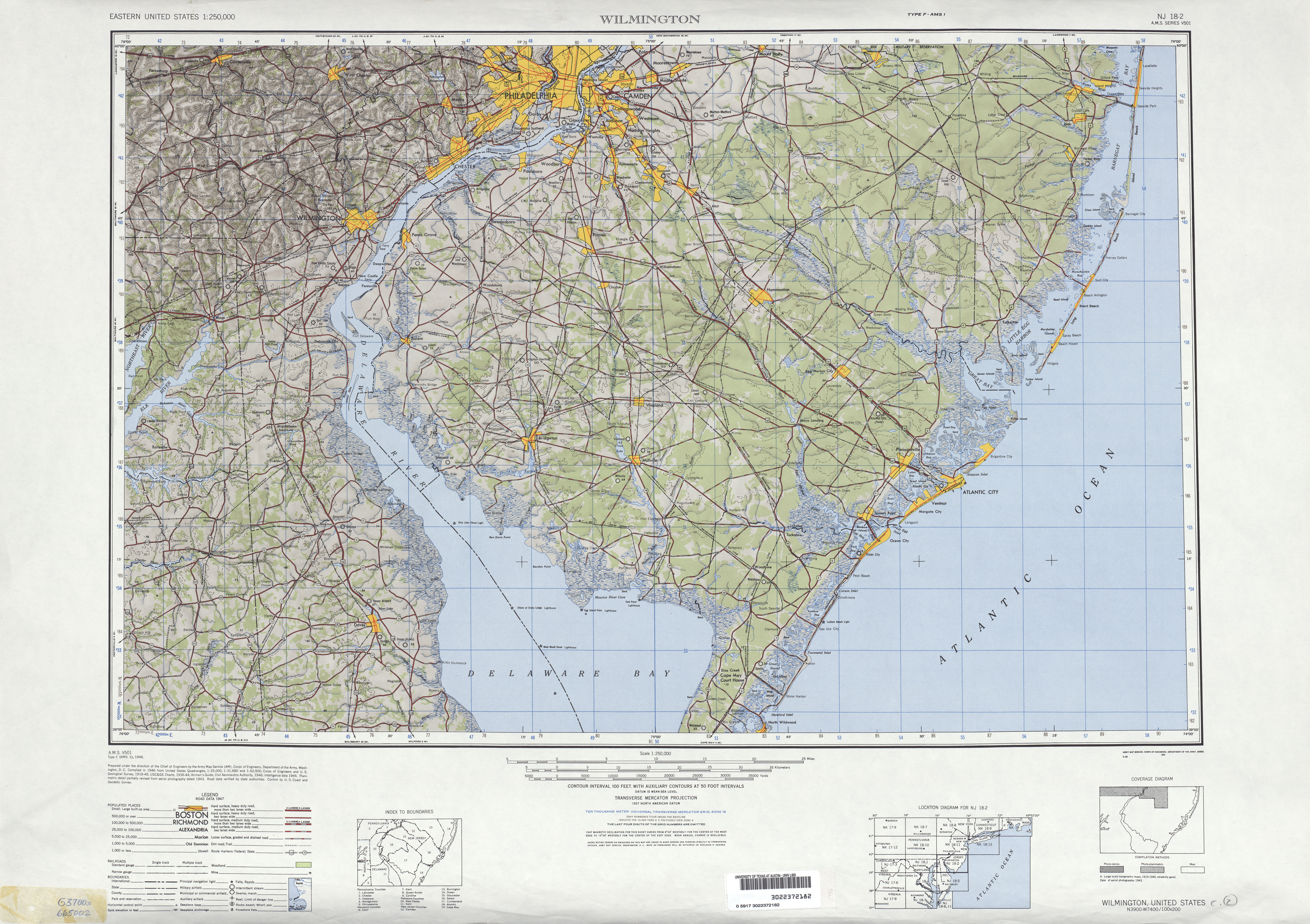
- ^ United States Geological Survey (1946). Wilmington, Delaware 1:250,000 quadrangle (Map). http://www.lib.utexas.edu/maps/topo/250k/txu-pclmaps-topo-us-wilmington-1946.jpg. Retrieved March 28, 2009.
External links
Roads in Cecil County, Maryland State highways 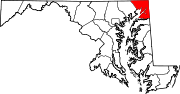
U.S. Highways Interstate Highways Categories:- State highways in Maryland
- Roads in Cecil County, Maryland


Wikimedia Foundation. 2010.