- Forest Hill, Toronto
Infobox City
official_name = Forest Hill
subdivision_type2 = Country
subdivision_name2 =Canada
subdivision_type1 = Province
subdivision_name1 =Ontario
subdivision_type = City
subdivision_name =Toronto 
mapsize=150px
map_caption=Location of Forest Hill North (blue) and Forest Hill South (green) within Toronto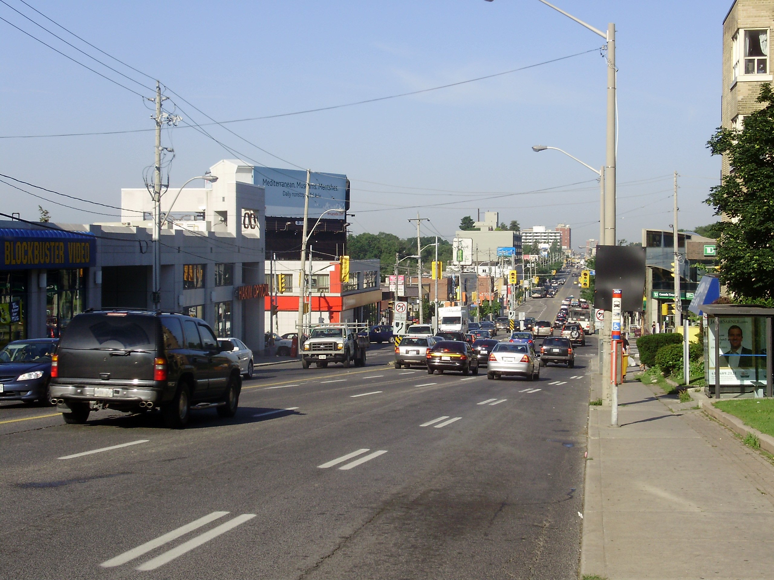
image_caption=Eglinton Avenue West divides the neighbourhoods of Forest Hill North and Forest Hill South
established_title = Incorporated
established_date = 1923
established_title1 = Annexed
established_date1 = 1967 to City of TorontoForest Hill is an affluent neighbourhood in central
Toronto ,Ontario ,Canada . Along withRosedale andThe Bridle Path , it is considered to be one of Toronto’s wealthiest neighbourhoods.It was originally incorporated as a
village in 1923, and later annexed by the City of Toronto in 1967, along with the Village of Swansea. The village was named after the summer home ofJohn Wickson ; previously it had been known as Spadina Heights (a name that continued to be applied to the neighbourhood into the twentieth century).Its original boundaries were Bathurst Street to the west,
Upper Canada College to the east, Eglinton Avenue to the north, and Lonsdale Road and a portion of Montclair Avenue to the south (the original boundaries of School Section 30). Neighbourhoods north of Eglinton are sometimes though not unanimously regarded as Forest Hill.Currently, for the purposes of social policy analysis & research, the city of Toronto’s Social Development & Administration division divides Forest Hill into two neighbourhoods: Forest Hill North and Forest Hill South.
Forest Hill North extends from Briar Hill Avenue in the north to Eglinton Avenue West in the south, and from Latimer Avenue in the east to Allen Road and Fairleigh Crescent in the north-west and south-west, respectively. For administrative purposes, Forest Hill North is Toronto neighbourhood #102. Politically, the residents of Forest Hill North are represented either in the Eglinton-Lawrence ward or in the St. Paul’s (west) ward. (http://www.toronto.ca/demographics/cns_profiles/cns102.htm)
As the name would imply, Forest Hill South is directly south of Forest Hill North. It extends from Eglinton Ave West in the north to Tichester Road in the south, and from Bathurst Street in the west to Elmsthorpe Road in the northeast and Avenue Road and the Oriole Parkway in the east. There is an additional stretch of Forest Hill South between Bathurst Street and Spadina Road, north of Lonsdale Road. The city of Toronto counts Forest Hill South as neighbourhood #101. The residents of Forest Hill South are represented in either the St. Paul’s (west) ward or the St. Paul’s (east) ward. (http://www.toronto.ca/demographics/cns_profiles/cns101.htm)
Forest Hill Village is a part of Forest Hill occupying most of the original area of the village. The Village extends roughly from Briar Hill Avenue in the north (the Upper Village, officially part of [http://www.toronto.ca/demographics/cns_profiles/cns102.htm Forest Hill North] ) to Heath Street in the south (the Lower Village, officially the major part of [http://www.toronto.ca/demographics/cns_profiles/cns101.htm Forest Hill South] along Spadina Road between Bathurst Street/Cedarvale Ravine (whichever is further east) and Avenue Road. The designations "Upper" and "Lower" are based on height of land and not on positions on a map or along a watercourse.
The Lower Village is known for its upscale shopping and dining, although the actual mix of stores includes several modest enterprises. The Lower Village has attracted extensive residential development (especially of apartments), both within the original boundaries of Forest Hill and in adjacent neighbourhoods to which developers have now extended the Village and Forest Hill names.
Although the population of Forest Hill is lacking in diversity (the results of the 2001 census showed that 90% of the population was white), visible minorities are steadily moving into this neighbourhood. (http://www.blogto.com/foresthill)
Prior to World War II, Forest Hill's population was predominantly made up of wealthy Anglo-Protestants. During the 1940s and 1950s, many upwardly mobile Jews moved from the Spadina area of Toronto into Forest Hill. Forest Hill has many businesses catering to the Jewish community along Eglinton Avenue. Today, Jews make up about half of the population of Forest Hill, according to the 2001 censusFact|date=September 2007.
External Links
* [http://www.toronto.ca/demographics/cns_profiles/cns102.htm City of Toronto - Forest Hill North Neighbourhood Profile]
* [http://www.toronto.ca/demographics/cns_profiles/cns101.htm City of Toronto - Forest Hill South Neighbourhood Profile]Toronto Neighbourhood Geography
North=Englemount-Lawrence , Bedford Park-Nortown
East=Lawrence Park South , Yonge-Eglinton, Yonge-St. Clair
South=Casa Loma
West=Humewood-Cedarvale ,Briar Hill-Belgravia
Center=Forest Hill
width=88
Wikimedia Foundation. 2010.