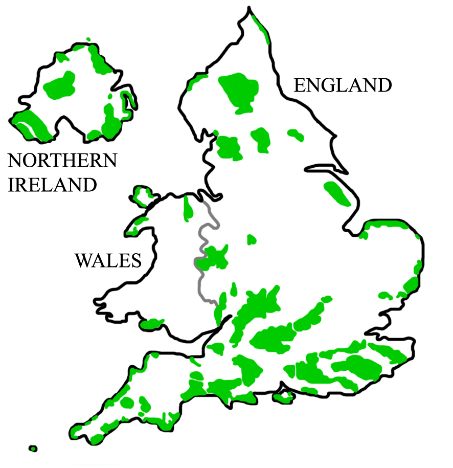
- Dedham Vale
-
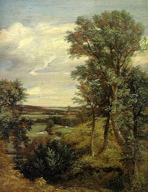
Dedham Vale Area of Outstanding Natural Beauty  Constable's Dedham Vale of 1802
Country England County Essex, Suffolk Location East Anglia Geology Chalk Cretaceous London Clay Plant black poplar Animal barn owl, dormouse, great crested newt, otter, skylark, water vole, Dedham Vale is a designated Area of Outstanding Natural Beauty on the Essex-Suffolk border in east England. It comprises the area around the River Stour between Manningtree and Bures, including the village of Dedham in Essex. It is part of the area known since the artist's lifetime as Constable Country, as it was made famous by the paintings of John Constable. Among many other works of the area is Dedham Vale 1802 in the Victoria and Albert Museum in London.
Contents
Land use
It supports a viable and diverse agriculture with a mix of farm sizes. The majority of the land in the valley is still farmed despite development pressures. Farming is the primary tool for supporting the area’s landscape and wildlife.
Geology
Throughout the valley Eocene and glacial deposits overlay chalk deposited during the Cretaceous period. London Clay and sands are often exposed on the valley sides as the river and its tributaries cut through the deposits. The composition of these layers and where they occur is paramount in determining what species will grow, which habitats can occur and how the area is farmed.
River
The river is the key landscape focus for the valley, its course is defined by bank side trees and wet meadows. It supports a variety of riparian (river) habitats.
The valley floor has a large areas of functioning floodplain. Water quality is good, meeting levels demanded in regulations. The catchment meets sustainable demands for water supply, flood control and recreational use, whilst retaining an unspoilt character and healthy ecosystem.
The river has become an important method of controlling water levels both in the surrounding countryside and irrigating crops.
Human influence
Humans have had a great influence on the landscape including building isolated settlements, transport links and churches. Agricultural workers divided up the land to plant crops, grow timber and graze animals.
The landscape continues to change as changing agricultural practices, increased leisure time and an awareness of environmental concerns all contribute to development of the Stour valley.
External links
- Dedham Vale AONB and Stour Valley Countryside Project
- Dedham Vale in Web Gallery of Art
- Dedham Vale Society
East of England Dedham Vale | Norfolk Coast | Suffolk Coast and Heaths
East Midlands North East North West South East South West West Midlands Yorkshire and Humber Categories:- Geography of Essex
- Geography of Suffolk
- John Constable paintings
- Protected areas of Essex
- Protected areas of Suffolk
Wikimedia Foundation. 2010.