- Rehetobel
Infobox Swiss town
subject_name = Rehetobel
municipality_name = Rehetobel
municipality_type = municipality
imagepath_coa = |pixel_coa=
languages = German
canton = Appenzell Ausserrhoden
iso-code-region = CH-AR
district = n.a.
lat_d=47|lat_m=25|lat_NS=N|long_d=9|long_m=29|long_EW=E
postal_code = 9038
municipality_code = 3034
area = 6.75
elevation = 958|elevation_description=
population = 1744|populationof = January 2004 | popofyear = 2004
website = www.rehetobel.ch
mayor = |mayor_asof=|mayor_party=
mayor_title = |list_of_mayors =
places =
demonym =
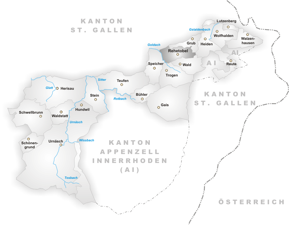
neighboring_municipalities=Eggersriet (SG), Grub, Heiden, Speicher,Trogen , Wald
twintowns = |Rehetobel is a municipality in the canton of
Appenzell Ausserrhoden inSwitzerland . It has a population of 1,700 (2002 ). The area of Rehetobel is 7 km².Geography
Rehetobel is located south of the mountain "Gupf". On average the village enjoys the longest hours of sunshine in Switzerland. The lowest elevation is "Achmüli" (610 m), the highest is "Kaienspitz" (1121 m).
History
The area was settled in the 12th and 13th century. The name "Rehentobel" was first mentioned in
1463 . In1669 the church was built, which meant independence from the village ofTrogen . The church was rebuilt in1737 .The village was destroyed in a fire on
9 April 1796 . The church was saved, but a total of 20 buildings were destroyed. In1854 a house for the poor was established. It is today used as a nursery.On
28 June 1890 the church was destroyed in a fire, but by1892 a new church was built.Economy
There are approximately 700 working places in the village. Trade and industry make up 40%, agriculture 9%, and the service sector employs 51%. Agriculture consists of dairy farming and cattle breeding.
External links
* [http://www.rehetobel.ch Official Page] (German)
Wikimedia Foundation. 2010.