- Donaghmore, County Tyrone
-
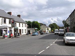 Donaghmore main street
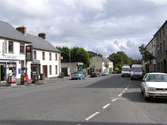
Donaghmore (pronounced doh-na-mor, from Irish: Domhnach Mór, meaning "big church")[1] is a village and townland in County Tyrone, Northern Ireland, about five kilometres (3 mi) northwest of Dungannon. In the 2001 Census it had a population of 947 people. The village is beside the River Torrent, formerly known as the Torrent Flow.[2]
Contents
History
The Troubles
For more information see The Troubles in Donaghmore, which includes a list of incidents in Donaghmore during the Troubles resulting in two or more fatalities.
Demographics
Donaghmore is classified as a Small Village by the NI Statistics and Research Agency (NISRA) (ie with population between 500 and 1,000 people). On Census day (29 April 2001) there were 947 people living in Donaghmore. Of these:
- 26.0% were aged under 16 years and 14.3% were aged 60 and over
- 46.6% of the population were male and 53.4% were female
- 89.2% were from a Catholic background and 10.4% were from a Protestant background
For more details see: NI Neighbourhood Information Service
Places of interest
- Donaghmore Heritage Centre is a converted National School (1885) which preserves photographs, old school roll books, land registration ledgers, documents and artefacts of local interest.
- The Brewer's House is a gastropub that opened in September 2011 serving excellent food and a wide array of ales and wines.
- The village also features a High Cross which is six metres tall and is one of Ulster's finest Early Christian monuments. Donaghmore High Cross probably dates from the 10th century and is said to have been thrown down in the 17th century and re-erected in the 18th century.
- A stone pillar stands in the old churchyard to the memory of Hugh O'Neill, 3rd Earl of Tyrone, erected by one of his descendants.
- The Bardic Theatre was formed in 1982 and after a number of years on the drama festival circuit, the group now stages classic plays, major musicals, comedies, experimental work and new writing at its own theatre on the edge of the village. Other unofficial performances are held routinely in Kieran McCauslands low public bar. The Bardic has recently done performances of High School Musical, Buddy Holly, and Jesus Christ Superstar.
- The Rotharlann is unused currently, but it was busy in its heyday in the mid 1980s. Used mainly by the local cyclists, it also hosted discos that attracted youngsters from all over the country and was a local hot spot for "other" activities. A small campaign is gathering momentum to get the hall restored to its former glories.
Famous locals
- Malachi Cush, singer
- Robin Jackson, former commander of the Ulster Volunteer Force's Mid-Ulster brigade
- Niall McGinn, winger for Celtic and Northern Ireland
Sport
- Donaghmore St. Patrick's is the local Gaelic Athletic Association club.
- St Joseph's Grammar School currently compete at Nolan Cup level in College GAA. They won the competition in 2010, progressing all the way to the semi final of the All Ireland series where they were beaten by Gortner Abbey, Crossmolina.
- Donaghmore F.C. is the local football club and play in the Mid-Ulster Division 4
See also
- Abbeys and priories in Northern Ireland (County Tyrone)
- List of towns in Northern Ireland
- List of villages in Northern Ireland
References
- ^ Placenames Database of Ireland
- ^ "Donaghmore Area Profile". Donaghmore Living History. http://www.donaghmorelivinghistory.com/area_profile.htm. Retrieved 1 March 2009.
External links
- Discover Northern Ireland
- A Flavour of Tyrone
- Donaghmore High Cross
- Donaghmore Gaelic Football Club
- Donaghmore Living History
- Donaghmore
Categories:- Villages in County Tyrone
Wikimedia Foundation. 2010.