- River Dyfi
Geobox|River
name = River Dyfi
native_name = Afon Dyfi
other_name =
other_name1 =
image_size =
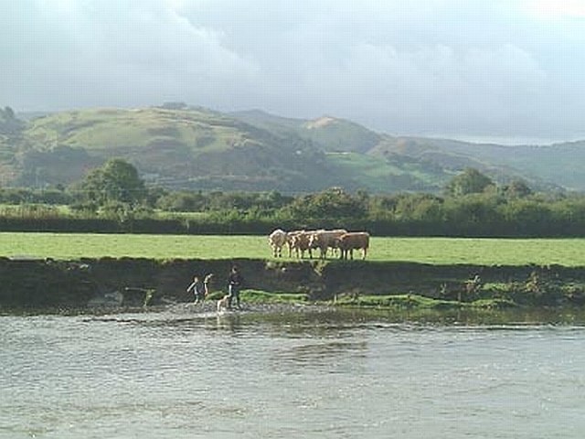
image_caption = The Afon Dyfi north of Machynlleth
etymology =
country = Wales | country_
country1 =
state =
state1 =
region =
region1 =
district =
district1 =
city =
city1 =
landmark =
landmark1 =
length =
watershed =
discharge_location =
discharge =
discharge_max =
discharge_min =
discharge1_location =
discharge1 =
source_name =Creiglyn Dyfi
source_location =
source_district =
source_region =
source_state =
source_country =
source_lat_d =
source_lat_m =
source_lat_s =
source_lat_NS =
source_long_d =
source_long_m =
source_long_s =
source_long_EW =
source_elevation_imperial = 1900
source_length =
mouth_name =
mouth_location =Irish Sea
mouth_district =
mouth_region =
mouth_state =
mouth_country =
mouth_lat_d =
mouth_lat_m =
mouth_lat_s =
mouth_lat_NS =
mouth_long_d =
mouth_long_m =
mouth_long_s =
mouth_long_EW =
mouth_elevation =
tributary_left =
tributary_left1 =
tributary_right =
tributary_right1 =
free_name =
free_value =
map_size =
map_caption =The River Dyfi ("Afon Dyfi" in Welsh) (also known in English as the River Dovey) is a
river in midWales .Source
It rises in the small
lake Creiglyn Dyfi at about convert|1900|ft|m|sigfig=2 abovesea level , belowAran Fawddwy , flowing south toDinas Mawddwy andCemmaes Road , then south west pastMachynlleth toCardigan Bay atAberdyfi . It shares its watershed with theRiver Severn and the River Dee before flowing generally south-westwards down to a wide estuary. The only large town on its route is Machynlleth.Because of its origins high in the
Cambrian Mountains and its relatively short length, it is prone to flooding and some roads in the lower catchment can become impassable during very wet weather. It is a relatively pristine river with few polluting inputs and is notable for itsSalmon andBrown Trout .The catchment area was notable for its now defunct lead mines and
slate quarries, especially aroundCorris andDinas Mawddwy .Tributaries
The Dyfi is joined by the :
* Twymyn above
Cemmaes Road (Glantwymyn)
* South Dulas aboveMachynlleth
* North Dulas atFfridd Gate
* Llyfnant atGlandyfi .ee also
*
Dyfi Valley Way External links
* [http://website.lineone.net/~dyfival1/dyfigeognotes.htm Detailed description]

Wikimedia Foundation. 2010.