- Salento, Quindío
Infobox City
official_name = Salento
nickname =
motto =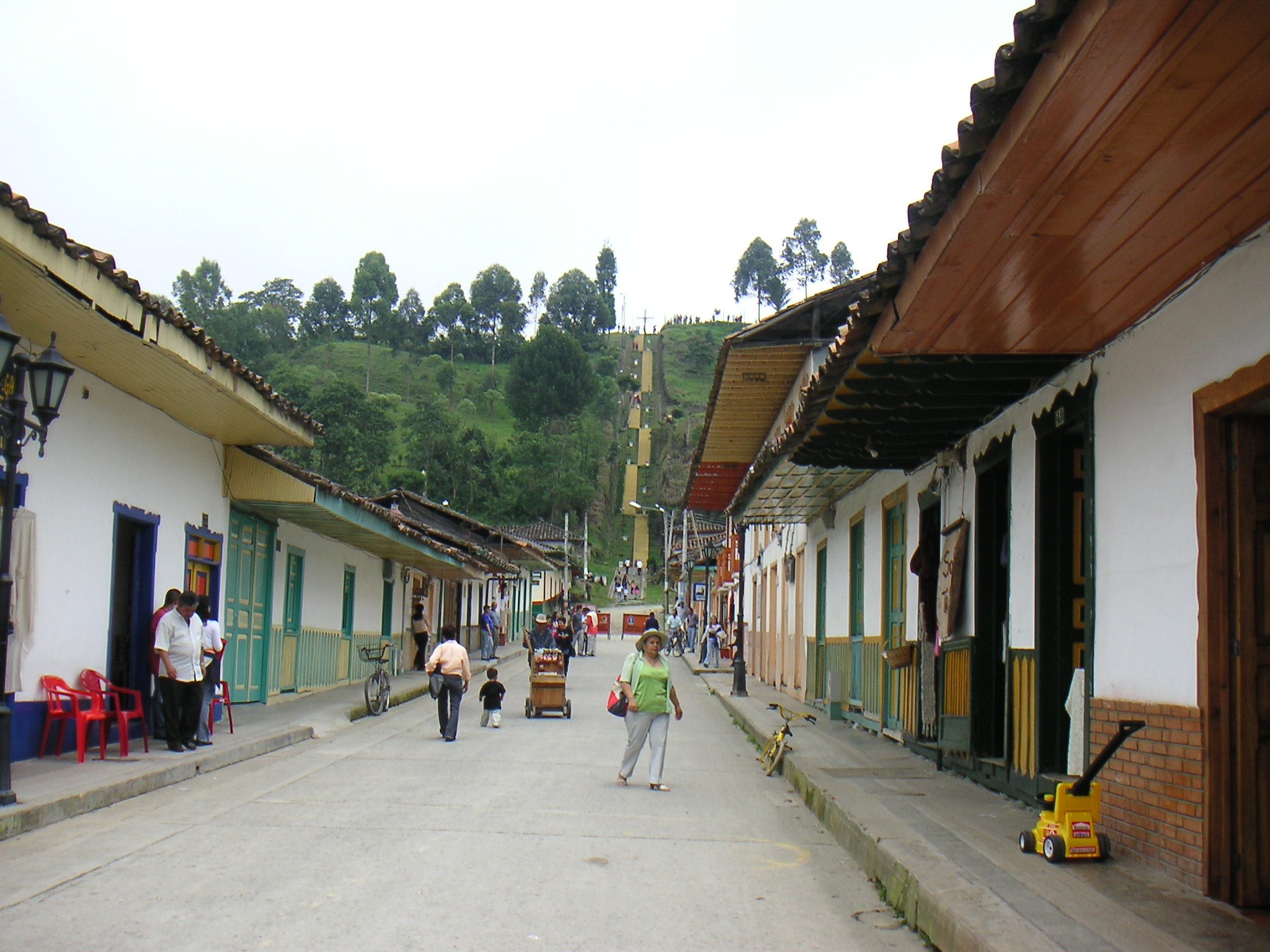
imagesize = 200px
image_caption = View of the streets on Salento, Quindio
image_
mapsize = 200px
map_caption = Location map of the municipality and town of Salento in the Department of Quindio.
subdivision_type =Colombia
subdivision_type = Region
subdivision_type1 = Department
subdivision_name = Andean
subdivision_name1 = Department of Quindio
leader_title =Mayor
leader_name =
established_title = Founded
established_date =January 5 ,1851
area_magnitude =
area_total_sq_mi =
area_total_km2 =
area_land_sq_mi =
area_land_km2 =
area_water_sq_mi =
area_water_km2 =
area_water_percent =
area_urban_sq_mi =
area_urban_km2 =
area_metro_sq_mi =
area_metro_km2 =
population_as_of =
population_note =
population_total = 8500
population_metro =
population_urban =
population_density_km2 =
population_density_sq_mi =
timezone =
utc_offset = -5
timezone_DST =
utc_offset_DST =
latd= |latm= |lats= |latN=
longd= |longm= |longs= |longW=
elevation_m =
elevation_ft =
website =
footnotes =Salento is a municipality in the northeastern part of the department of Quindío,
Colombia . It was the first settlement in Quindío of the modern era, and the first municipality founded in the department. Salento is located 24 km northeast of the departmental capital Armenia.In
2005 it had an estimated population of 9,400, of which 4,100 live in the main urban zone.Geography
Salento is located in the northeastern corner of the department. It borders the departments of Risaralda (to the north) and Tolima (to the east).
History
In the colonial era, the main route from
Popayán toBogotá travelled over theQuindío Pass , going through the current-day site of Salento. In1830 ,Simón Bolívar travelled the route and, for its poor condition and strategic importance, ordered that it be upgraded. However, work did not start until1842 after the "Guerra de los Supremos". Political prisoners from that war were sent from Panamá, Antioquia and Cauca to upgrade and maintain the road. After completing their sentences they were given a block of land in the region.The site of the penal colony was known as Barcinales, located where Salento is today. However, the main settlement was in
Boquía , where the Boquía Stream joins theQuindío River . Families of the prisoners arrived and built their houses in Boquía and developed farms upstream along the Quindío River in theCocora valley.Sometime around
1854 a flood of the Quindío River destroyed the settlement of Boquía, and the survivors rebuilt their houses in Barcinales. They retained the name Boquía for the new settlement, changing the name of the original to Pueblo Viejo.In1864 a census showed that Boquía had 581 inhabitants. The occupational breakdown comprised: 148 farmers, 2 carpenters, 1 blacksmith, 11 doctors, 1 lawyer, 2 taylors, 4 laborers, 11 merchants and 11 watchmakers.In
1865 Boquía was officially declared a municipality and its name was changed again to Villa de Nueva Salento. The name was given in memory ofSalento , a region ofMagna Grecia in the south ofItaly . This year is considered the official foundation date.Economy
External links
* [http://www.salento.com.co Salento - Paraíso ecológico] . Extensive general and tourist information about Salento (in Spanish).
References
*Loaiza Piedrahita, Oscar (2004), "Los corredores del tiempo: Guía turística por la historia del Quindío". ISBN 958-33-7088-6. Book in Spanish on the history of the municipalities of Quindío until the foundation of the department in 1966. The local history is placed in the context of wider events in Colombia.

Wikimedia Foundation. 2010.