- Myrtle Bank, South Australia
-
Myrtle Bank
Adelaide, South Australia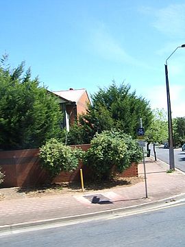
Ferguson Avenue, Myrtle BankPopulation: 2,834 (2006 census)[1]
2,787 (2001 census)[2]Postcode: 5064 Location: 6 km (4 mi) from Adelaide LGA: City of Unley State District: Unley Federal Division: Adelaide Myrtle Bank is a suburb of Adelaide, South Australia in the City of Unley. The suburb is named after a property near the foothills built in 1842 by William Sanders (1801-1880), who arrived in South Australia in 1838. He named the premises 'Myrtle Bank', because his friend James Gall of Trinity living in Edinburgh had a fine property of the same name.[3] During World War I the property became a repatriation hospital.
References
- ^ Australian Bureau of Statistics (25 October 2007). "Myrtle Bank (State Suburb)". 2006 Census QuickStats. http://www.censusdata.abs.gov.au/ABSNavigation/prenav/LocationSearch?collection=Census&period=2006&areacode=SSC42131&producttype=QuickStats&breadcrumb=PL&action=401. Retrieved 2008-07-17.
- ^ Australian Bureau of Statistics (9 March 2006). "Myrtle Bank (State Suburb)". 2001 Census QuickStats. http://www.censusdata.abs.gov.au/ABSNavigation/prenav/LocationSearch?collection=Census&period=2001&areacode=SSC42101&producttype=QuickStats&breadcrumb=PL&action=401. Retrieved 2008-07-18.
- ^ "The Manning Index of South Australian History". State Library of South Australia. http://www.slsa.sa.gov.au/manning/pn/m/m14.htm#myrtleB. Retrieved 2011-08-23.
Coordinates: 34°57′32″S 138°38′10″E / 34.959°S 138.636°E
Suburbs of the City of Unley Black Forest · Clarence Park · Everard Park · Forestville · Fullarton · Goodwood · Highgate · Hyde Park · Kings Park · Malvern · Millswood · Myrtle Bank · Parkside · Unley · Unley Park · WayvilleCategories:- Suburbs of Adelaide
- Adelaide geography stubs

Wikimedia Foundation. 2010.