- Gorkha District
-
Gorkha
गोरखा— District — Location of Gorkha
Country  Nepal
NepalRegion Western (Pashchimanchal) Zone Gandaki Area - Total 3,610 km2 (1,393.8 sq mi) Population (2001) - Total 288,134 - Density 79.8/km2 (206.7/sq mi) Time zone NPT (UTC+5:45) Main language(s) Nepali, Gurung, Magar Gorkha District (Nepali: गोरखा जिल्ला
 Listen (help·info), a part of Gandaki Zone, is one of the seventy-five districts of Nepal, a landlocked country of South Asia, and home of legendary Gurkha soldiers. The district, with Pokharithok, later known as Prithivi Narayan Nagarpalika as its district headquarters, covers an area of 3,610km² and has a population (2001) of 288,134. It is the location of the Manakamana Temple.[citation needed] Also, the temples of great sage Gorakh Nath and goddess Gorakh Kali temple is located in district, after which the district got its name. Four major rivers run within and along it, they are Chepe, Daraudi, Marsyangdi and Budhi Gandaki.
Towns and villages
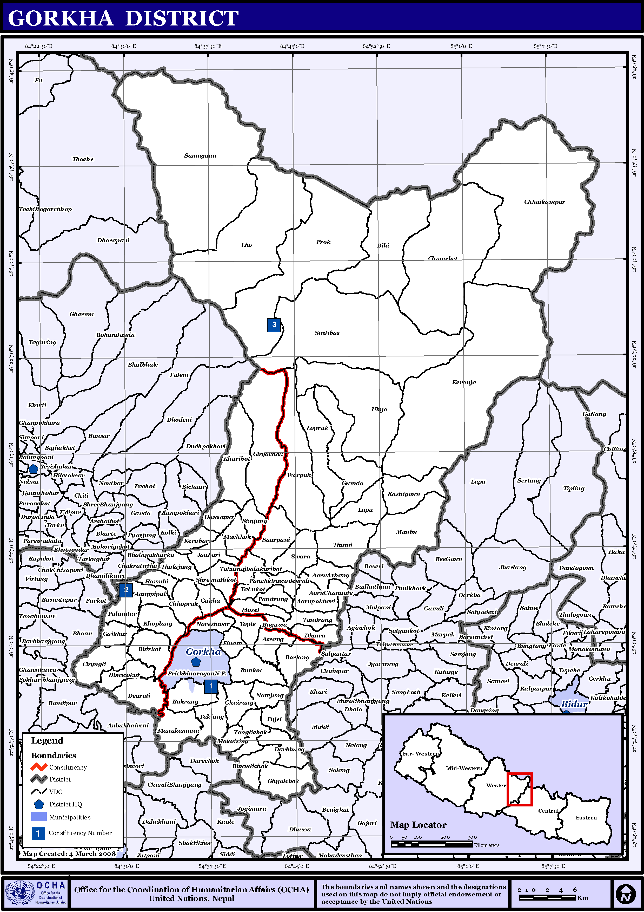
 Map of the VDCs in Gorkha District
Amppipal, Aaru Arbang, Aaru Chanuate, Aarupokhari, Asrang, Baguwa, Bakrang, Bhirkot, Bhumlichok, Bihi, Borlang, Bunkot, Chhaikampar, Chhoprak, Chumchet, Chyangli, Darbhung, Deurali, Dhawa, Dhuwakot, Finam, Fujel, Gaikhur, Gakhu, Ghairung, Ghyachok, Ghyalchok, Gorakhkali, Gumda, Hansapur, Harbhi, Jaubari, Kashigaun, Kerabari, Kerauja, Kharibot, Khoplang, Laprak, Lapu, Lho, Makaising, Manakamana, Manbu, Masel, Muchchok, Namjung, Nareshwor, Palumtar, Panchkhuwadeurali, Pandrung, Prithbinarayan, Prok, Ranishwara, Samagaun, Saurpani, Shreenathkot, Simjung, Sirdibas, Swara, Taklung, Takukot, Takumajhalakuribot, Tandrang, Tanglichok, Taple, Tara Nagar, Thalajung, Thumi, Uiya, Warpak
See also
References
- Districts of Nepal at statoids.com
Districts of Nepal Achham · Arghakhanchi · Baglung · Baitadi · Bajhang · Bajura · Banke · Bara · Bardiya · Bhaktapur · Bhojpur · Chitwan · Dadeldhura · Dailekh · Dang Deokhuri · Darchula · Dhading · Dhankuta · Dhanusa · Dolkha · Dolpa · Doti · Gorkha · Gulmi · Humla · Ilam · Jajarkot · Jhapa · Jumla · Kailali · Kalikot · Kanchanpur · Kapilvastu · Kaski · Kathmandu · Kavrepalanchok · Khotang · Lalitpur · Lamjung · Mahottari · Makwanpur · Manang · Morang · Mugu · Mustang · Myagdi · Nawalparasi · Nuwakot · Okhaldhunga · Palpa · Panchthar · Parbat · Parsa · Pyuthan · Ramechhap · Rasuwa · Rautahat · Rolpa · Rukum · Rupandehi · Salyan · Sankhuwasabha · Saptari · Sarlahi · Sindhuli · Sindhulpalchok · Siraha · Solukhumbu · Sunsari · Surkhet · Syangja · Tanahu · Taplejung · Terhathum · Udayapur
 Categories:
- Gorkha District
- Nepal geography stubs


Wikimedia Foundation. 2010.