- Wells Gray Provincial Park
Infobox_protected_area
name = Wells Gray Provincial Park
iucn_category = IV
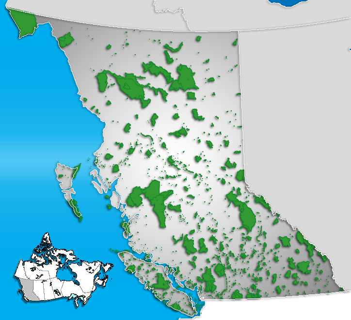
caption = Location of "Wells Gray Provincial Park" inBritish Columbia
locator_x = 198
locator_y = 173
location =British Columbia ,Canada
nearest_city = Clearwater
lat_degrees = 52
lat_minutes = 19
lat_seconds = 26
lat_direction = N
long_degrees = 120
long_minutes = 08
long_seconds = 59
long_direction = W
area = 5,000 km²
established = 1939
visitation_num =
visitation_year =
governing_body =BC Parks Wells Gray Provincial Park is a largewilderness park located inBritish Columbia ’s centralCariboo region. The park covers over 5,000square kilometre s and is home to some 219 bird species and more than 50 mammal species.The park contains numerous small
volcano es and extensivelava flows of theWells Gray-Clearwater volcanic field . It was then heavilyglaciated during the last ice ages. Those forces combined to create rugged valleys cut by impressivewaterfall s. The park is now densely forested withconifer s and dotted byalpine meadow s.History
Prior to the arrival of Europeans, the Wells Gray area was a valued hunting ground to both the
Shuswap andChilcotin aboriginal groups.Fact|date=March 2008 This resulted in ongoing conflicts over access to caribou herds and geographic names like “Battle Mountain”, “Fight Lake” and “Battle Creek”.Fact|date=March 2008A disastrous crossing of the Cariboo Mountains via what is now Wells Gray was attempted by a portion of the Overlander Party during the
Cariboo Gold Rush in the1860 s. Surveyors for the Canadian Pacific Railway visited during the 1870s in search of a rail route to thePacific Ocean .Following decades of
homesteading , Wells Gray Park was created in 1939 and named for the provincial Minister of Lands, Hon.Arthur Wellesley Gray , known familiarly as Wells Gray.Attractions
The park is popular year-round with skiers and hikers. Its extensive river and lake system also makes it an ideal
paddling destination. With 100 km of coastline, Wells Gray’sMurtle Lake is the largest paddle-only (motor free) lake in North America. The park also borders the shores of Canim Lake.Helmcken Falls is the park’s main tourist draw. It was one of the major causes for the development of Wells Grey Provincial Park. As a result, if it had not been for the volcanic eruptions within theWells Gray-Clearwater volcanic field , it is not likely that such a large wilderness region would have been made. The falls are Canada’s fourth highest with a vertical drop of 141 metres. In the winter the falls freeze into a giant ice cone. Known as “the Bookmark”, the ice cone stands taller than a twenty-storey building. Also popular with visitors isSpahats Falls .Entry points to Wells Gray Provincial Park are via the towns of Clearwater, Blue River and 100 Mile House.
ee also
*
Wells Gray-Clearwater volcanic field References
*
*
*Neave, Roland (2004). "Exploring Wells Gray Park (5th ed.)". Kamloops: Wells Gray Tours Ltd. ISBN 0-9681932-1-8
*Zuehlke, Mark (1995). "The B.C. Fact Book". Vancouver/Toronto: Whitecap Books. ISBN 1-55110-277-3External links
* [http://www.env.gov.bc.ca/bcparks/explore/parkpgs/wells.html BC Parks] - Official park site
* [http://www.wellsgraypark.ca/ Wells Gray Park.com]
*
* [http://maps.google.ca/maps?f=q&hl=en&geocode=&q=wells+gray+park+alberta&ie=UTF8&ll=52.028838,-120.053101&spn=1.191353,2.471924&t=h&z=9 Wells Gray Provincial Park on Google Maps]
Wikimedia Foundation. 2010.