- Massasauga Provincial Park
-
Massasauga Provincial Park IUCN Category II (National Park)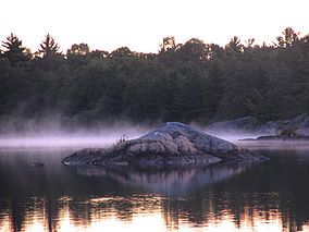
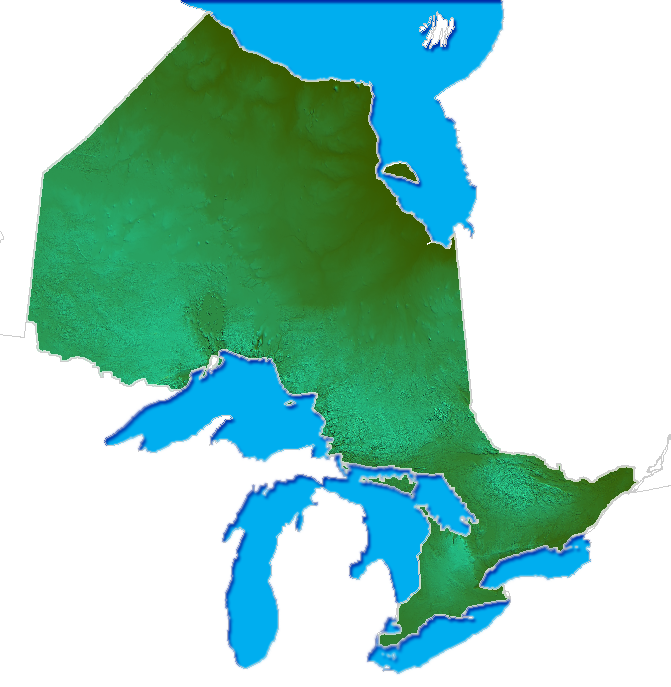
Moon IslandNearest city Parry Sound, Ontario Area 131.05 km² Governing body Ontario Parks Massasauga Provincial Park is a provincial park in Parry Sound District, Ontario, Canada, stretching from the town of Parry Sound south to the Moon River. The park has an area of 131.05 km².
The park encompasses hundreds of islands on the coast of Georgian Bay and many inland lakes including Clear Lake and Spider Lake. Classified as a "Natural Environment" park, it contains no roads, so camping is limited to interior sites. The sites on the bay can be reached by motor boat whereas those on the lakes are typically reached by non-motorized craft such as canoes or kayaks. The park also has mooring anchors for boats to overnight in some inlets on Georgian Bay.
An interpretive trail is located on Wreck Island. A multi-day backpacking trail in the northern part of the park, the Nipissing-North Arm Orienteering Trail, is used for orienteering. This wilderness trail is uncleared and only minimally marked.[1]
The park contains a striking landscape of windswept pines clinging to smooth granite-striped rocks, towering cliffs, narrow bays and inlets. On a typical visit to the park one might see wildlife common to the Near-North area of Ontario such as snapping turtles, loons, bears, great blue herons and otters but also wildlife typical of the great lakes such as cormorants, eagles, and ducks.
"Massasauga" means "mouth of the river" in Ojibway.
The park is home to the following notable animals:
- Massasauga rattlesnake (Ontario’s only venomous snake)
- Prairie warblers
- Five-lined skink (Ontario’s only lizard)
- Hybrid toads
- Map turtles
References
- ^ MacPherson, Allen (2005). Ontario Provincial Parks Trail Guide (revised ed.). Erin, Ontario: Boston Mills Press. p. 90. ISBN 1-55046-447-7.
External links
Protected areas in Ontario National parks 
Provincial parks Conservation areas Boyd · Claireville · Cold Creek · Guelph Lake · Heber Down · Kortright Centre · Lake Laurentian · Mer Bleue · Mount Nemo · Rattlesnake Point · Spencer Gorge / Webster's Falls · more...UNESCO Biosphere Reserves Georgian Bay Littoral · Long Point · Niagara Escarpment (including Cheltenham Badlands) · Thousand Islands - Frontenac Arch · Wasaga BeachNational Historic Sites of Canada Central Experimental Farm · Dundurn Castle · Laurier House · Massey Hall · Montgomery's Tavern · Osgoode Hall · Parliament · Rideau Canal · Rideau Hall · more...Other areas Coordinates: 45°13′34″N 80°03′22″W / 45.226°N 80.056°W
Categories:- IUCN Category II
- Provincial parks in Ontario
- Parks in Parry Sound District, Ontario
- Ontario geography stubs
- Canadian protected area stubs

Wikimedia Foundation. 2010.