- Rhein-Kreis Neuss
-
Rhein-Kreis Neuss — District — 
Country  Germany
State North Rhine-Westphalia Adm. region Düsseldorf Capital Neuss Area - Total 576.46 km2 (222.6 sq mi) Population (31 December 2010)[1] - Total 443,286 - Density 769/km2 (1,991.6/sq mi) Time zone CET (UTC+1) - Summer (DST) CEST (UTC+2) Vehicle registration NE Website http://www.kreis-neuss.de  Langen Foundation near Neuss.
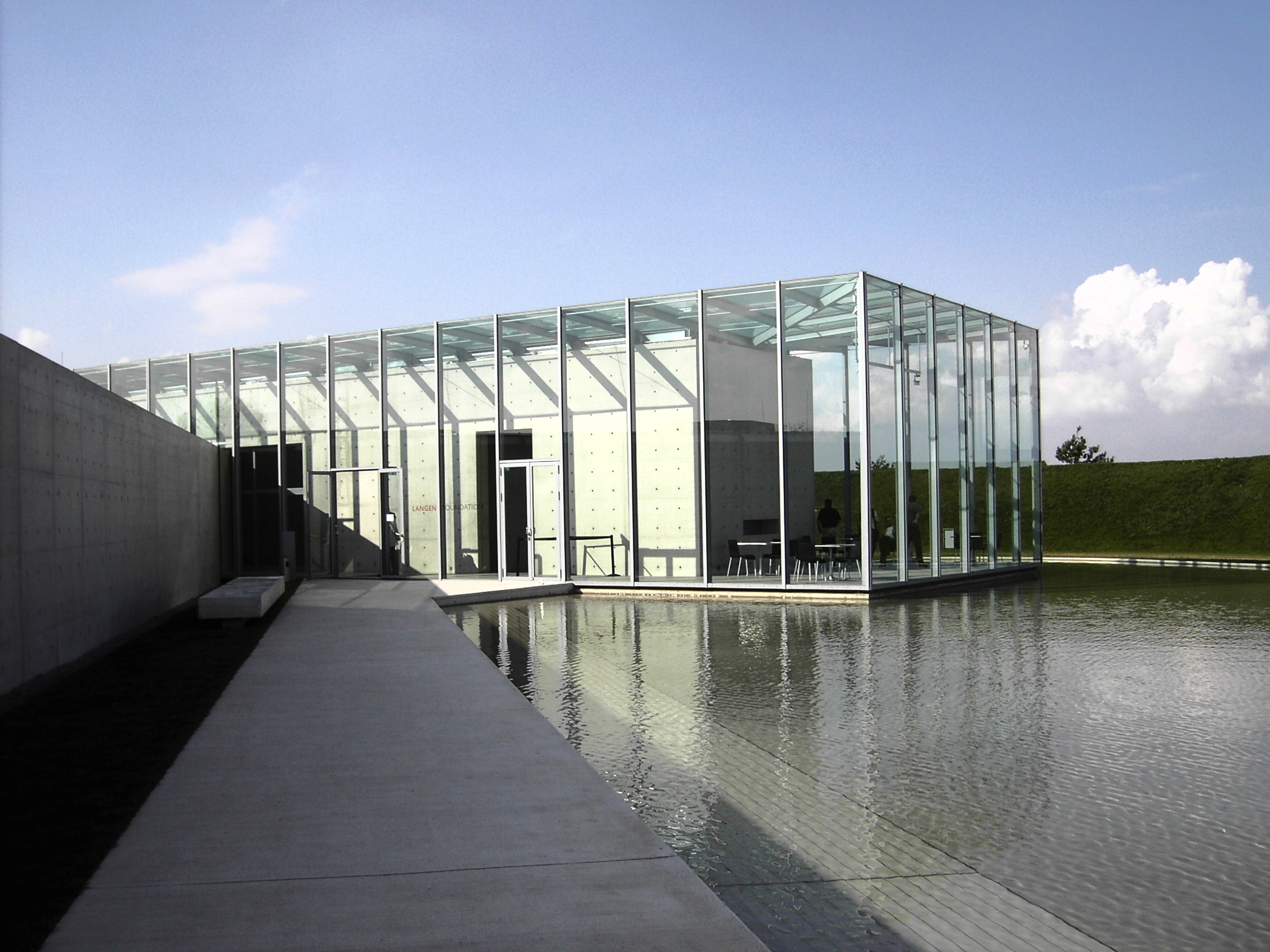
Neuss is a Kreis (district) in the west of North Rhine-Westphalia, Germany. Nearby are the urban districts Mönchengladbach, Krefeld, Duisburg, Düsseldorf, Cologne, the districts Rhein-Erft-Kreis, Düren, Heinsberg and the district Viersen.
Contents
History
In 1816 the districts Grevenbroich and Neuss were created when the whole area became part of Prussia. The city Neuss left the district in 1913 to become an urban district. In 1929 the two districts were merged into the new district Grevenbroich-Neuss, which was renamed to Grevenbroich in 1946. In 1975 the urban district of Neuss lost its independent status and was merged into the Grevenbroich district, which was renamed to Kreis Neuss to represent the new administrative seat. On May 26, 2003 it changed its name, and is now officially called Rhein-Kreis Neuss.
Geography
The main rivers of the district is the Rhine which forms most of the north-eastern border of the district, as well as the Erft. In the southern part of the district are big open pit Lignite (brown coal) mines.
Coat of arms

The coat of arms was continued from the district Grevenbroich. The lion in the right side comes from the city of Jülich. The black cross in the left comes from the Cologne coat of arms. Both the bishops of Cologne as well as the dukes of Jülich owned land of the Neuss district. Towns and municipalities
Towns Municipalities References
- ^ "Amtliche Bevölkerungszahlen" (in German). Landesbetrieb Information und Technik NRW. 31 December 2010. http://www.it.nrw.de/statistik/a/daten/amtlichebevoelkerungszahlen/index.html.
External links
 Media related to Rhein-Kreis Neuss at Wikimedia Commons
- Official website (German)
 Urban and rural districts in the state of North Rhine-Westphalia in Germany
Urban districts Bielefeld · Bochum · Bonn · Bottrop · Dortmund · Duisburg · Düsseldorf · Essen · Gelsenkirchen · Hagen · Hamm · Herne · Köln (Cologne) · Krefeld · Leverkusen · Mönchengladbach · Mülheim · Münster · Oberhausen · Remscheid · Solingen · Wuppertal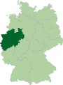
Rural districts Aachen · Borken · Coesfeld · Düren · Ennepe-Ruhr-Kreis · Euskirchen · Gütersloh · Heinsberg · Herford · Hochsauerlandkreis · Höxter · Kleve (Cleves) · Lippe · Märkischer Kreis · Mettmann · Minden-Lübbecke · Oberbergischer Kreis · Olpe · Paderborn · Recklinghausen · Rheinisch-Bergischer Kreis · Rhein-Erft-Kreis · Rhein-Kreis Neuss · Rhein-Sieg-Kreis · Siegen-Wittgenstein · Soest · Steinfurt · Unna · Viersen · Warendorf · WeselCategories:- Districts of North Rhine-Westphalia


Wikimedia Foundation. 2010.