- Aonach Mòr
-
- "Nevis range" redirects here. Nevis range can also be used to refer to the range of mountains around Ben Nevis, at the western end of the Grampians.
Aonach Mòr 
Distant shot of Aonach Mòr from BanavieElevation 1,221 m (4,006 ft) Prominence c. 134 m Parent peak Aonach Beag Listing Munro Translation Big ridge (Gaelic) Pronunciation Scottish Gaelic: [ˈɯːnəx ˈmoːɾ]
English approx: uw-nuhkh maurLocation Location Highland,  Scotland
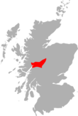
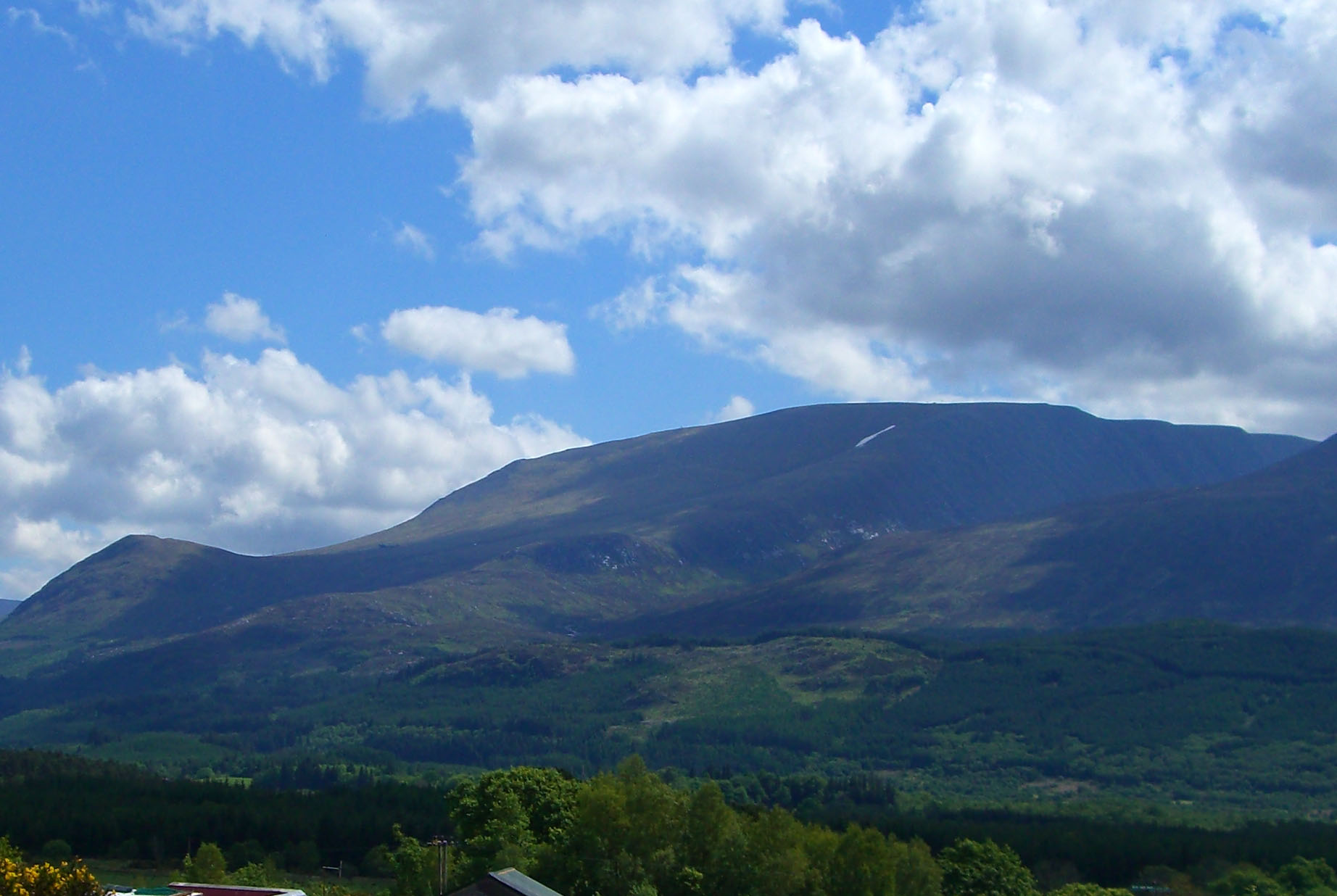
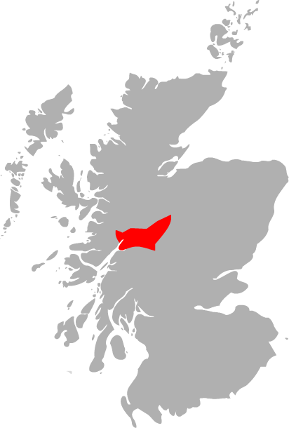
Range Grampians Topo map OS Landranger 41 OS grid NN193729 Aonach Mòr is a mountain in the Highlands of Scotland. It is located about 2 miles/ 3 km north east of Ben Nevis on the south side of Glen Spean, near the town of Fort William . The Nevis Range ski area is located on the northern slopes of the peak; the use of this name has inspired some controversy, as it has been considered by some to represent a deliberate changing of an indigenous name.
The name Aonach Mòr implies that the mountain is bigger than its close neighbour to the south, Aonach Beag (small ridge), to which it is linked by a high bealach. However Aonach Mòr is 13 metres lower than Aonach Beag; the names refer to the relative bulk of the mountains when seen from the valley, rather than their altitude above sea level.
The ski resort features a gondola lift and several chairlifts and ski tows. In winter these are used for skiing and snowboarding; in summer the gondola is used for lifting riders to the top of the downhill mountain biking track. It's also used by paraglider pilots to reach a variety of launching points.
The easiest route of ascent is to simply take the gondola to the top station (a height of 650 m (2,100 feet) above sea level), and walk the remaining way. More traditionally, the hill is often climbed from the south from Glen Nevis; the walker thus avoiding the paraphernalia associated with the ski development. Aonach Mòr is almost invariably climbed in conjunction with Aonach Beag.
The Nevis Range resort has hosted the Mountain Bike World Cup nine times (2002, 2003, 2004, 2005, 2006, 2008, 2009, 2010, 2011), and hosted the Mountain Bike World Championships in 2007.[1]
The SPEA FIM Trial World Championship will be held at Nevis Range in 2010 and 2012. The Trial des Nations will also be held here in September 2011. This will be the first time ever that this inter countries team competition has been hosted on the UK mainland during its entire history.[2]
Aonach Mor's Coire an Lochain holds one of Scotland's longest lasting snow-patches (grid reference NN193736), which sits at an altitude of 1120m.[3]
References
- ^ http://www.nevisrange.co.uk/ Nevis Range's Website
- ^ http://www.ukworldtrial.com/ UK World Trial 2010 Website
- ^ Snow patches in Scotland
Nevis range 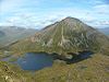
Mamores Grey Corries Alder/Ardverikie Aonach Beag · Ben Alder · Beinn Bheòil · Beinn a' Chlachair · Beinn Eibhinn · Càrn Dearg · Creag Pitridh · Geal-Chàrn · Mullach Coire an IubhairOssian/Treig Beinn na Lap · Càrn Dearg · Chno Dearg · Stob a' Choire Mheadhoin · Stob Coire Easain · Stob Coire Sgriodain · Stob GaibhreList of Munros Categories:- Ski areas and resorts in Scotland
- Munros
- Mountains and hills of the Central Highlands
- Mountain biking venues in the United Kingdom
- Protected areas of Highland (council area)

Wikimedia Foundation. 2010.