- Outapi
-
Outapi 
SealLocation in Namibia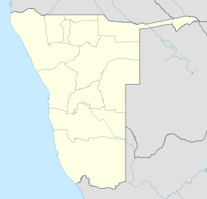
 Outapi
Coordinates: 17°31′S 15°0′E / 17.517°S 15°ECoordinates: 17°31′S 15°0′E / 17.517°S 15°E Country  Namibia
Region Omusati Region Population (2001)[1] - Total 2,640 Time zone South African Standard Time (UTC+1) Outapi, also known as Uutapi and Ombalantu, is a town in northern Namibia near the border with Angola situated 90km northwest of Oshakati. It is the capital of Omusati region and the district capital of the Outapi electoral constituency. The town normally receives an annual average rainfall of 440 millimetres (17 in), although in the 2010/2011 rainy season 723 millimetres (28.5 in) were measured.[2]
Within the former South African Army base is the famous Omukwa Ombalantu baobab tree, a Baobab whose huge hollow trunk has been used in the past as a post office, a chapel and a coffee shop, and is now a craft shop.[3]
In 2001, Outapi was the smallest town of Namibia with a population of just over 2,600.[1] However, it is developing rapidly. There is a large number of newly constructed government buildings and shops in the south of the town. The language spoken there is Oshiwambo. Outapi is one of the hottest place in the northern Namibia with temperatures ranging between 26 and 30 degrees Celsius.[4]
Outapi features several schools, a community hall, a hospital and a police station.[5] There are two open markets, one at the baobab tree and one at Ontimbu location. There is also a tourist lodge.
References
- ^ a b Republic of Namibia 2001 Population and Housing Census (Basic Analysis with Highlights ed.). Windhoek: Central Bureau of Statistics, National Planning Commission. July 2003. p. 21. ISBN 0869766147.
- ^ Menges, Werner (26 May 2011). "Rainy season was one for the record books". The Namibian. http://www.namibian.com.na/news/full-story/archive/2011/may/article/rainy-season-was-one-for-the-record-books/.
- ^ "North (Omusati): Ombalantu Baobab Tree Heritage Centre and Campsite". Namibia Travel Online. http://www.natron.net/nacobta/ombalantu/main.html. Retrieved 16 March 2011.
- ^ http://www.healthnet.org.na/directorates/regional/omusatiregion.html
- ^ "Presidential and National Assembly Elections 2009". Supplement to several Namibian newspapers (Electoral Commission of Namibia). November 2009.
Categories:- Towns in Namibia
- Omusati Region
- Namibia geography stubs


Wikimedia Foundation. 2010.