- Outer Ring Road, Hyderabad
-
State Highway ORR (¬)

ORROuter Ring Road, Hyderabad Route information Length: 158 km (98 mi) Highway system Indian Road Network
National • Expressways • State
State Highways in ¬The Outer Ring Road (Telugu: ఔటర్ రింగ్ రోడ్) or ORR is a 158 kilometer, 8-lane ring road expressway encircling the City of Hyderabad, AP, India. It is built by HMDA at a cost of Rs.6696 crores.[1] with an assistance of Rs 3,123 crores from Japan International Cooperation Agency.[2] The expressway is designed for speeds of 120 kmph.[3] It gives a proper connectivity between NH 9, NH 7, NH 4 and state highways leading to Vikarabad, Srisailam and Nagarjunasagar.[4] The expressway has fencing and a two-lane service roads on either side.
The road aims to improve connectivity and decongest the traffic flow on the existing major arterials between the outer suburbs of Greater Hyderabad. The state-run APSRTC is planning to build 22 terminals-cum-depots (TCD) along the Outer Ring Road.
The ORR passes through the villages in Ranga Reddy and Medak districts viz. Shamshabad, Tukkuguda, Kollur, Narsingi, Gachibowli, Patancheru, Bowrampet, Goudelli, Shamirpet, Ghatkesar, Pedda Amberpet, Bongloor and Medchal.
Contents
History
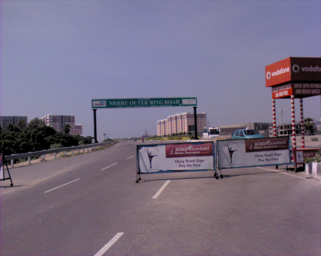
 Nehru Outer Ring Road which commences at Gachibowli
 Hyderabad Outer Ring Road
The construction started in December 2005 during the Congress party regime. It is expected to complete in a phased manner by December 2012.
First Phase
The First Phase was built to connect Rajiv Gandhi International Airport with the IT corridor. It was inaugurated on 14 November 2008.
- Shamshabad - Gachibowli (22 Kilometers)
Second Phase
The second phase is divided into A and B. This phase, thereby the entire ORR, is expected to complete by November 2012.
Second Phase A
- Pedda Amberpet to Shamshabad (38 kilometers) - (completed)
- Narsingi to Patancheru (23.7 kilometers) - (completed)
Second Phase B
- Patancheru to Shamirpet (38 kilometers) - November 2011 (expected date of completion)
- Shamirpet to Pedda Amberpet (33 kilometers) - November 2012 (expected date of completion)[5]
Junctions
There are 14 junctions on the Outer Ring Road, they are:
- Shamshabad Junction
- Andhra Pradesh Police Academy Junction (APPA Junction)
- Nanakramguda Junction
- Narsingi Junction
- Gachibowli Junction
- Pantancheru Junction
- Dommarapochampalli Junction
- Shamirpet Junction
- Cherial Junction
- Annojiguda Junction
- Pedda Amberpet Junction
- Bongloor Junction
- Kandlakoya Junction
Land Acquisition
The First Phase land required was 750 acres (3.0 km2), out of which the private land acquired was 500 acres (2.0 km2). The land required for Second Phase is about 5,500 acres (22 km2), of which the Govt. land is about 1,000 acres (4.0 km2). The estimated Cost of Acquisition is Rs. 250 Crores.
Criticism
Much before the outer ring road (ORR) become a ring road it underwent several changes, in the road alignments. And Influential farmers and realtors changed the aligned to best serve their interests at the cost of the small and marginal farmers.[6]
The High Court of Andhra Pradesh has passed a landmark Judgement on 9 September 2010 in which the land acquisition proceedings are quashed for various reasons.[7]
Regional Ring Road (RRR)
A 100 meters wide (300 feet), 290 kilomter Regional Ring Road (RRR) is planned on the existing road network.[8] It helps in linking major national highways like NH 4, NH 7, NH 9 and NH 202. The RRR connects Shadnagar, Kandukoor on srisailam highway, Chevella, Shankarpally, Sangareddy, Toopran, Choutuppal and urban pockets in Medak, Mahbubnagar and Nalgonda districts.
In the first draft proposal, it was proposed as Peripheral Ring Road (PRR) but the ring road has been renamed as RRR, covering 290 km.[9]
Objective
- De-congest metropolitan area and inner ring road and to meet future demand
- Provide orbital linkage to radial arterial roads
- Development of further satellite townships
- Provide linkage to the proposed MRTS and Bus system
- Provide faster access to the International Airport
- Connect urban nodes like Hi- Tech city , Games village, IIIT, ISB, Hardware Park, Singapore Township Financial district
The traffic studies on NH 7 and NH 9 show that the road is due for 4/6 lane. The traffic movement on the existing inner ring road shows that the existing 4-lane road is inadequate. The anticipated growth in the region and development of the proposed satellite townships around the ring road and beyond, an 8-lane carriage way is planned for a design life of 20 years.
The conclusion to develop a highway with full control of access warrants providing highway grade separations or interchanges for all intersecting highways. Once it has been decided to develop the route as an expressway all intersecting highways should be terminated, rerouted or provided with a grade separation. The proposed corridor is designed to fully access controlled and limited access is to be provided at National Highway/SHI Major road crossings. A 2-lane service roads designed to carry two way traffic, are proposed on both sides of the corridor. Low level underpasses are to be provided for connecting both the service roads at every 1–2 km, where the terrain permits.
The project is to be implemented in 2 phases and is estimated to cost Rs 3000 Crores.
- Construction of 22 mi (35 km) of Phase-I from Gachibowli to Shamshabad NH7 (Rs 500 Crores).
- Construction of 140 mi (230 km) of Phase-II (Rs 2500 Crores).
References
- ^ http://www.deccanchronicle.com/hyderabad/another-260-km-ring-road-planned-city-784
- ^ http://www.deccanchronicle.com/hyderabad/state-considering-toll-tax-orr-509
- ^ http://ibnlive.in.com/news/orr-to-be-drivers-delight/176822-60-121.html
- ^ http://www.deccanchronicle.com/channels/cities/hyderabad/ring-road-2012-says-cm-865
- ^ http://timesofindia.indiatimes.com/city/hyderabad/Another-ORR-stretch-to-be-ready-soon/articleshow/7079683.cms
- ^ http://timesofindia.indiatimes.com/articleshow/1104407.cms
- ^ http://hc.ap.nic.in/orders/wp_16378_2006.html
- ^ http://timesofindia.indiatimes.com/city/hyderabad/Proposed-regional-ring-road-to-be-wider/articleshow/8829700.cms
- ^ http://timesofindia.indiatimes.com/city/hyderabad/HMDA-to-prepare-integrated-master-plan/articleshow/7838134.cms
External links
Categories:- Roads in Andhra Pradesh
- Transport in Hyderabad, India
- Orbital roads in India


Wikimedia Foundation. 2010.