- Nili, Afghanistan
-
Nili 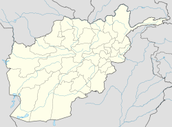
 Nili
NiliCoordinates: 33°43′N 66°7′E / 33.717°N 66.117°ECoordinates: 33°43′N 66°7′E / 33.717°N 66.117°E Country  Afghanistan
Province Daykundi Province District Nili District Elevation 2,022 m (6,634 ft) Time zone Afghanistan Standard Time (UTC+4:30) Nili is the capital city of Nili District, Daykundi Province, Afghanistan. The town of Nili is at 2,022 m altitude and has a small airport (heliport) with a gravel runway and a commercial radio station. The weather conditions in the winter are severe and the roads are difficult.
Due to Nili's geographical inaccessibility and acute security problems, it was not until April 2007 that the United Nations opened an office in Nili of UNAMA (United Nations Assistance Mission in Afghanistan).
 Mayor Azra Jafari
In December 2008, Ms. Azra Jafari was named by President Karzai to be the mayor of Nili, thus becoming Afghanistan's first female mayor.
Categories:- Populated places in Daykundi Province
- Afghanistan geography stubs


Wikimedia Foundation. 2010.