- Sioux Narrows-Nestor Falls
-
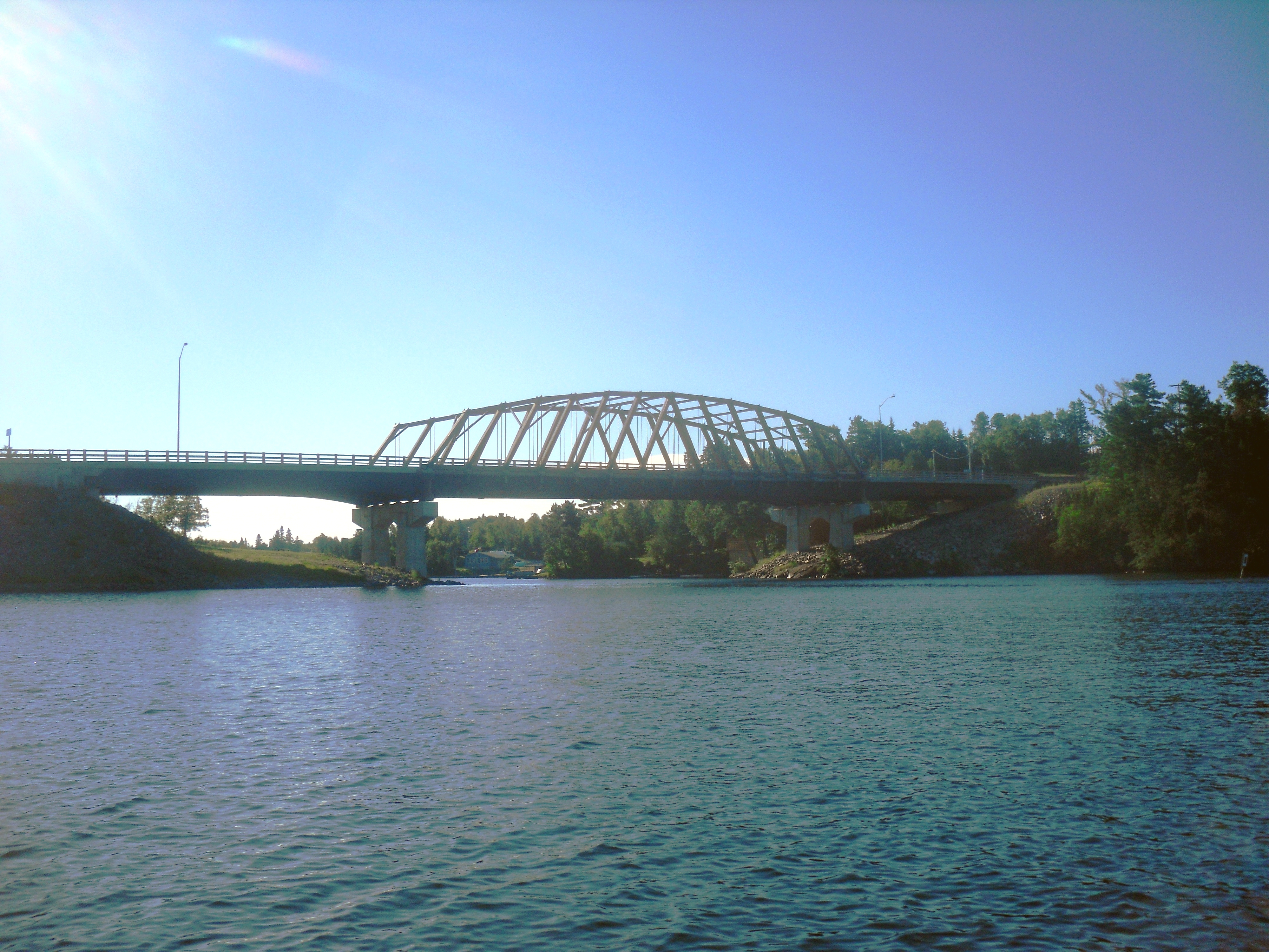
Sioux Narrows-Nestor Falls — Township — Sioux Narrows Bridge
 Sioux Narrows-Nestor Falls
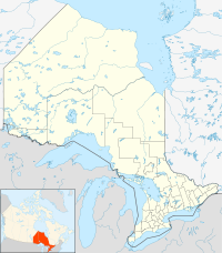
Coordinates: 49°24′N 94°05′W / 49.4°N 94.083°WCoordinates: 49°24′N 94°05′W / 49.4°N 94.083°W Country  Canada
Province  Ontario
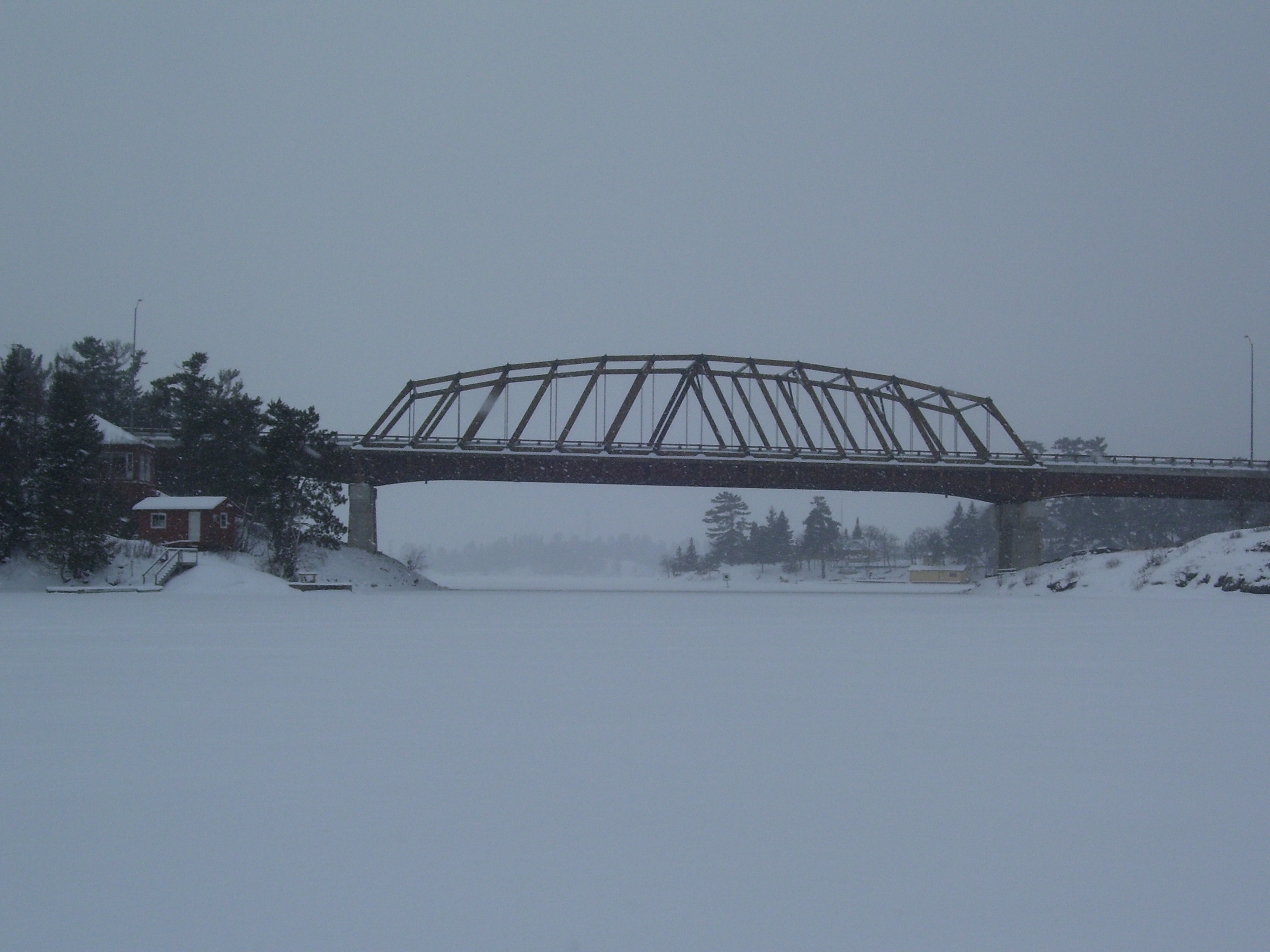
District Kenora Settled 1880s Formed January 1, 2001 Government - Mayor Bill Thompson - Federal riding Kenora - Prov. riding Kenora—Rainy River Area[1] - Land 1,221.56 km2 (471.6 sq mi) Population (2006)[1] - Total 672 - Density 0.6/km2 (1.6/sq mi) Time zone CST (UTC-6) - Summer (DST) CDT (UTC-5) Postal Code FSA P0X Area code(s) 807 Website www.siouxnarrows-nestorfalls.ca  Sioux Narrows Bridge in winter
Sioux Narrows-Nestor Falls is a township in the Canadian province of Ontario, located in the Kenora District. It is located on the eastern shores of Lake of the Woods along Ontario Highway 71.
The township was formed in 2001 by amalgamating the formerly incorporated Township of Sioux Narrows with portions of Unorganized Kenora District, including the community of Nestor Falls. The township had a population of 672 in the Canada 2006 Census.
Contents
Communities
Sioux Narrows is a small resort community located on the shores of Lake of the Woods where Highway 71 crosses the eponymous narrows to Regina Bay. There are about 300 permanent residents, and about double that in the summer time when cottagers from Ontario, Manitoba, and the United States come for vacation. Tourism is the primary industry, with many resorts in the nearby vicinity.
In the mid-18th century, an Ojibwa-Cree alliance is said to have defeated an invading party of Sioux at a narrows here on the lake. Sioux Narrows is named in recognition of that event. The Sioux Narrows Bridge, a historic structure on Highway 71 which was reconstructed in 2007, overlooks the site of the battle.[2]
Nestor Falls, located along Highway 71 at Sabaskong Bay on Lake of the Woods, held the status of designated place in the Canada 2006 Census, and has a population of 290. The settlement was founded in the early 20th century by a certain Mr. Nestor who started logging operations and used the natural waterfall there to transport the logs to Lake of the Woods.[2]
History
The area was originally home to Ojibway and Cree indigenous people. In the 18th century, Lake of the Woods began to be exploited by European fur traders as a good source for fur and it became part of an established trade route from the Rainy River to Rat Portage. The main trading posts were set up at Rainy River and Fort Frances, but circa 1804, an outpost was also established on Whitefish Lake (now known as Regina Bay, directly east of Sioux Narrows) by the Northwest Company.[3]
In the 1820s, the area was surveyed in order to determine the international border between the United States and British North America. But further development was limited since the Ojibway restricted European travelers only to the regular trade routes. In 1873, the Dominion of Canada signed Treaty 3, in which the Ojibway ceded vast tracts of territory to the Government of Canada. This permitted the first wave of settlers to arrive in the late 1870s or early 1880s. The construction of the Canadian Pacific Railway in 1881 further accelerated exploration, settlement, logging, and mining. The outpost on Whitefish Lake, since 1821 owned by the Hudson's Bay Company, was taken over by a private entrepeneur in the 1890s and operated until 1932.[4]
In 1895, a gold mine opened on Regina Bay, employing about eighty-five men and led to the formation of a settlement with a schoolhouse, miner’s residences and a community hall. The mine was fully operational only until 1900 and thereafter operated intermittently. During that period until 1935, settlement remained sporadic and isolated, heavily dependant on the cyclical presence of mining and logging camps, and only accessible by boat or winter roads. The construction of what is now known as Ontario Highway 71 in the 1930s resulted in permanent communities and opened the area to a booming outdoor tourism industry.[4]
Demographics
Canada census – Sioux Narrows-Nestor Falls Community Profile 2006 2001 Population:
Land area:
Population density:
Median age:
Total private dwellings:
Mean household income:672 (16.5% from 2001)
1,221.56 km2 (471.65 sq mi)
0.6 /km2 (1.6 /sq mi)
49.6 (males: 49.7, females: 49.5)
844
$52,888577 (-27.3% from 1996)
1,226.36 km2 (473.50 sq mi)
0.5 /km2 (1.3 /sq mi)
46.3 (males: 47.1, females: 46.1)
760
$43,107Population trend:[7]
- Population in 2006: 672
- Population in 2001: 577
- Population total in 1996: 794
- Sioux Narrows (township): 430
- Population in 1991:
- Sioux Narrows (township): 390
References
- ^ a b "Sioux Narrows-Nestor Falls community profile". 2006 Census data. Statistics Canada. http://www12.statcan.gc.ca/census-recensement/2006/dp-pd/prof/92-591/details/page.cfm?Lang=E&Geo1=CSD&Code1=3560008&Geo2=PR&Code2=35&Data=Count&SearchText=sioux&SearchType=Begins&SearchPR=01&B1=All&Custom=. Retrieved 2011-05-19.
- ^ a b "History". Sioux Narrows-Nestor Falls. http://www.siouxnarrows-nestorfalls.ca/municipal-government/community-profile/history/. Retrieved 2011-05-20.
- ^ "Fur Trading Posts". Sioux Narrows-Nestor Falls. http://www.siouxnarrows-nestorfalls.ca/municipal-government/community-profile/history/fur-trading-posts/. Retrieved 2011-05-20.
- ^ a b "Early Settlement". Sioux Narrows-Nestor Falls. http://www.siouxnarrows-nestorfalls.ca/municipal-government/community-profile/history/early-settlement/. Retrieved 2011-05-20.
- ^ "2006 Community Profiles". Statistics Canada. Government of Canada. 2009-02-24. http://www12.statcan.ca/census-recensement/2006/dp-pd/prof/92-591/index.cfm?Lang=E. Retrieved 2011-05-19.
- ^ "2001 Community Profiles". Statistics Canada. Government of Canada. 2007-02-01. http://www12.statcan.ca/english/profil01/CP01/Index.cfm?Lang=E. Retrieved 2011-05-19.
- ^ Statistics Canada: 1996, 2001, 2006 census
External links

Unorganized Kenora District Unorg. Kenora District
Sabaskong Bay 35C
Lake of the Woods
Unorg. Kenora District
Whitefish Bay 32A
Whitefish Bay 34A
Whitefish Bay 33A
Unorg. Kenora District Sioux Narrows-Nestor Falls

Morley, Unorganized Rainy River District Sabaskong Bay 35D Cities 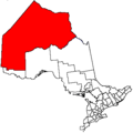
Towns Red Lake • Sioux LookoutTownships Indian reserves Attawapiskat 91A • Bearskin Lake • Cat Lake 63C • Deer Lake • Eagle Lake 27 • English River 21 • Fort Albany 67 (part) • Fort Hope 64 • Fort Severn 89 • Kasabonika Lake • Keewaywin • Kenora 38B • Kingfisher Lake 1 • Kitchenuhmaykoosib Aaki 84 • Lac Seul 28 • Lake of the Woods 31G • Lake of the Woods 37 • Marten Falls 65 • Muskrat Dam Lake • Neskantaga • North Spirit Lake • Northwest Angle 33B • Osnaburgh 63B • Pikangikum 14 • Poplar Hill • Rat Portage 38A • Sabaskong Bay 35C and 35D • Sachigo Lake 1 and 2 • Sandy Lake 88 • Shoal Lake 39A (part) • Shoal Lake 40 (part) • Shoal Lake 34B2 • The Dalles 38C • Wabaseemoong • Wabauskang 21 • Wabigoon Lake 27 • Wapekeka 1 and 2 • Wawakapewin • Weagamow Lake 87 • Whitefish Bay 32A • Whitefish Bay 33A • Whitefish Bay 34A • Wunnumin 1 and 2Indian settlements Unorganized areas See also: Communities in Kenora District • Census divisions of OntarioCategories:- Township municipalities in Ontario
- Municipalities in Kenora District, Ontario


Wikimedia Foundation. 2010.