- National Register of Historic Places listings in Williamsburg, Virginia
-
This list includes properties and districts listed on the National Register of Historic Places in the independent city of Williamsburg, Virginia. Click the "Map of all coordinates" link to the right to view a Google map of all properties and districts with latitude and longitude coordinates in the table below.[1]
-
- This National Park Service list is complete through NPS recent listings posted November 10, 2011.[2]
[3] Landmark name[4] Image Date listed Location Summary 1 Bruton Parish Church 
May 10, 1970 Duke of Gloucester St.
37°16′16″N 76°42′10″W / 37.27111°N 76.70278°W2 Chandler Court and Pollard Park Historic District October 3, 1996 Roughly bounded by Jamestown Rd., Griffin Ave., Pollard Park, and College of William and Mary Maintenance Yard
37°16′4″N 76°42′36″W / 37.26778°N 76.71°W3 College Landing July 12, 1978 Address Restricted 4 Merchants Square and Resort Historic District 
May 3, 2006 Boundary St., Duke of Gloucester St., S. England St., Francis St., Henry St. Prince George St.
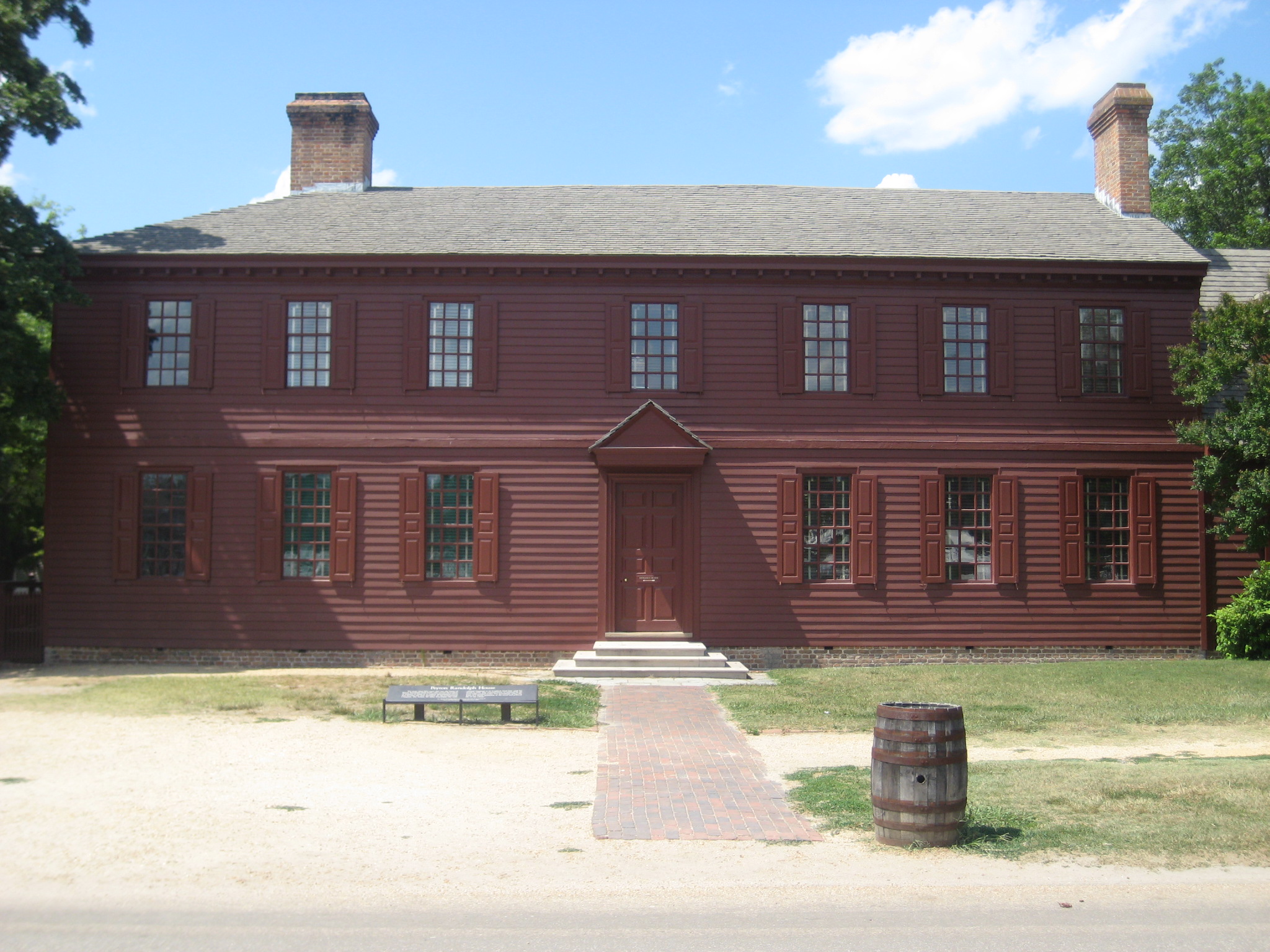
37°16′14″N 76°42′6″W / 37.27056°N 76.70167°W5 Peyton Randolph House 
April 15, 1970 Corner of Nicholson and N. England Sts.
37°16′19″N 76°42′0″W / 37.27194°N 76.7°W6 James Semple House 
April 15, 1970 S side of Frances St. between Blair and Walker Sts.
37°16′12″N 76°41′36″W / 37.27°N 76.69333°W7 Matthew Whaley School August 13, 2004 301 Scotland St.
37°16′34″N 76°42′16″W / 37.27611°N 76.70444°W8 Williamsburg Historic District 
October 15, 1966 Bounded by Francis, Waller, Nicholson, N. England, Lafayette, and Nassau Sts.
37°15′45″N 76°41′59″W / 37.2625°N 76.69972°W9 Williamsburg Inn June 4, 1997 136 E. Francis St.
37°16′8″N 76°41′52″W / 37.26889°N 76.69778°W10 Wren Building, College of William and Mary 
October 15, 1966 College of William and Mary campus
37°16′15″N 76°42′33″W / 37.27083°N 76.70917°W11 Wythe House 
April 15, 1970 W side of the Palace Green
37°16′18″N 76°42′12″W / 37.27167°N 76.70333°WSee also
- National Register of Historic Places listings in Virginia
- National Register of Historic Places listings in James City County, Virginia
- List of National Historic Landmarks in Virginia
References
- ^ The latitude and longitude information provided in this table was derived originally from the National Register Information System, which has been found to be fairly accurate for about 99% of listings. For about 1% of NRIS original coordinates, experience has shown that one or both coordinates are typos or otherwise extremely far off; some corrections may have been made. A more subtle problem causes many locations to be off by up to 150 yards, depending on location in the country: most NRIS coordinates were derived from tracing out latitude and longitudes off of USGS topographical quadrant maps created under North American Datum of 1927, which differs from the current, highly accurate GPS system used by Google maps. Chicago is about right, but NRIS longitudes in Washington are higher by about 4.5 seconds, and are lower by about 2.0 seconds in Maine. Latitudes differ by about 1.0 second in Florida. Some locations in this table may have been corrected to current GPS standards.
- ^ "National Register of Historic Places: Weekly List Actions". National Park Service, United States Department of the Interior. Retrieved on November 10, 2011.
- ^ Numbers represent an ordering by significant words. Various colorings, defined here, differentiate National Historic Landmark sites and National Register of Historic Places Districts from other NRHP buildings, structures, sites or objects.
- ^ "National Register Information System". National Register of Historic Places. National Park Service. 2008-04-24. http://nrhp.focus.nps.gov/natreg/docs/All_Data.html.
U.S. National Register of Historic Places Topics Lists by states Alabama • Alaska • Arizona • Arkansas • California • Colorado • Connecticut • Delaware • Florida • Georgia • Hawaii • Idaho • Illinois • Indiana • Iowa • Kansas • Kentucky • Louisiana • Maine • Maryland • Massachusetts • Michigan • Minnesota • Mississippi • Missouri • Montana • Nebraska • Nevada • New Hampshire • New Jersey • New Mexico • New York • North Carolina • North Dakota • Ohio • Oklahoma • Oregon • Pennsylvania • Rhode Island • South Carolina • South Dakota • Tennessee • Texas • Utah • Vermont • Virginia • Washington • West Virginia • Wisconsin • WyomingLists by territories Lists by associated states Other  Category:National Register of Historic Places •
  Portal:National Register of Historic PlacesCategories:
- Williamsburg, Virginia
- National Register of Historic Places in Virginia
- Virginia-related lists
-


Wikimedia Foundation. 2010.