- National Register of Historic Places listings in Sevier County, Tennessee
-
 Location of Sevier County in Tennessee
This is a list of the National Register of Historic Places listings in Sevier County, Tennessee.
This is intended to be a complete list of the properties and districts on the National Register of Historic Places in Sevier County, Tennessee, United States. Latitude and longitude coordinates are provided for many National Register properties and districts; these locations may be seen together in a Google map.[1]
There are 34 properties and districts listed on the National Register in the county.
Contents: Counties in Tennessee Anderson – Bedford – Benton – Bledsoe – Blount – Bradley – Campbell – Cannon – Carroll – Carter – Cheatham – Chester – Claiborne – Clay – Cocke – Coffee – Crockett – Cumberland – Davidson – Decatur – DeKalb – Dickson – Dyer – Fayette – Fentress – Franklin – Gibson – Giles – Grainger – Greene – Grundy – Hamblen – Hamilton – Hancock – Hardeman – Hardin – Hawkins – Haywood – Henderson – Henry – Hickman – Houston – Humphreys – Jackson – Jefferson – Johnson – Knox – Lake – Lauderdale – Lawrence – Lewis – Lincoln – Loudon – Macon – Madison – Marion – Marshall – Maury – McMinn – McNairy – Meigs – Monroe – Montgomery – Moore – Morgan – Obion – Overton – Perry – Pickett – Polk – Putnam – Rhea – Roane – Robertson – Rutherford – Scott – Sequatchie – Sevier – Shelby – Smith – Stewart – Sullivan – Sumner – Tipton – Trousdale – Unicoi – Union – Van Buren – Warren – Washington – Wayne – Weakley – White – Williamson – Wilson -
- This National Park Service list is complete through NPS recent listings posted November 10, 2011.[2]
Current listings
[3] Landmark name [4] Image Date listed Location City or town Summary 1 Riley H. Andes House July 8, 1980 Douglas Dam Rd.
35°53′01″N 83°34′18″W / 35.883611°N 83.571667°WSevierville 2 Mayna Treanor Avent Studio 
February 7, 1994 Jake's Creek Trail, 1.0 mile south of Elkton
35°38′21″N 83°35′15″W / 35.639167°N 83.5875°WElkmont 3 Brabson's Ferry Plantation 
June 25, 1975 Northwest of Sevierville off Sevierville Pike in the area of Boyd's Creek
35°55′45″N 83°39′03″W / 35.929167°N 83.650833°WSevierville 4 Buckingham House 
March 18, 1971 West of Sevierville on Sevierville Pike
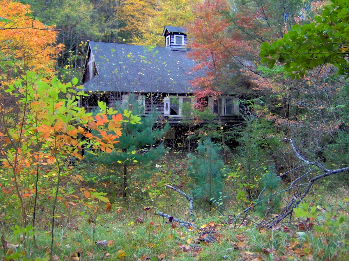
35°54′58″N 83°37′56″W / 35.916111°N 83.632222°WSevierville 5 Alex Cole Cabin 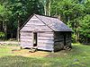
January 2, 1976 5 miles south of Gatlinburg off U.S. Route 441 in Great Smoky Mountains National Park
35°39′59″N 83°31′22″W / 35.666389°N 83.522778°WGatlinburg 6 Elkmont Historic District, Great Smoky Mountains NP 
March 22, 1994 Off State Route 72 southwest of Gatlinburg
35°39′20″N 83°35′04″W / 35.655556°N 83.584444°WGatlinburg 7 First Methodist Church, Gatlinburg July 3, 2007 742 Parkway
35°42′41″N 83°31′02″W / 35.711389°N 83.517222°WGatlinburg 8 Harrisburg Covered Bridge 
June 10, 1975 South of Harrisburg off U.S. Route 411 over East Fork of the Little Pigeon River
35°51′39″N 83°28′58″W / 35.860833°N 83.482778°WHarrisburg 9 Headrick's Chapel 
July 19, 2001 Wears Valley Rd.
35°41′58″N 89°40′47″W / 35.699444°N 89.679722°WHarchertown 10 Keener-Johnson Farm March 18, 1999 1112 Boyd's Creek Highway
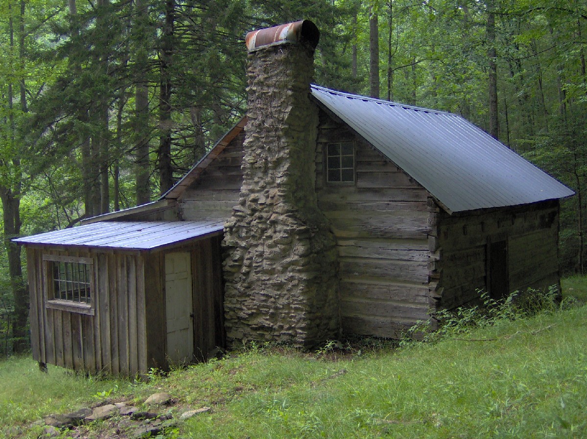
35°53′44″N 89°44′11″W / 35.895556°N 89.736389°WSeymour 11 King-Walker Place 
March 16, 1976 West of Gatlinburg off State Route 73 in Great Smoky Mountains National Park
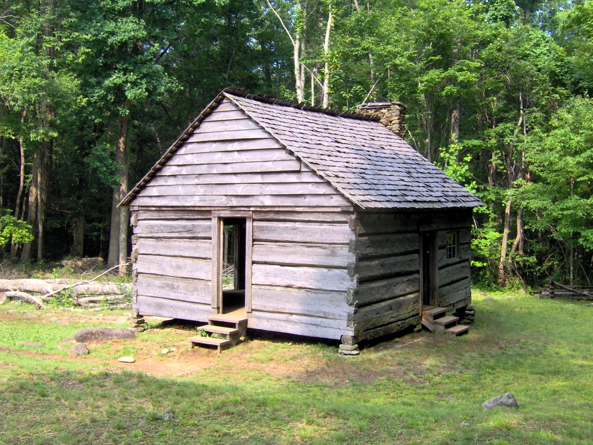
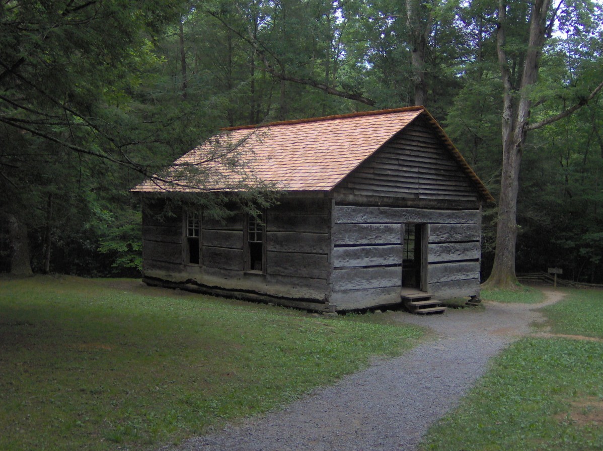
35°41′39″N 83°37′45″W / 35.694167°N 83.629167°WGatlinburg 12 Little Greenbrier School-Church 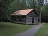
January 11, 1976 About 9 miles west of Gatlinburg off State Route 73 in Great Smoky Mountains National Park
35°41′01″N 83°38′17″W / 35.683611°N 83.638056°WGatlinburg 13 Tyson McCarter Place 
March 16, 1976 10 miles east of Gatlinburg on State Route 73 in Great Smoky Mountains National Park
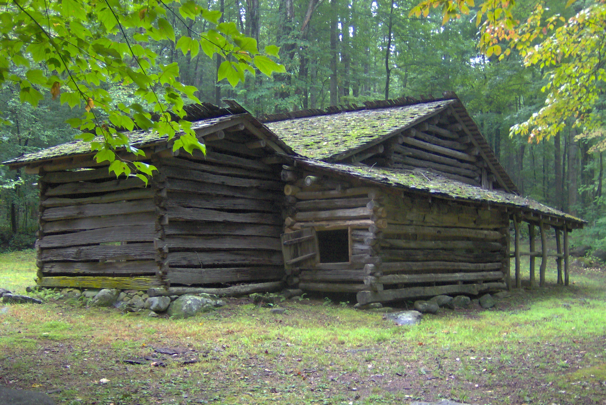
35°46′N 83°18′W / 35.76°N 83.3°WGatlinburg 14 Messer Barn 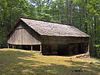
January 1, 1976 Southeast of Gatlinburg near Greenbrier Cove in Great Smoky Mountains National Park
35°41′13″N 83°23′54″W / 35.686944°N 83.398333°WGatlinburg 15 New Salem Baptist Church 
July 24, 2003 601 Eastgate Rd.
35°51′32″N 83°33′14″W / 35.858889°N 83.553889°WSevierville Built in 1886 by African-American brick mason Isaac Dockery 16 Bud Ogle Farm 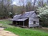
November 23, 1977 3 miles southeast of Gatlinburg
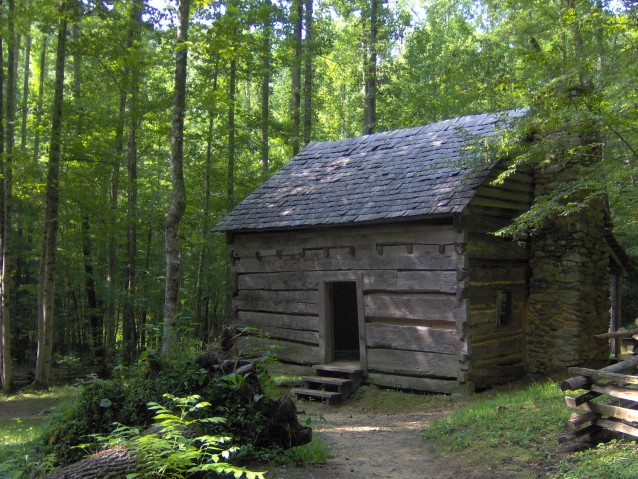
35°40′50″N 83°29′28″W / 35.680556°N 83.491111°WGatlinburg 17 John Ownby Cabin 
January 1, 1976 3 miles south of Gatlinburg off State Route 73 in Great Smoky Mountains National Park
35°41′22″N 83°32′50″W / 35.689444°N 83.547222°WGatlinburg 18 Perry's Camp October 30, 1992 101 Flat Branch Rd.
35°43′31″N 83°31′40″W / 35.725278°N 83.527778°WGatlinburg 19 Pigeon Forge Mill 
June 10, 1975 Off U.S. Route 441
35°47′18″N 83°33′15″W / 35.788333°N 83.554167°WPigeon Forge 20 Pittman Community Center Home Economics Building 
November 29, 1996 2839 Webb Creek Rd.
35°45′30″N 83°23′44″W / 35.758333°N 83.395556°WPittman Center 21 Roaring Fork Historic District 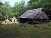
March 16, 1976 5 miles southeast of Gatlinburg off State Route 73 in Great Smoky Mountains National Park
35°41′54″N 83°28′04″W / 35.698333°N 83.467778°WGatlinburg 22 Rose Glen 
July 18, 1975 4 miles east of Sevierville on the Newport Highway
35°51′34″N 83°29′58″W / 35.859444°N 83.499444°WSevierville 23 Settlement School Community Outreach Historic District 
July 11, 2007 556 Parkway
35°42′46″N 83°30′45″W / 35.712778°N 83.5125°WGatlinburg Comprises publicly accessible parts of the campus of the settlement school established by Pi Beta Phi that now houses the Arrowmont School of Arts and Crafts.[5] 24 Settlement School Dormitories and Dwellings Historic District 
March 20, 2007 556 Parkway
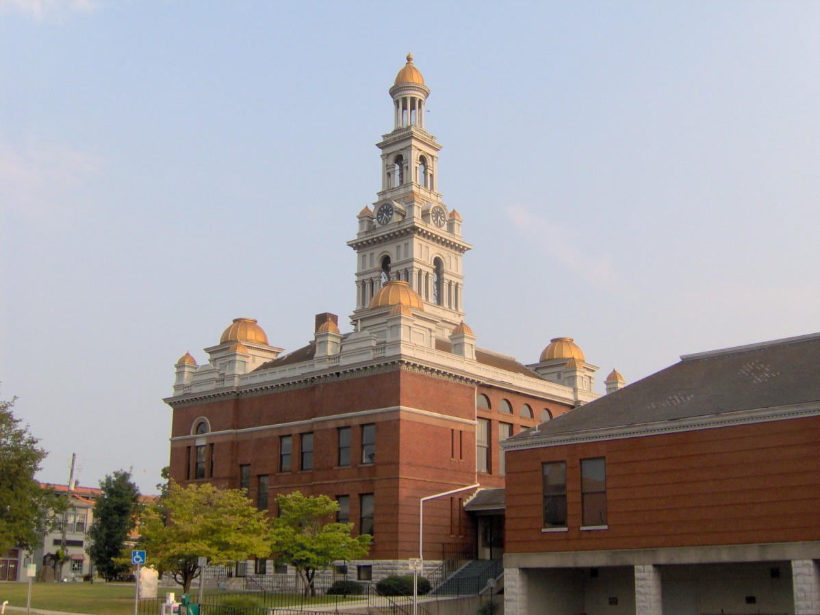
35°42′45″N 83°30′37″W / 35.7125°N 83.510278°WGatlinburg Comprises residential portions of the campus of the settlement school established by Pi Beta Phi that now houses the Arrowmont School of Arts and Crafts.[6] 25 Sevier County Courthouse 
March 24, 1971 Court Ave.
35°52′04″N 83°33′58″W / 35.867778°N 83.566111°WSevierville 26 Sevierville Commercial Historic District 
October 23, 1986 Sections of Bruce St., Court Ave., and Commerce St.
35°52′05″N 83°33′57″W / 35.868056°N 83.565833°WSevierville 27 Sevierville Masonic Lodge February 7, 1980 119 Main St.
35°52′06″N 83°33′50″W / 35.868333°N 83.563889°WSevierville 28 Thomas Addition Historic District March 17, 1994 Roughly bounded by Park Rd., Belle Ave., Cedar St., Grace Ave., and Prince St.
35°51′49″N 85°33′37″W / 35.863611°N 85.560278°WSevierville 29 Trotter-McMahan House October 10, 1975 South of Sevierville on Middle Creek Rd.; also 1605 Middle Creek Rd.
35°49′49″N 83°32′22″W / 35.830278°N 83.539444°WSevierville 1605 Middle Creek represents a boundary increase of September 11 30 US Post Office-Sevierville March 14, 1997 167 Bruce St.
35°52′01″N 83°33′51″W / 35.866944°N 83.564167°WSevierville 31 Dwight and Kate Wade House 
December 15, 1997 114 Joy St.
35°51′59″N 83°33′55″W / 35.866389°N 83.565278°WSevierville Built in 1940 by Fred McMahan, designed by New York architect Verna Cooke-Salomonsky 32 Walker Mill Hydroelectric Station November 20, 1990 West Prong of the Little Pigeon River just off U.S. Route 441
35°50′44″N 83°34′08″W / 35.845556°N 83.568889°WSevierville 33 Waters House 
June 18, 1975 217 Cedar St.
35°51′56″N 83°33′46″W / 35.865556°N 83.562778°WSevierville 34 Wheatlands 
July 7, 1975 Northwest of Sevierville on the Old Knoxville Highway
35°55′07″N 83°40′06″W / 35.918611°N 83.668333°WSevierville See also
- List of National Historic Landmarks in Tennessee
- National Register of Historic Places listings in Tennessee
References
- ^ The latitude and longitude information provided in this table was derived originally from the National Register Information System, which has been found to be fairly accurate for about 99% of listings. For about 1% of NRIS original coordinates, experience has shown that one or both coordinates are typos or otherwise extremely far off; some corrections may have been made. A more subtle problem causes many locations to be off by up to 150 yards, depending on location in the country: most NRIS coordinates were derived from tracing out latitude and longitudes off of USGS topographical quadrant maps created under the North American Datum of 1927, which differs from the current, highly accurate WGS84 GPS system used by Google maps. Chicago is about right, but NRIS longitudes in Washington are higher by about 4.5 seconds, and are lower by about 2.0 seconds in Maine. Latitudes differ by about 1.0 second in Florida. Some locations in this table may have been corrected to current GPS standards.
- ^ "National Register of Historic Places: Weekly List Actions". National Park Service, United States Department of the Interior. Retrieved on November 10, 2011.
- ^ Numbers represent an ordering by significant words. Various colorings, defined here, differentiate National Historic Landmark sites and National Register of Historic Places Districts from other NRHP buildings, structures, sites or objects.
- ^ "National Register Information System". National Register of Historic Places. National Park Service. . http://nrhp.focus.nps.gov/natreg/docs/All_Data.html.
- ^ http://www.state.tn.us/environment/hist/pdf/settlement_cohd.pdf
- ^ http://www.state.tn.us/environment/hist/pdf/settlement&dwellings.pdf
U.S. National Register of Historic Places Topics Lists by states Alabama • Alaska • Arizona • Arkansas • California • Colorado • Connecticut • Delaware • Florida • Georgia • Hawaii • Idaho • Illinois • Indiana • Iowa • Kansas • Kentucky • Louisiana • Maine • Maryland • Massachusetts • Michigan • Minnesota • Mississippi • Missouri • Montana • Nebraska • Nevada • New Hampshire • New Jersey • New Mexico • New York • North Carolina • North Dakota • Ohio • Oklahoma • Oregon • Pennsylvania • Rhode Island • South Carolina • South Dakota • Tennessee • Texas • Utah • Vermont • Virginia • Washington • West Virginia • Wisconsin • WyomingLists by territories Lists by associated states Other Municipalities and communities of Sevier County, Tennessee Cities 
Town CDP Unincorporated
communitiesAlder Branch | Beech Springs | Boyds Creek | Catlettsburg | Caton | Cherokee Hills | Kodak | Laurel | Oldham | Wears Valley
Footnotes ‡This populated place also has portions in an adjacent county or counties
Categories:- National Register of Historic Places in Tennessee by county
- Sevier County, Tennessee
- Buildings and structures in Sevier County, Tennessee
-


Wikimedia Foundation. 2010.