- National Register of Historic Places listings in McKinley County, New Mexico
-
 Location of McKinley County in New Mexico
This is a list of the National Register of Historic Places listings in McKinley County, New Mexico.
This is intended to be a complete list of the properties and districts on the National Register of Historic Places in McKinley County, New Mexico, United States. Latitude and longitude coordinates are provided for many National Register properties and districts; these locations may be seen together in a Google map.[1]
There are 75 properties and districts listed on the National Register in the county, including 2 National Historic Landmarks.
-
- This National Park Service list is complete through NPS recent listings posted November 10, 2011.[2]
Contents: Counties in New Mexico Bernalillo – Catron – Chaves – Cibola – Colfax – Curry – De Baca – Doña Ana – Eddy – Grant – Guadalupe – Harding – Hidalgo – Lea – Lincoln – Los Alamos – Luna – McKinley – Mora – Otero – Quay – Rio Arriba – Roosevelt – San Juan – San Miguel – Sandoval – Santa Fe – Sierra – Socorro – Taos – Torrance – Union – Valencia Current listings
[3] Landmark name [4] Image Date listed Location City or town Summary 1 Andrews Archeological District May 17, 1979 Address Restricted Prewitt 2 Archeological Site LA 15278 (Reservoir Site; CM 100) August 2, 1985 Address Restricted Pueblo Pintado 3 Archeological Site LA 45,780 August 2, 1985 Address Restricted Pueblo Pintado 4 Archeological Site LA 45,781 August 2, 1985 Address Restricted Pueblo Pintado 5 Archeological Site LA 45,782 August 2, 1985 Address Restricted Pueblo Pintado 6 Archeological Site LA 45,784 August 2, 1985 Address Restricted Pueblo Pintado 7 Archeological Site LA 45,785 August 2, 1985 Address Restricted Pueblo Pintado 8 Archeological Site LA 45,786 August 2, 1985 Address Restricted Pueblo Pintado 9 Archeological Site LA 45,789 August 2, 1985 Address Restricted Pueblo Pintado 10 Archeological Site LA 50,000 August 2, 1985 Address Restricted Pueblo Pintado 11 Archeological Site LA 50,001 August 2, 1985 Address Restricted Pueblo Pintado 12 Archeological Site LA 50,013 (CM101) August 2, 1985 Address Restricted Pueblo Pintado 13 Archeological Site LA 50,014 (CM 102) August 2, 1985 Address Restricted Pueblo Pintado 14 Archeological Site LA 50,015 (CM 102A) August 2, 1985 Address Restricted Pueblo Pintado 15 Archeological Site LA 50,016 (CM 103) August 2, 1985 Address Restricted Pueblo Pintado 16 Archeological Site LA 50,017 (CM 104) August 2, 1985 Address Restricted Pueblo Pintado 17 Archeological Site LA 50,018 August 2, 1985 Address Restricted Pueblo Pintado 18 Archeological Site LA 50,019 (CM 105) August 2, 1985 Address Restricted Pueblo Pintado 19 Archeological Site LA 50,020 (CM 106) August 2, 1985 Address Restricted Pueblo Pintado 20 Archeological Site LA 50,021 August 2, 1985 Address Restricted Pueblo Pintado 21 Archeological Site LA 50,022 (CM 107) August 2, 1985 Address Restricted Pueblo Pintado 22 Archeological Site LA 50,023 (CM 118) August 2, 1985 Address Restricted Pueblo Pintado 23 Archeological Site LA 50,024 (CM 108) August 2, 1985 Address Restricted Pueblo Pintado 24 Archeological Site LA 50,025 (CM 109) August 2, 1985 Address Restricted Pueblo Pintado 25 Archeological Site LA 50,026 (CM 108) August 2, 1985 Address Restricted Pueblo Pintado 26 Archeological Site LA 50,027 (CM 111) August 2, 1985 Address Restricted Pueblo Pintado 27 Archeological Site LA 50,028 (CM 112) August 2, 1985 Address Restricted Pueblo Pintado 28 Archeological Site LA 50,030 (CM 114) August 2, 1985 Address Restricted Pueblo Pintado 29 Archeological Site LA 50,031 (CM 115) August 2, 1985 Address Restricted Pueblo Pintado 30 Archeological Site LA 50,033 (CM 117) August 2, 1985 Address Restricted Pueblo Pintado 31 Archeological Site LA 50,034 August 2, 1985 Address Restricted Pueblo Pintado 32 Archeological Site LA 50,036 August 2, 1985 Address Restricted Pueblo Pintado 33 Archeological Site LA 50,037 August 2, 1985 Address Restricted Pueblo Pintado 34 Archeological Site LA 50,038 August 2, 1985 Address Restricted Pueblo Pintado 35 Archeological Site LA 50,044 August 2, 1985 Address Restricted Pueblo Pintado 36 Archeological Site LA 50,071 (CM 148) August 2, 1985 Address Restricted Pueblo Pintado 37 Archeological Site LA 50,072 (CM 94) August 2, 1985 Address Restricted Pueblo Pintado 38 Archeological Site LA 50,074 (CM 181) August 2, 1985 Address Restricted Pueblo Pintado 39 Archeological Site LA 50,077 August 2, 1985 Address Restricted Pueblo Pintado 40 Archeological Site LA 50,080 August 2, 1985 Address Restricted Pueblo Pintado 41 Archeological Site LA 50,035 October 9, 1985 Address Restricted Pueblo Pintado 42 Ashcroft-Merrill Historic District July 27, 1990 Junction of Bloomfield and McNeil Sts.
35°08′09″N 108°29′41″W / 35.135833°N 108.494722°WRamah 43 Bee Burrow Archeological District 
December 10, 1984 Along Seven Lakes Wash north of Seven Lakes
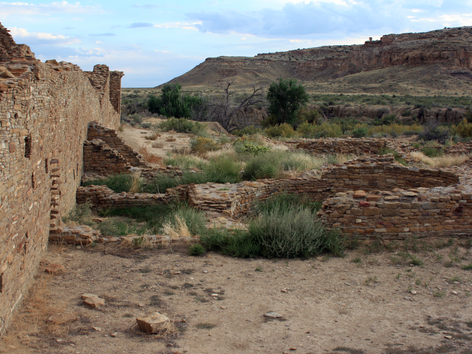
35°48′44.568″N 107°57′2.124″W / 35.81238°N 107.95059°W[5]Seven Lakes 44 Casa de Estrella Archeological Site October 10, 1980 Address Restricted Crownpoint 45 Chaco Culture National Historical Park 
October 15, 1966 Address Restricted Thoreau 46 Chief Theater May 16, 1988 228 W. Coal Ave.
35°31′37″N 108°44′37″W / 35.526944°N 108.743611°WGallup 47 C.N. Cotton Warehouse January 14, 1988 101 N. Third St.
35°31′40″N 108°44′41″W / 35.527778°N 108.744722°WGallup 48 Cousins Bros. Trading Post March 22, 2006 768 A-D Cousins Rd.
35°15′04″N 108°53′42″W / 35.251111°N 108.895°WChi Chil Tah 49 Dalton Pass Archeological Site October 10, 1980 Address Restricted Crownpoint 50 Drake Hotel January 14, 1988 216 E. 66th Ave.
35°31′43″N 108°44′19″W / 35.528611°N 108.738611°WGallup 51 El Morro Theater May 16, 1988 205-209 W. Coal Ave.
35°33′14″N 108°44′28″W / 35.553889°N 108.741111°WGallup 52 El Rancho Hotel 
January 14, 1988 100 E. 66th Ave.
35°31′46″N 108°43′18″W / 35.529444°N 108.721667°WGallup 53 Fort Wingate Archeological Site October 10, 1980 Address Restricted Fort Wingate 54 Fort Wingate Historic District May 26, 1978 State Road 400
35°28′01″N 108°32′23″W / 35.466944°N 108.539722°WFort Wingate 55 Grand Hotel May 25, 1988 306 W. Coal Ave.
35°31′36″N 108°44′38″W / 35.526667°N 108.743889°WGallup 56 Greenlee Archeological Site October 10, 1980 Address Restricted Crownpoint 57 Halona Pueblo February 10, 1975 Zuni
35°04′04″N 108°49′37″W / 35.067778°N 108.826944°WGallup 58 Harvey Hotel May 25, 1988 408 W. Coal Ave.
35°31′35″N 108°44′42″W / 35.526389°N 108.745°WGallup A hotel of the Fred Harvey Company line. 59 Haystack Archeological District October 10, 1980 Address Restricted Crownpoint 60 Roy T. Herman's Garage and Service Station November 22, 1993 State Road 122, 150 yards west of an exit from Interstate 40
35°23′50″N 108°13′27″W / 35.397222°N 108.224167°WThoreau 61 Lebanon Lodge No. 22 February 14, 1989 106 W. Aztec
35°31′36″N 108°44′26″W / 35.526667°N 108.740556°WGallup 62 Manuelito Complex October 15, 1966 Address Restricted Manuelito 63 McKinley County Courthouse 
February 15, 1989 205-209 W. Hill St.
35°31′29″N 108°44′30″W / 35.524722°N 108.741667°WGallup 64 Palace Hotel May 16, 1988 236 W. 66th Ave.
35°31′39″N 108°44′36″W / 35.5275°N 108.743333°WGallup 65 Peggy's Pueblo August 16, 1994 Address Restricted Zuni Pueblo 66 Redwood Lodge February 13, 1998 907 E. 66th Ave.
35°31′50″N 108°43′46″W / 35.530556°N 108.729444°WGallup 67 Rex Hotel January 14, 1988 300 W. 66th Ave.
35°31′38″N 108°44′37″W / 35.527222°N 108.743611°WGallup 69 Southwestern Range and Sheep Breeding Laboratory Historic District May 30, 2003 Fort Wingate Work Center in the Cibola National Forest
35°27′17″N 108°34′08″W / 35.454722°N 108.568889°WFort Wingate 68 Route 66, State maintained from Iyanbito to Rehobeth November 19, 1997 Former U.S. Route 66 from Iyanbito Interchange at Interstate 40 to State Police Station Rehobeth
35°31′04″N 108°34′46″W / 35.517778°N 108.579444°WRehobeth 70 Route 66, State Maintained from Manuelito to the Arizona Border November 22, 1993 Western side of the Manuelito grade separation southwest to the Arizona border
35°24′40″N 108°59′57″W / 35.411111°N 108.999167°WMentmore 71 Upper Kin Klizhin Archeological Site 
October 10, 1980 Along Kin Klizhin Wash south of Chaco Canyon, north of Crownpoint[6] Crownpoint 72 US Post Office May 25, 1988 201 S. 1st St.
35°31′39″N 108°44′25″W / 35.5275°N 108.740278°WGallup 73 Evon Zartman Vogt Ranch House February 4, 1993 1 mile south of Ramah, 500 feet east of State Road 53
35°07′15″N 108°29′00″W / 35.120833°N 108.483333°WRamah 74 White Cafe January 14, 1988 100 W. 66th Ave.
35°31′41″N 108°44′27″W / 35.528056°N 108.740833°WGallup 75 Zuni-Cibola Complex December 2, 1974 Address Restricted Zuni Pueblo Extends into Cibola and Valencia counties See also
- List of National Historic Landmarks in New Mexico
- National Register of Historic Places listings in New Mexico
References
- ^ The latitude and longitude information provided in this table was derived originally from the National Register Information System, which has been found to be fairly accurate for about 99% of listings. For about 1% of NRIS original coordinates, experience has shown that one or both coordinates are typos or otherwise extremely far off; some corrections may have been made. A more subtle problem causes many locations to be off by up to 150 yards, depending on location in the country: most NRIS coordinates were derived from tracing out latitude and longitudes off of USGS topographical quadrant maps created under the North American Datum of 1927, which differs from the current, highly accurate WGS84 GPS system used by Google maps. Chicago is about right, but NRIS longitudes in Washington are higher by about 4.5 seconds, and are lower by about 2.0 seconds in Maine. Latitudes differ by about 1.0 second in Florida. Some locations in this table may have been corrected to current GPS standards.
- ^ "National Register of Historic Places: Weekly List Actions". National Park Service, United States Department of the Interior. Retrieved on November 10, 2011.
- ^ Numbers represent an ordering by significant words. Various colorings, defined here, differentiate National Historic Landmark sites and National Register of Historic Places Districts from other NRHP buildings, structures, sites or objects.
- ^ "National Register Information System". National Register of Historic Places. National Park Service. . http://nrhp.focus.nps.gov/natreg/docs/All_Data.html.
- ^ Location derived from its HABS entry and USGS maps described there; the NRIS lists it as "Address Restricted"
- ^ Location derived from its HABS entry; the NRIS lists it as "Address Restricted"
U.S. National Register of Historic Places Topics Lists by states Alabama • Alaska • Arizona • Arkansas • California • Colorado • Connecticut • Delaware • Florida • Georgia • Hawaii • Idaho • Illinois • Indiana • Iowa • Kansas • Kentucky • Louisiana • Maine • Maryland • Massachusetts • Michigan • Minnesota • Mississippi • Missouri • Montana • Nebraska • Nevada • New Hampshire • New Jersey • New Mexico • New York • North Carolina • North Dakota • Ohio • Oklahoma • Oregon • Pennsylvania • Rhode Island • South Carolina • South Dakota • Tennessee • Texas • Utah • Vermont • Virginia • Washington • West Virginia • Wisconsin • WyomingLists by territories Lists by associated states Other Municipalities and communities of McKinley County, New Mexico City 
CDPs Black Rock | Brimhall Nizhoni | Church Rock | Crownpoint | Crystal‡ | Nakaibito | Navajo | Pueblo Pintado | Ramah | Rock Springs | Thoreau | Tohatchi | Tse Bonito | Twin Lakes | Yah-ta-hey | Zuni Pueblo
Unincorporated
communityBorrego Pass | Pinedale
Indian reservation Footnotes ‡This populated place also has portions in an adjacent county or counties
Categories:- National Register of Historic Places in New Mexico by county
- McKinley County, New Mexico
- History of McKinley County, New Mexico
-


Wikimedia Foundation. 2010.