- National Register of Historic Places listings in Marion County, Kentucky
-
 Location of Marion County in Kentucky
This is a list of the National Register of Historic Places listings in Marion County, Kentucky.
It is intended to be a complete list of the properties on the National Register of Historic Places in Marion County, Kentucky, United States. The locations of National Register properties for which the latitude and longitude coordinates are included below, may be seen in a Google map.[1]
There are 10 properties listed on the National Register in the county.
-
- This National Park Service list is complete through NPS recent listings posted November 10, 2011.[2]
Current listings
[3] Landmark name Image Date listed Location City or town Summary 1 Bradfordsville Christian Church October 25, 2010 101 E. Main St.
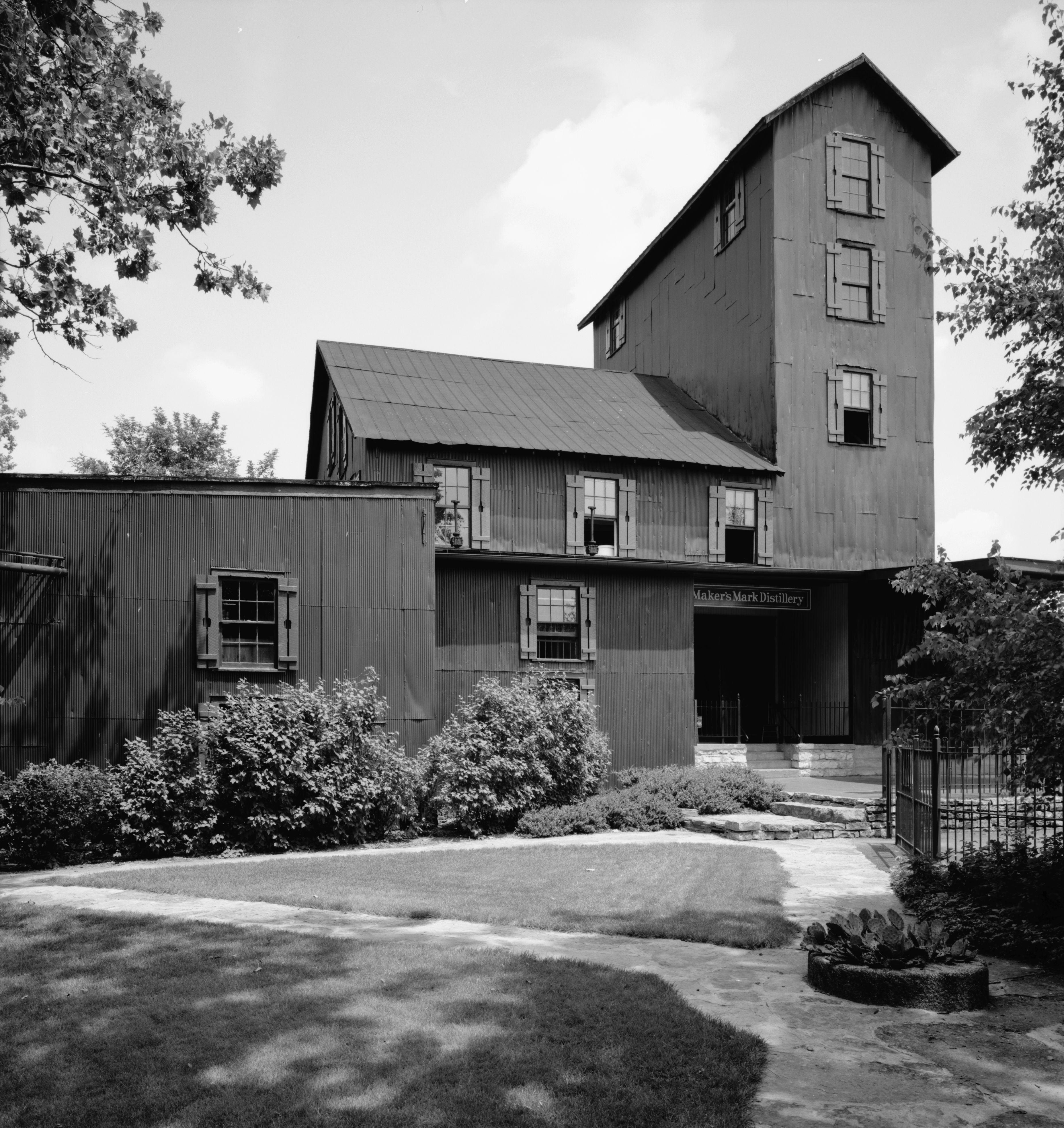
37°29′39″N 85°08′59″W / 37.494167°N 85.149722°WBradfordsville 2 Burks' Distillery 
December 31, 1974 East of Loretto off KY 49 and KY 52
37°38′48″N 85°21′03″W / 37.646667°N 85.350833°WLoretto 3 Lebanon Historic Commercial District 
November 10, 1987 Main St. roughly between Proctor Knott and Spalding Aves.
37°34′10″N 85°15′10″W / 37.569444°N 85.252778°WLebanon 4 Lebanon Junior High School and Lebanon High School 
March 31, 2000 Junction of N. Spalding and Hood Aves.
37°34′19″N 85°15′11″W / 37.571944°N 85.253056°WLebanon 5 Lebanon National Cemetery June 5, 1975 1 mile southwest of Lebanon off KY 208
37°33′12″N 85°16′06″W / 37.553333°N 85.268333°WLebanon 6 Loretto Motherhouse April 2, 1980 Off KY 152
37°39′49″N 85°23′53″W / 37.663611°N 85.398056°WNerinx 7 Capt. Andrew Offutt Monument 
July 17, 1997 Ryder Cemetery, east of Lebanon, off U.S. Route 68
37°34′24″N 85°14′30″W / 37.573333°N 85.241667°WLebanon 8 St. Joseph Church October 25, 2010 3300 St. Joe Rd.
37°31′20″N 85°23′22″W / 37.522222°N 85.389444°WRaywick 9 St. Mary's College Historic District April 10, 1980 South of St. Mary
37°34′12″N 85°20′41″W / 37.57°N 85.344722°WSt. Mary 10 Leonard A. Spalding House 
April 3, 1991 307 E. Main St.
37°34′17″N 85°14′59″W / 37.571389°N 85.249722°WLebanon See also
- List of National Historic Landmarks in Kentucky
- National Register of Historic Places listings in Kentucky
References
- ^ The latitude and longitude information provided in this table was derived originally from the National Register Information System, which has been found to be fairly accurate for about 99% of listings. For about 1% of NRIS original coordinates, experience has shown that one or both coordinates are typos or otherwise extremely far off; some corrections may have been made. A more subtle problem causes many locations to be off by up to 150 yards, depending on location in the country: most NRIS coordinates were derived from tracing out latitude and longitudes off of USGS topographical quadrant maps created under North American Datum of 1927, which differs from the current, highly accurate GPS system used by Google maps. Chicago is about right, but NRIS longitudes in Washington are higher by about 4.5 seconds, and are lower by about 2.0 seconds in Maine. Latitudes differ by about 1.0 second in Florida. Some locations in this table may have been corrected to current GPS standards.
- ^ "National Register of Historic Places: Weekly List Actions". National Park Service, United States Department of the Interior. Retrieved on November 10, 2011.
- ^ Numbers represent an ordering by significant words. Various colorings, defined here, differentiate National Historic Landmark sites and National Register of Historic Places Districts from other NRHP buildings, structures, sites or objects.
U.S. National Register of Historic Places Topics Lists by states Alabama • Alaska • Arizona • Arkansas • California • Colorado • Connecticut • Delaware • Florida • Georgia • Hawaii • Idaho • Illinois • Indiana • Iowa • Kansas • Kentucky • Louisiana • Maine • Maryland • Massachusetts • Michigan • Minnesota • Mississippi • Missouri • Montana • Nebraska • Nevada • New Hampshire • New Jersey • New Mexico • New York • North Carolina • North Dakota • Ohio • Oklahoma • Oregon • Pennsylvania • Rhode Island • South Carolina • South Dakota • Tennessee • Texas • Utah • Vermont • Virginia • Washington • West Virginia • Wisconsin • WyomingLists by territories Lists by associated states Other  Category:National Register of Historic Places •
  Portal:National Register of Historic Places
Municipalities and communities of Marion County, Kentucky County seat: Lebanon Cities Bradfordsville | Lebanon | Loretto | Raywick
 Categories:
- National Register of Historic Places in Kentucky by county
- Marion County, Kentucky
-


Wikimedia Foundation. 2010.