- Mount Columbia (Canada)
-
For the Colorado fourteener, see Mount Columbia (Colorado).
Mount Columbia 
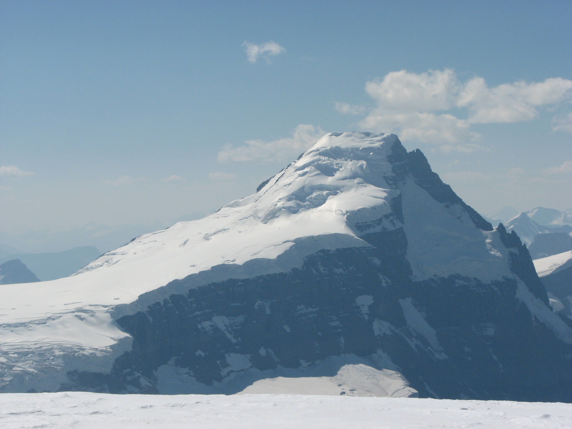
Mount Columbia, from the summit of Snow DomeElevation 3,747 m (12,293 ft) [1] Prominence 2,383 m (7,818 ft) [2] Listing List of Ultras in Canada Location 
 Mount Columbia
 Alberta,
  British Columbia,
  Canada
Range Sir Winston Churchill Range (Canadian Rockies) Coordinates 52°08′50″N 117°26′10″W / 52.14722°N 117.43611°WCoordinates: 52°08′50″N 117°26′10″W / 52.14722°N 117.43611°W Topo map NTS 83C/03 Climbing First ascent 1902 by James Outram, guided by Christian Kaufmann[1] Easiest route snow/glacier climb Mount Columbia is the highest point in Alberta, Canada and the second highest peak in the Canadian Rockies after Mount Robson. It is located on the border between Alberta and British Columbia on the northern edge of the Columbia Icefield. Its highest point, however, lies within Jasper National Park in Alberta.[3]
The mountain was named in 1898 by J. Norman Collie after the Columbia River.[1] The river itself was named after the American ship Columbia Rediviva captained by Robert Gray, who first ventured over a dangerous sandbar and explored the lower reaches of the river in 1792. Mount Columbia was first ascended in 1902 by James Outram, guided by Christian Kaufmann
Climbing routes
The normal route is on the east face, a non-technical glacier climb that is straightforward in summer, albeit with a long approach over the icefield. Other routes include the North Ridge; An excellent route with lots of variety packed into almost 2000 m of climbing. While not technically desperate, it is still not a route to be taken lightly.(Grade V, YDS 5.7, W3).[1]
See also
- List of highest points of Canadian provinces and territories
- Mountain peaks of North America
- Mountain peaks of the Rocky Mountains
References
- ^ a b c d "Mount Columbia". PeakFinder. http://www.peakfinder.com/peakfinder.asp?PeakName=Mount+Columbia. Retrieved 2003-11-06.
- ^ "Mount Columbia". Bivouac.com. http://www.bivouac.com/MtnPg.asp?MtnId=1. Retrieved 2007-01-17.
- ^ "Mount Columbia". Peakbagger.com. http://www.peakbagger.com/peak.aspx?pid=4470.
External links
- "Mount Columbia". BC Geographical Names. http://apps.gov.bc.ca/pub/bcgnws/names/37959.html.
- Mt. Columbia on Peakware
Categories:- Canadian Rockies
- Jasper National Park
- Mountains of Alberta
- Mountains of British Columbia
- Borders of British Columbia
- Borders of Alberta

Wikimedia Foundation. 2010.