- Miller Peak (Sentinel Range)
-
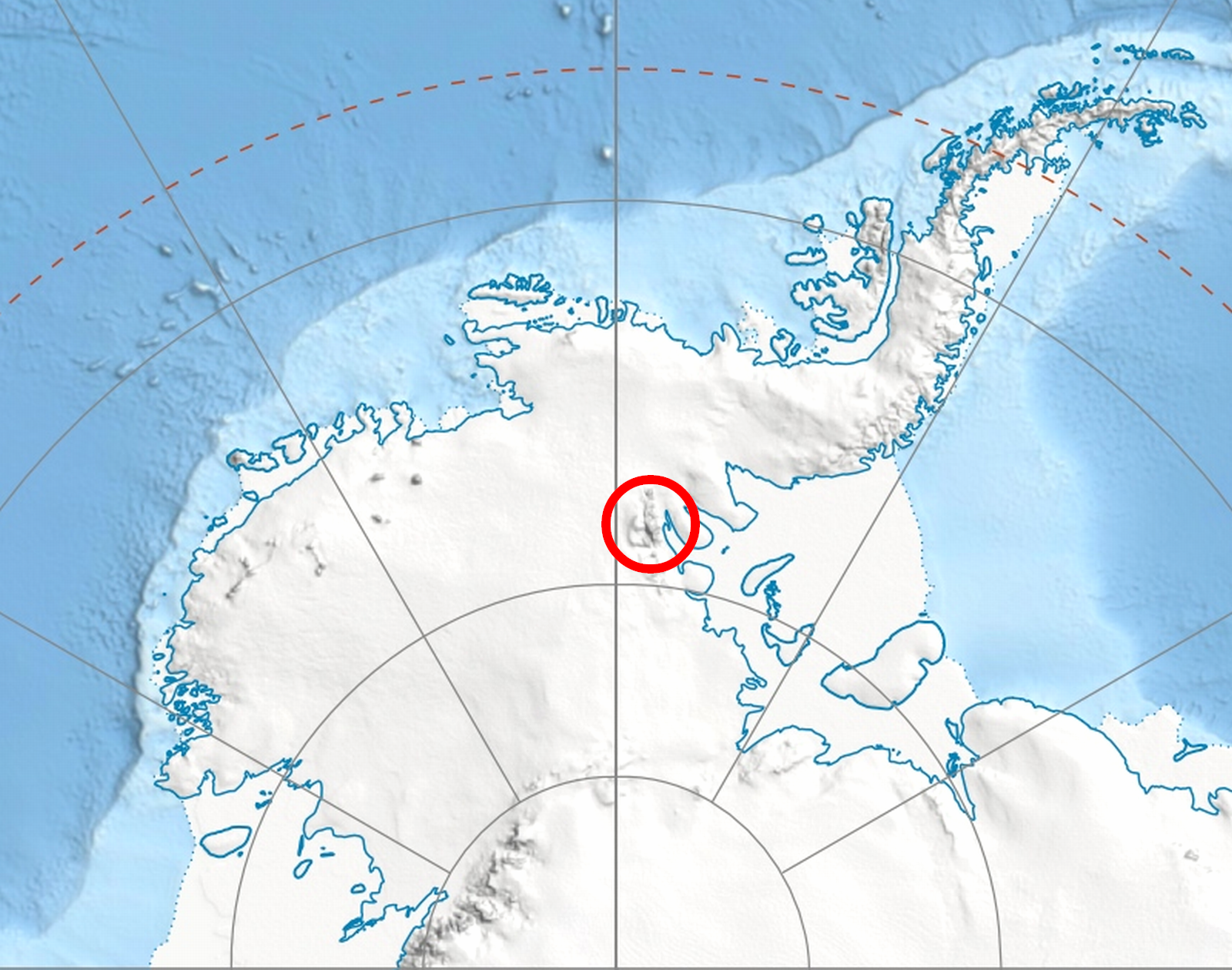
 Location of Sentinel Range in Western Antarctica.
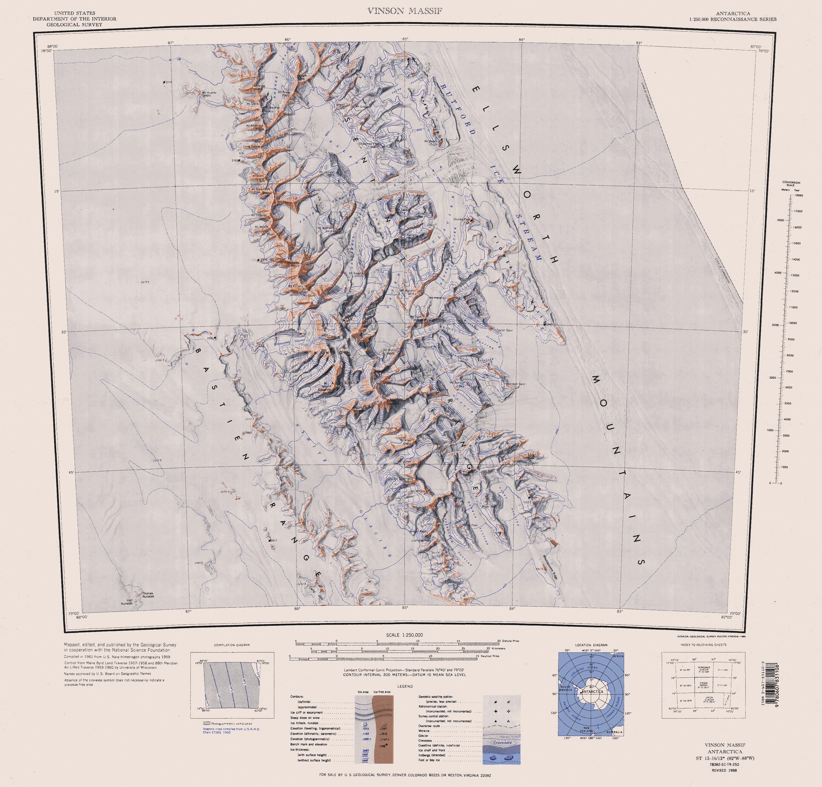
 Sentinel Range map.
Miller Peak is a peak with twin summits on the central part of the ridge between Hudman and Carey Glaciers, in Petvar Heights at the south end of Sentinel Range in Ellsworth Mountains, Antarctica. First mapped by United States Geological Survey (USGS) from surveys and U.S. Navy air photos, 1957-59. Named by Advisory Committee on Antarctic Names (US-ACAN) for Charles S. Miller, aviation electronics technician, U.S. Navy, who was killed in a crash of a P2V Neptune airplane at McMurdo Sound in October 1956.
Maps
- Vinson Massif. Scale 1:250 000 topographic map. Reston, Virginia: US Geological Survey, 1988.
References
 This article incorporates public domain material from the United States Geological Survey document "Miller Peak (Sentinel Range)" (content from the Geographic Names Information System).
Coordinates: 78°49′S 84°14′W / 78.817°S 84.233°W

This Ellsworth Land location article is a stub. You can help Wikipedia by expanding it.