- Marmion Avenue
-
Marmion Avenue 
Length 27 km (17 mi) Direction South-North From Karrinyup Road, Trigg via Hillarys, Ocean Reef, Quinns Rocks & Jindalee To Yanchep Beach Road, Yanchep Established 1960s Allocation part of State Route 71 Major junctions Reid Highway, Hepburn Avenue, Ocean Reef Road, Burns Beach Road Marmion Avenue is a major arterial road in Perth, Western Australia, designated State Route 71. It runs through the northern coastal suburbs of Perth from the end of West Coast Highway in Karrinyup to the outer northern suburb of Yanchep. Its speed limit is 80 km/h, dropping to 70 km/h past Hester Avenue. It is a Highway Grade road, being Dual Carriageway for nearly its entire length, with two lanes each way. It generally runs parallel to the coast at a distance of one or two kilometres, and provides an important link between Fremantle and the outer northern suburbs.
Contents
History
Marmion Avenue was first created as an arterial road that tracked the then-new outer northern suburbs of Perth, following the outer northern limit as it expanded. Its namesake, the suburb of Marmion was the start of the road in the late 1960s, when it was an arterial road from Warwick to then-remote Mullaloo Beach. Until the early 1980s, the road was a single carriageway. In 1984-85, West Coast Highway, the main road from Scarborough and Fremantle, was brought inland from Pearl Parade and joined to the end of Marmion Avenue at Karrinyup Road, and Marmion Avenue - now the most important road in the coastal suburbs - was dualled to Whitfords Avenue. In early 1986, it was assigned State Route 71, and from then on, it was gradually extended as a single carriageway road further north - extending first to Prendiville Avenue (just north of Ocean Reef Road), then Burns Beach Road in 1991 and then in the mid-1990s to Quinns Rocks. Marmion Avenue was completely dualled in 2001, with the last portion being the empty stretch between Burns Beach Road & Quinns Rocks. After delays due to disagreements at State Government level about what route the road should follow, Marmion Avenue was extended further north to Yanchep, with the extension open to traffic at the start of November 2008. The extension is currently a single carriageway, but with earthworks have already undertaken to enable conversion to dual carriageway at a later date. The extension also features roundabouts at future major junctions. The completion of this extension allows the future satellite city of Alkimos/Eglinton to start construction.
Marmion Avenue is an important road for those in the northern suburbs, especially those living beyond the end of the Mitchell Freeway and in the broader suburban region of Joondalup.
Future extensions
Extensions to Marmion Avenue are possible to Two Rocks, however there are no plans for this at present - one possible complication would be Two Rocks's past use as a munitions dump, meaning that most non-suburban sections of the suburb are fenced off.
Major intersections
Marmion Avenue starts at the end of West Coast Highway at the Karrinyup Road intersection in Trigg, and currently ends at the coastal town of Yanchep where the road forms into Lagoon Drive which intersects with Yanchep Beach Road roundabout. Most major intersections are controlled by traffic lights, with roundabouts more prevalent in the north from Shenton Avenue onwards.
 Karrinyup Road, Trigg.
 Reid Highway/North Beach Road, North Beach and Carine
- Beach Road, Carine, Duncraig and Marmion
 Warwick Road, Duncraig and Sorrento
 Hepburn Avenue, Duncraig, Sorrento, Hillarys and Padbury[1]
 Whitfords Avenue, Hillarys, Padbury, Kallaroo and Craigie
 Ocean Reef Road, Mullaloo, Beldon, Ocean Reef and Heathridge
- Hodges Drive, Ocean Reef, Heathridge and Connolly
- Shenton Avenue, Ocean Reef, Connolly, Iluka and Currambine
 Burns Beach Road, Iluka, Currambine, Burns Beach and Kinross
- Grand Ocean Entrance/Edinburgh Avenue, Burns Beach and Kinross
- Anchorage Drive/Neerabup Road, Mindarie and Clarkson
- Anchorage Drive North/Hester Avenue, Mindarie, Clarkson and Merriwa
- Lukin Drive, Merriwa and Butler
- Jindalee Boulevard/Kingsbridge Boulevard, Jindalee and Butler
- Yanchep Beach Road, Yanchep
Gallery
-

An underpass below Marmion Avenue, near Whitfords Avenue
-

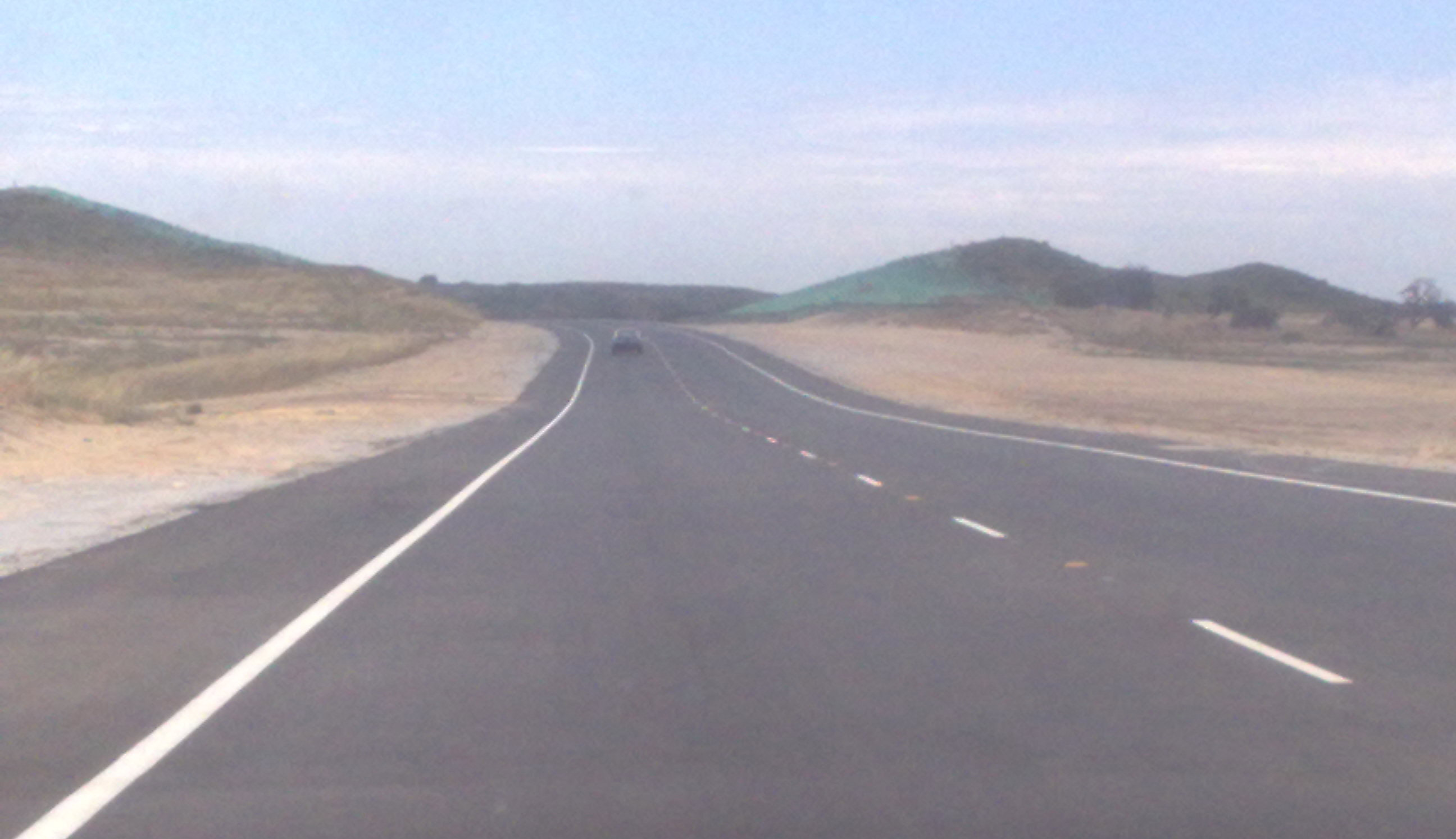
New, single-lane extension of Marmion Avenue opened in 2008, heading north in the currently undeveloped suburb of Alkimos
-

New, single-lane extension of Marmion Avenue opened in 2008, heading north in the currently undeveloped suburb of Eglinton
Notes
- ^ Southeast of the intersection of Marmion Avenue and Hepburn Avenue is a tangle of streets named after Gilbert and Sullivan characters and personalities. Gilbert Road meets Sullivan Road there, near Savoy Place, Pinafore Court, and streets named after 30 characters from the Gilbert and Sullivan operas. The only Gilbert and Sullivan performer with a street named after him is Bernard Manning (1888–1961), a performer with the J.C. Williamson company and founder of the Gilbert and Sullivan Society of Western Australia in Perth. See Detail of Duncraig streets. Mapquest.com, accessed 6 September 2011; "A brief history of the Gilbert and Sullivan Society of WA". The Gilbert and Sullivan Society of Western Australia, accessed 6 September 2011; and Stone, David. Bernard Manning. Who Was Who in the D'Oyly Carte Opera Company, 27 August 2001, accessed 6 September 2011
References
- Various UBD & Perth Metropolitan Street Directories - 1970s-1990s
- Skyview WA - Department of Land Information, Western Australia
- [1]
See also
Categories:- 1960s establishments in Australia
- Roads in Perth, Western Australia


Wikimedia Foundation. 2010.