- Marble Mountains (Siskiyou County)
-
For the mountain range of the same name in San Bernardino County, see Marble Mountains (San Bernardino County).For the mountain range of the same name in Vietnam, see Marble Mountains (Vietnam).
Marble Mountains Mountain Range Country United States State California Region Shasta Cascade District Siskiyou County Coordinates 41°34′43.482″N 123°5′31.148″W / 41.578745°N 123.09198556°W Highest point - elevation 2,516 m (8,255 ft) Timezone Pacific (UTC-8) - summer (DST) PDT (UTC-7) Topo map USGS Boulder Peak 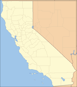
 location of Marble Mountains in California [1]
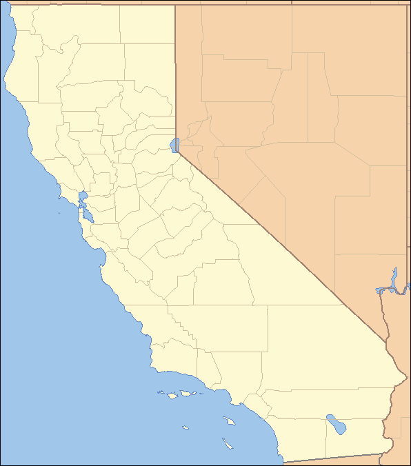
The Marble Mountains are a sub-range of the Klamath Mountains in northwestern California. The highest point in the Marbles is Boulder Peak at 8,299 feet (2,530 m), or 2530 meters. The Marbles are protected by the Marble Mountain Wilderness Area of the Klamath National Forest.
The 242,500-acre (981 km2) Marble Mountain Wilderness is a forested area and contains 89 lakes stocked with trout. Large streams have steelhead trout and salmon. Bear, deer and other wildlife are plentiful. Long recognized for its wild value, this region became a Primitive area in 1931, a Wilderness in 1953, and a part of the NWPS in 1964.
The area where the Marble Mountains now exist was once part of the flat bottom of an ancient, shallow ocean. Millions of years ago, violent volcanic upheavings and the erosive cutting action of rivers and glaciers combined to form the Marble Mountains. Marble Mountain itself is composed primarily of prehistoric marine invertebrates. Almost all the lakes of the Marble Mountains were formed by ancient glacial activity.
The Pacific Crest Trail runs through the wilderness for 32 miles (51 km). The Marble Mountain Wilderness features an unparalleled diversity of plant life found nowhere else in the state. More species of conifers (17) live in proximity here than any place else in the world. These beautiful trees include the Brewer's or weeping spruce, incense cedar, Western Juniper; white, subalpine, and Shasta red fir; Engelmann spruce, mountain hemlock, Pacific yew; and whitebark, knobcone, foxtail, lodgepole, sugar, ponderosa, and Western white pine.
The Marble Mountains form part of the drainages of the Salmon and Klamath rivers.
The Marble Mountains can be reached from State Route 96 between Hamburg and Somes Bar, State Route 3 via the Scott River Road between Scott Bar and Fort Jones or State Route 3 via the Etna-Somes Bar Road.
References
Categories:- Mountain ranges of Northern California
- Mountain ranges of Siskiyou County, California
Wikimedia Foundation. 2010.