- Datyń
-
Datyń — Village — 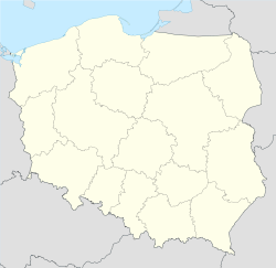
 Datyń
DatyńCoordinates: 51°48′N 14°46′E / 51.8°N 14.767°E Country  Poland
Voivodeship Lubusz County Żary Gmina Brody Datyń [ˈdatɨɲ] is a village in the administrative district of Gmina Brody, within Żary County, Lubusz Voivodeship, in western Poland, close to the German border.[1] It lies approximately 2 kilometres (1 mi) north-west of Brody, 32 km (20 mi) north-west of Żary, and 54 km (34 mi) west of Zielona Góra.
Before 1945 the area was part of Germany (see Territorial changes of Poland after World War II).
References
Seat Brody
Other villages Categories:- Villages in Żary County
- Żary County geography stubs


Wikimedia Foundation. 2010.