Coyote Mountains Wilderness — may refer to: Coyote Mountains Wilderness (Arizona) Coyote Mountains Wilderness (California) This disambiguation page lists articles associated with the same title. If an internal link led you h … Wikipedia
Coyote Mountains Wilderness (Arizona) — Coordinates: 31°59′23″N 111°31′15″W / 31.9898°N 111.5207°W / 31.9898; 111.5207 … Wikipedia
Coyote Hills — may refer to: Coyote Hills (Alameda County), California, USA Coyote Hills Regional Park Coyote Hills (Plumas County), California, USA Coyote Hills, Baker County, Oregon, USA Related names include Coyote Mountains, San Diego County, California,… … Wikipedia
Coyote Mountain (California) — Coyote Mountain Coyote Mountain with an Ocotillo in the foreground. Elevation 3,192 ft … Wikipedia
Coyote Springs, Nevada — Coyote Springs development in 2006 Coyote Springs, Nevada, is a master planned community being developed in Lincoln County and Clark County, Nevada, by developer and attorney lobbyist Harvey Whittemore and Pardee Homes. Contents … Wikipedia
Coyote Lake (San Bernardino County, California) — Coyote Lake Location Mojave Desert San Bernardino County, California Coordinates … Wikipedia
Coyote Dry Lake — is a dry lake bed in southern California in the United States. The lake is located in the Mojave Desert approximately 15 miles (24 km) northeast of Barstow, and north of Interstate 15. The lake is about six miles (10 km) long from north to south… … Wikipedia
Coyote Creek (San Gabriel River) — Coordinates: 33°47′41″N 118°05′24″W / 33.79472°N 118.09°W / 33.79472; 118.09 … Wikipedia
Coyote Creek State Park — Coordinates: 35°55′12″N 105°9′50″W / 35.92°N 105.16389°W / 35.92; 105.16389 … Wikipedia
Coyote Buttes — The Magic Crest of South Coyote Buttes. Coyote Buttes is a section of the Paria Canyon Vermilion Cliffs Wilderness managed by the Bureau of Land Management (BLM), spanning extreme South Central Utah and North Central Arizona, just south of US 89… … Wikipedia
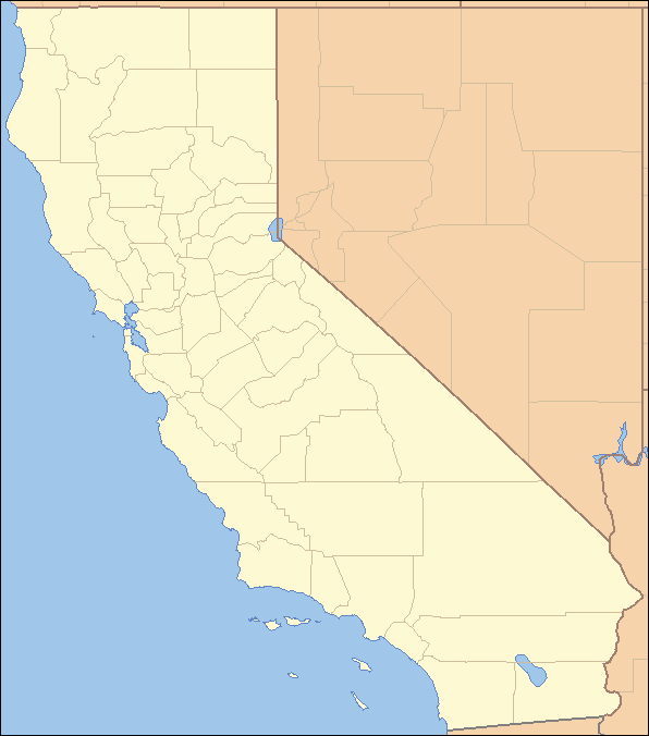
 location of Coyote Mountains in California [1]See also: Coyote Hills
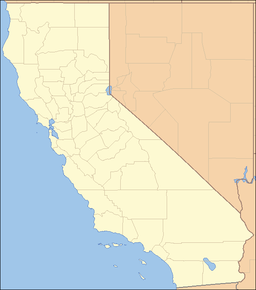