- River Rother, West Sussex
-
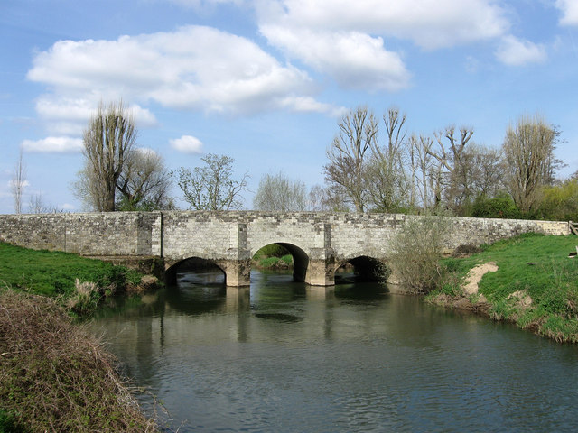
Rother Fittleworth Bridge over the River Rother
Country England Counties West Sussex, Hampshire District Chichester Tributaries - left River Lod - right Costers Brook Source - location Empshott, Hampshire Mouth River Arun - location Pulborough, West Sussex Discharge for Hardham [1] - average 4.97 m3/s (176 cu ft/s) - min 0.76 m3/s (27 cu ft/s) 13 July 2005 Discharge elsewhere (average) - Iping Mill 2.27 m3/s (80 cu ft/s) - Princes Marsh 0.51 m3/s (18 cu ft/s) Wikimedia Commons: River Rother (Western)  The River Rother at Cowdray Ruins
The River Rother is a river which flows for thirty miles from Empshott in Hampshire to Stopham in West Sussex, where it joins the River Arun. It should not be confused with the River Rother, in East Sussex.
The river's lower section, below Midhurst, was made navigable by the construction of the Western Rother Navigation which was part navigation and part canal, in 1794. [2] The Rother Navigation rose 86 feet (26 m) from Stopham to Midhurst by a series of eight locks. [2] A branch connected it to Petworth by the short Petworth Canal, 1.25 miles (2.01 km) long with two locks before terminating at Haslingbourne to the south of the town.[3] The navigation was closed to trade in 1888, being formally abandoned in 1936.
The river is partially fed by springs in the scarp slope of the chalk strata of the South Downs which flow at a constant volume and temperature throughout the year. This gives a more stable summer flow than is found in the upper reaches of the River Arun, which drains more clay soils. This steady flow powered several watermills along the river. The flour mill at Coultershaw, south of Petworth continued in operation until the 1960s, still partially water powered and collecting imported bread wheat from nearby Petworth railway station, which was then still open for goods only.
Contents
Etymology
The river takes its name from Rotherbridge, not the other way round. Rotherbridge is derived from the Anglo-Saxon Redrebruge, meaning cattle bridge,[4] which was also the name of the Saxon Hundred or administrative group of parishes. Before this the river was known as the Scir.[5]
Notes
- ^ Marsh, T; Hannaford, J, eds (2008). UK Hydrometric Register. Hydrological data UK series. Wallingford, Oxfordshire: Centre for Ecology & Hydrology. ISBN 9780955767227. http://www.ceh.ac.uk/products/publications/documents/HydrometricRegister_Final_WithCovers.pdf.
- ^ a b Armstrong. History of Sussex. pp. 144-145.
- ^ P.A.L. Vine. West Sussex Waterways. p.30.
- ^ Pamela Bruce, Northchapel A Village History. p.5.
- ^ Peter Jerrome. Petworth. From the beginnings to 1660
References
- Armstrong, J.R. (1971). A History of Sussex. Sussex: Phillimore. ISBN 0850331854.
- Pamela Bruce (2000). Northchapel A Village History. Northchapel Parish Council. ISBN 0953829103.
- Peter Jerrome (2002). Petworth. From the beginnings to 1660. Petworth: The Window Press.
- P.A.L. Vine (1985). West Sussex Waterways. Middleton Press. ISBN 0-906520-24-X.
See also
- R H Goodsall, The Arun and Western Rother
- P A L Vine, London's Lost Route to Midhurst The Earl of Egremont's Navigation
External links
- Sussex Mills Group
- Bridges of the Western Rother (reproduced from Volume 10 of the Sussex County Magazine 1936) on the Rother Valley Project website
Coordinates: 50°57′5.08″N 0°31′44.93″W / 50.9514111°N 0.5291472°W
Categories:- Rivers of Hampshire
- Rivers of Sussex
- River navigations in the United Kingdom
- Hampshire geography stubs
- West Sussex geography stubs

Wikimedia Foundation. 2010.