- Congo Basin
-
See also: Congo (disambiguation)
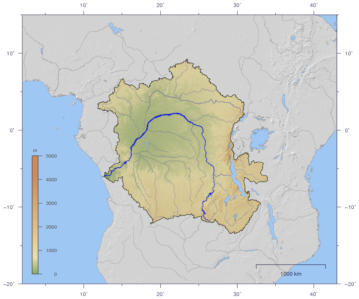
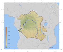 Course and Drainage basin of the Congo River with topography shading.
The Congo Basin is the sedimentary basin that is the drainage of the Congo River of west equatorial Africa. The basin begins in the highlands of the East African Rift system with input from the Chambeshi River, the Uele and Ubangi Rivers in the upper reaches and the Lualaba River draining wetlands in the middle reaches. Due to the young age and active uplift of the Great Rift Valley at the headlands, the river's yearly sediment load is very large but the drainage basin occupies large areas of low relief throughout much of its area.[1] The basin is a total of 3.7 million square kilometers and is home to some of the largest undisturbed stands of tropical rainforest on the planet, in addition to large wetlands. The basin ends where the river empties its load in the Gulf of Guinea on the Atlantic Ocean. The climate is equatorial tropical, with two rainy seasons including very high rainfalls, and high temperature year round. The basin is home to the endangered mountain gorilla.[2]
Originally the watershed of the Congo River was populated by pygmy peoples, but later Bantus migrated there from West Africa and eventually founded the Kingdom of Kongo. Portugal, France and Belgium established colonial control over the entire region by the late 19th century.
Congo region
Congo is a traditional name for the equatorial Middle Africa that lies between the Gulf of Guinea and the African Great Lakes. It contains some of the largest tropical rainforests in the world.
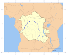 Course and Drainage basin of the Congo River with countries marked
Countries wholly or partially in the Congo region:
- Angola
- Cameroon
- Central African Republic
- Democratic Republic of the Congo
- Republic of the Congo
- Equatorial Guinea
- Gabon
- São Tomé and Príncipe
- Burundi
- Rwanda
References
External links
- African Pygmies The first inhabitants of the Congo Basin rainforest

This Central African location article is a stub. You can help Wikipedia by expanding it.