- Dunnockshaw and Clowbridge
-
Coordinates: 53°44′53″N 2°16′16″W / 53.748°N 2.271°W
Dunnockshaw and Clowbridge 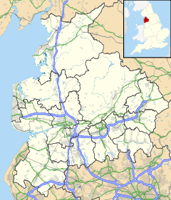
 Dunnockshaw and Clowbridge
Dunnockshaw and Clowbridge shown within LancashirePopulation 212 (2001) OS grid reference SD8213028017 Parish Dunnockshaw and Clowbridge District Burnley Shire county Lancashire Region North West Country England Sovereign state United Kingdom Post town BURNLEY Postcode district BB11 Dialling code 01282 Police Lancashire Fire Lancashire Ambulance North West EU Parliament North West England UK Parliament Burnley List of places: UK • England • Lancashire Dunnockshaw and Clowbridge is a civil parish in the borough of Burnley, in Lancashire, England. The parish is situated between Burnley and Rawtenstall.
In the 2001 census, the parish had a population of 212.[1]
It contains the villages of Clowbridge and Dunnockshaw, both located on the A682 road. Clowbridge Reservoir is situated on the boundary with Rossendale, east of the A682. The reservoir, operated by United Utilities, is a popular location for water sports. It was built in 1866 following the flooding of the village of Gambleside.
References
- ^ "Parish headcount". Lancashire Parish Portal. Lancashire County Council. http://www.lancashireparishcouncils.gov.uk/documents/information/Parish_headcount.pdf. Retrieved 2008-11-03.
External links
Categories:- Villages in Lancashire
- Civil parishes in Lancashire
- Lancashire geography stubs

Wikimedia Foundation. 2010.