- Cities of East Asia
-
For the purposes of this article, East Asia shall represent,
Contents
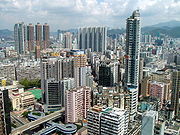
China, People's Republic
Major Urban Centers Image: 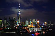
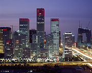
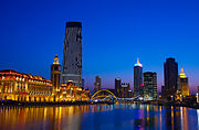
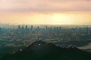
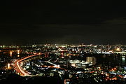
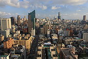
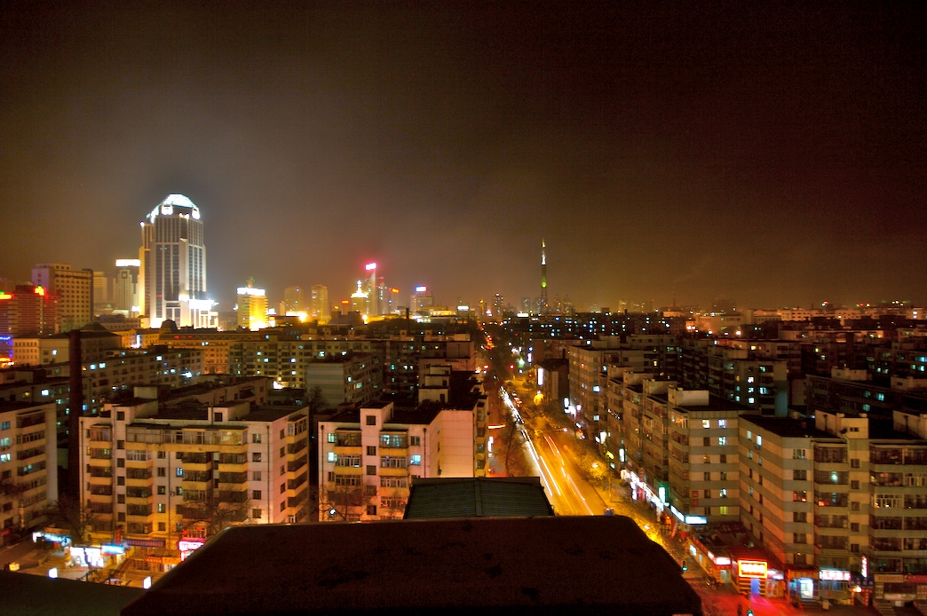
Name: Shanghai (上海) Beijing (北京) Guangzhou (广州) Chongqing (重庆) Tianjin (天津) Urban
proper
Population:
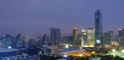
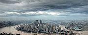
(census 2010)17,830,000 12,950,000 11,070,654 7,450,000 6,000,000 Image: 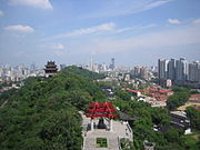
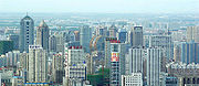
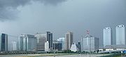
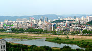
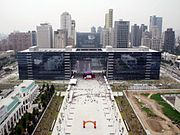
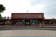
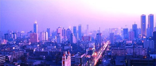
Name: Wuhan (武汉) Xi'an (西安) Chengdu (成都) Nanjing (南京) Shenyang (沈阳) Urban
proper
Population:
(census 2010)5,860,000 5,600,000 5,300,000 5,200,000 4,700,000 Image: 
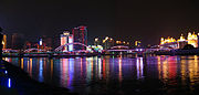
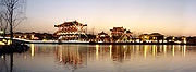
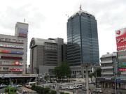
Name: Harbin (哈尔滨) Fuzhou (福州) Dalian (大连) Hangzhou (杭州) Changchun (长春) Urban
proper
Population:
(census 2010)4,517,549 4,408,076 3,578,000 3,544,800 3,341,700 Image: 
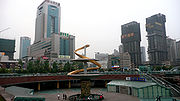
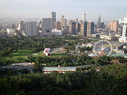
Name: Jinan (济南) Taiyuan (太原) Zhengzhou (郑州) Qingdao (青岛) Shijiazhuang (石家庄) Urban
proper
Population:
(census 2010)3,245,000 3,212,500 3,132,000 3,063,000 2,604,930 Hong Kong and Macau
Hong Kong
Major Urban Centers Image: 
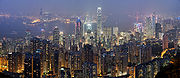
Name: New Territories (新界) Kowloon (九龍) Hong Kong Island (香港島) Population:
(est. 2009)3,573,635 2,019,533 1,289,500 Macau
Major Urban Centers Image: 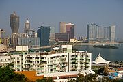
Name: Municipality of Macau (澳門市) The Islands (海島市) Population:
(est. 2009)442,200 99,800 Mongolia
Major Urban Centers Image: 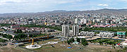
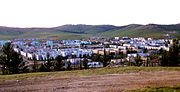
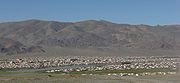
Name: Ulaanbaatar (Улаанбаатар) Erdenet (Эрдэнэт) Darkhan (Дархан) Mörön (Мөрөн) Ölgii (Өлгий) Population:
(est. 2008)1,067,472 86,866 74,300 36,082 28,496 Japan
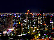
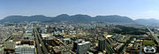
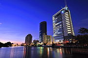
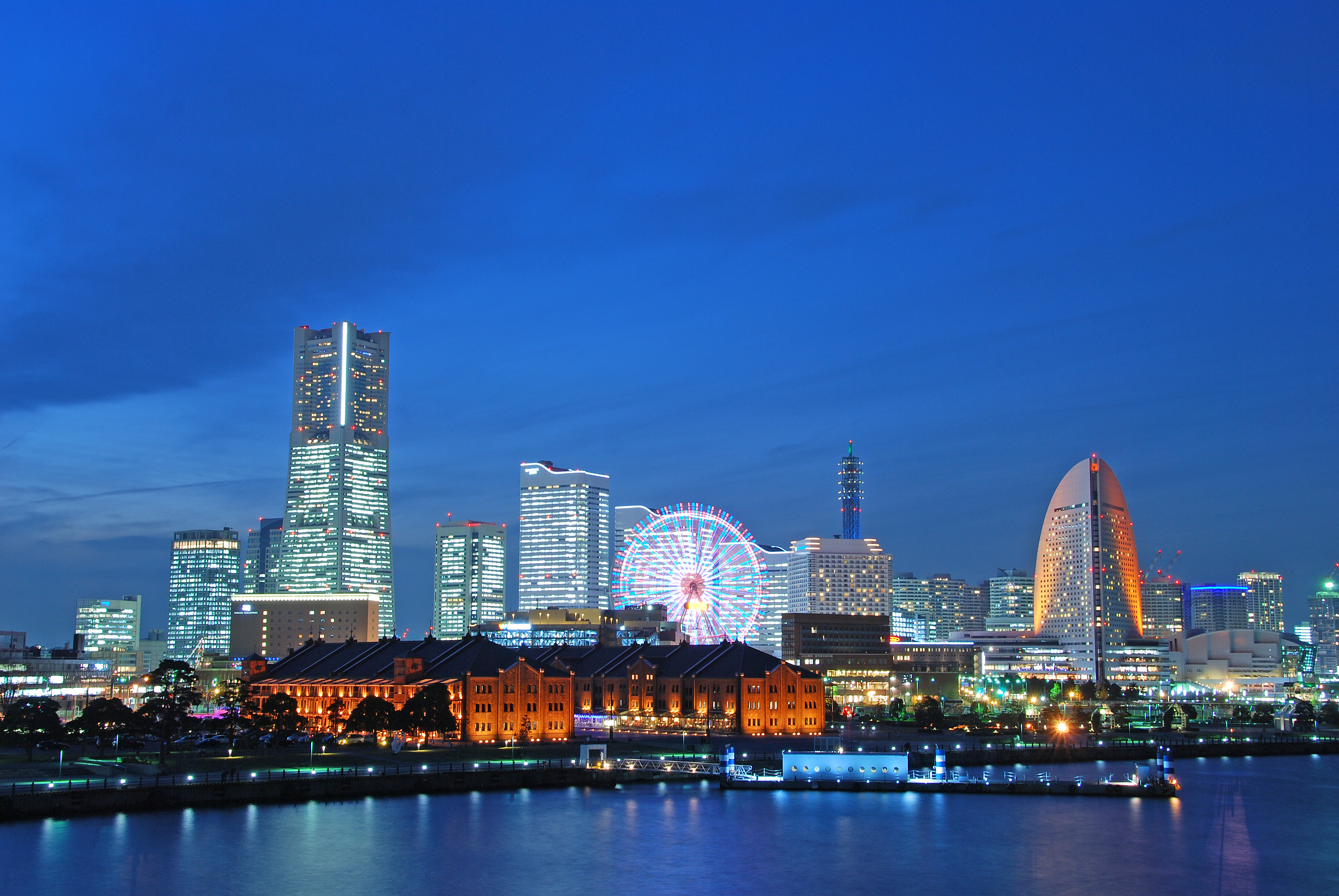
Major Urban Centers Image: 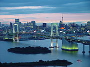
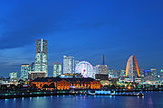
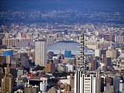
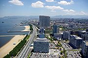
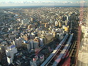
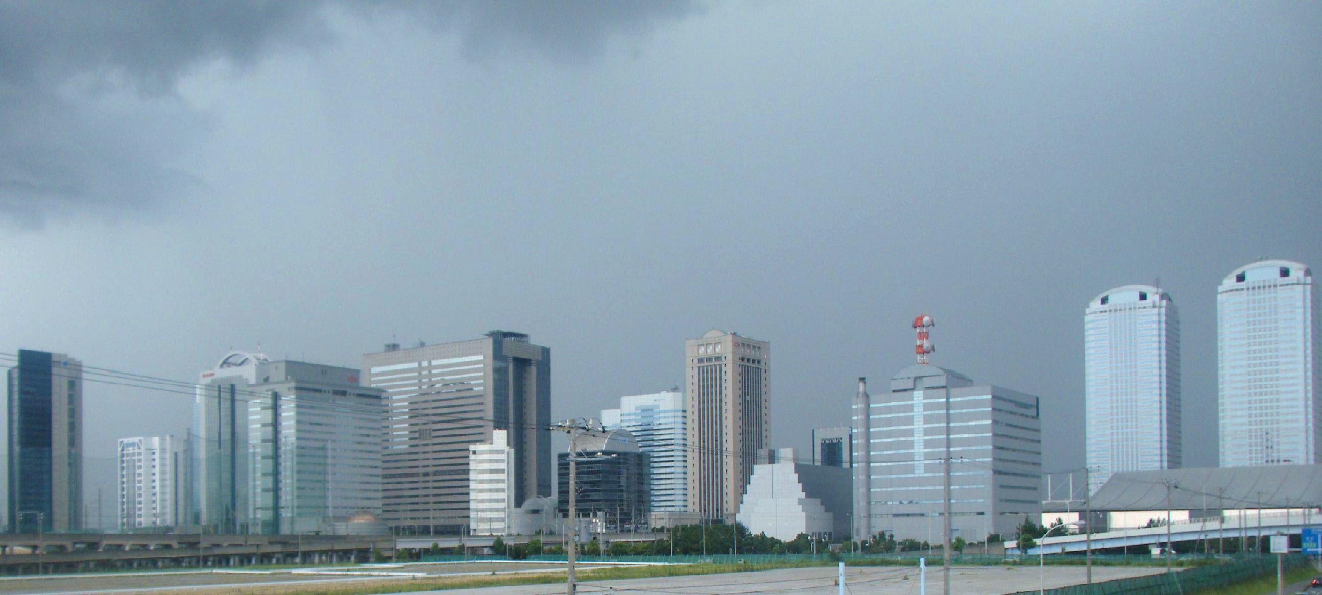
Name: Tokyo - 23 wards (東京 - 23区) Yokohama (横浜) Osaka (大阪) Nagoya (名古屋) Sapporo (札幌) City Proper
Population:
(census 2010)8,949,447 3,689,603 2,666,371 2,263,907 1,914,434 Image: 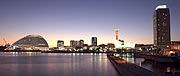
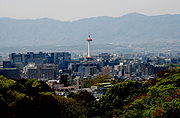
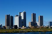
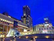
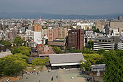
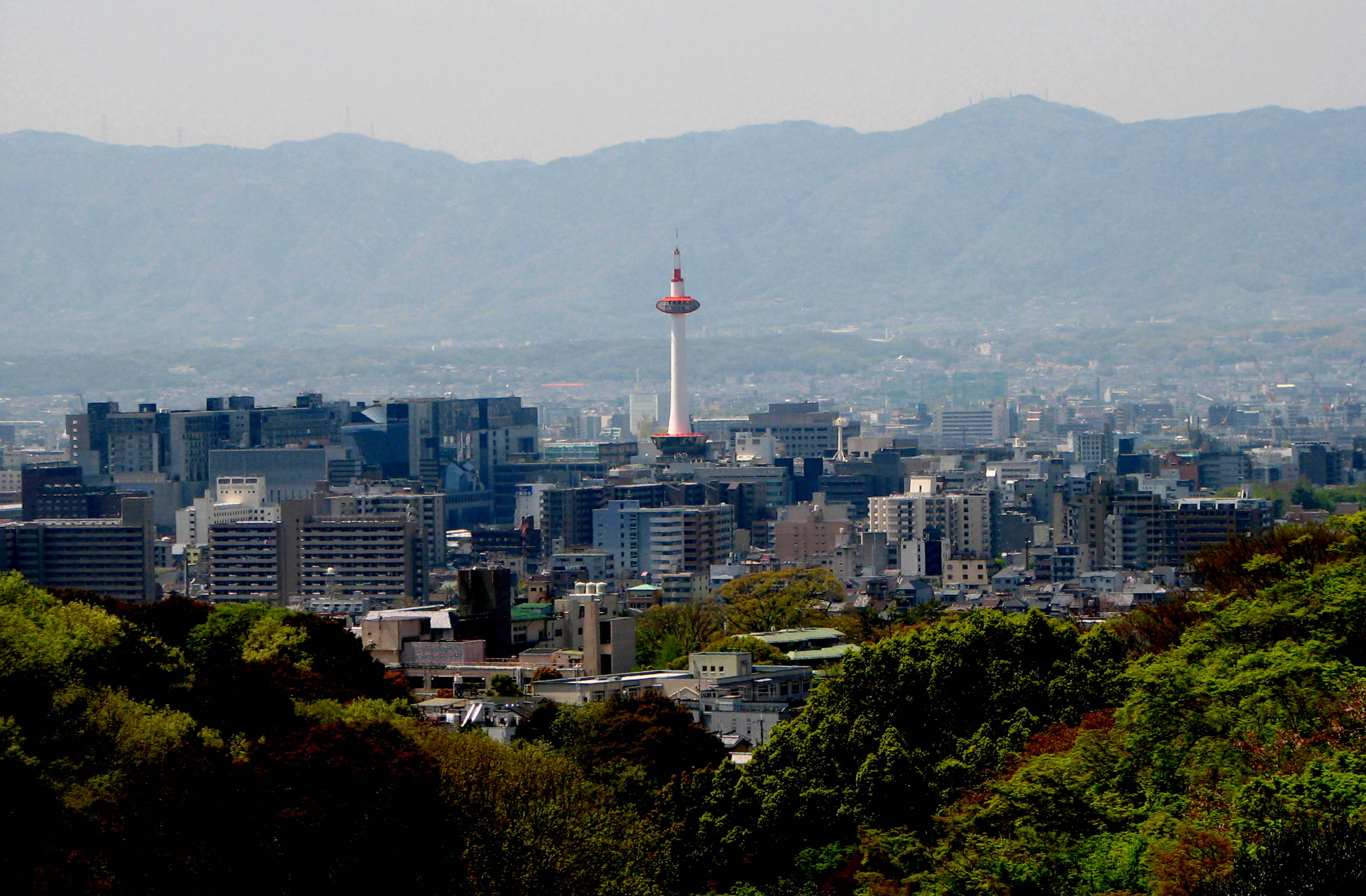
Name: Kobe (神戸) Kyoto (京都) Fukuoka (福岡) Kawasaki (川崎) Saitama (さいたま) City Proper
Population:
(census 2010)1,544,873 1,474,473 1,463,826 1,425,678 1,222,910 Image: 
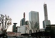
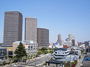
Name: Hiroshima (広島) Sendai (仙台) Kitakyushu (北九州) Chiba (千葉) Sakai (堺) City Proper
Population:
(census 2010)1,174,209 1,045,903 977,288 962,130 v842,134 Image: 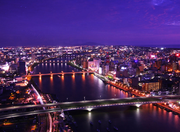
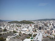
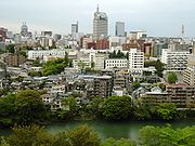
Name: Niigata (新潟) Hamamatsu (浜松) Kumamoto (熊本) Sagamihara (相模原) Shizuoka (岡山) City Proper
Population:
(census 2010)812,192 800,912 734,294 717,561 716,328 North Korea
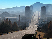
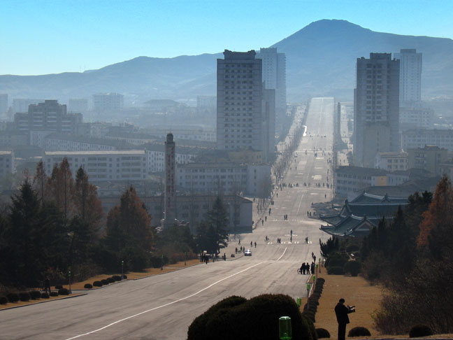
Major Urban Centers Image: 
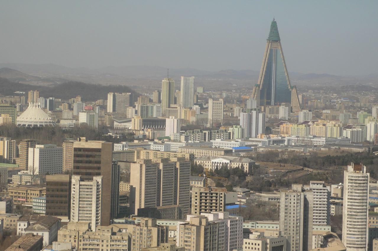
Name: Pyongyang (평양 / 平壤) Hamhung (함흥 / 咸興) Chongjin (청진 / 淸津) Nampho (남포 / 南浦) Sinuiju (신의주 / 新義州) Urban
Population:
(est. 2005)3,171,800 874,000 684,000 665,100 500,000 Image: 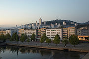
None 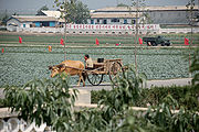
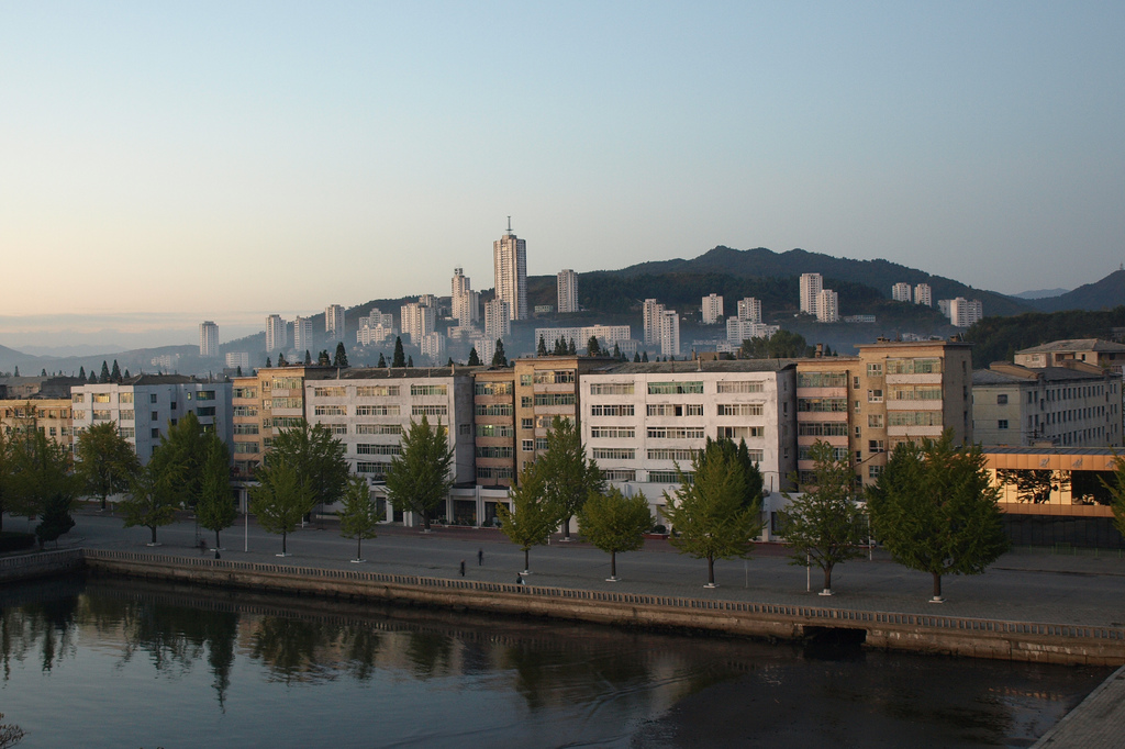
Name: Wonsan (원산 / 元山) Pyongsong (평성 / 平城) Sariwon (사리원 / 沙里院) Haeju (해주 / 海州) Kaesong (개성 / 開城) Urban
Population:
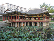
(est. 2007)352,300 315,800 300,100 265,200 261,100 South Korea
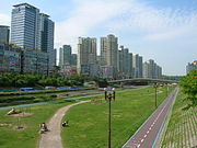
Major Urban Centers Image: 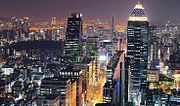
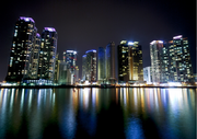
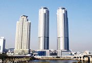
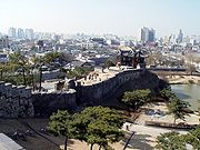
Name: Seoul (서울) Busan (부산 / 釜山) Incheon (인천 / 仁川) Daegu (대구 / 大邱) Daejeon (대전 / 大田) City Proper
Population:
(census 2010)9,794,304 3,414,950 2,662,509 2,446,418 1,501,859 Image: 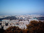
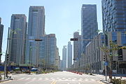
Name: Gwangju (광주 / 光州) Ulsan (울산 / 蔚山) Suwon (수원 / 水原) Changwon (창원 / 昌原) Seongnam (성남 / 城南) City Proper
Population:
(census 2010)1,469,293 1,082,567 1,071,913 1,058,021 949,964 Image: 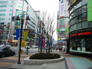
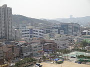
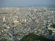
Name: Goyang (고양 / 高陽) Yongin (용인 / 龍仁) Bucheon (부천 / 富川) Ansan (안산 / 安山) Cheongju (청주 / 淸州) City Proper
Population:
(census 2010)905,076 856,765 853,039 728,775 666,924 Taiwan, Republic of China
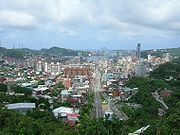
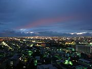
Major Urban Centers Image: 
Name: New Taipei (新北) Kaohsiung (高雄) Taichung (台中) Taipei (台北) Tainan (台南) City Proper
Population:
(est. 2011)3,900,199 2,772,981 2,652,435 2,630,285 1,873,193 Image: 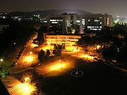
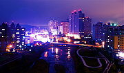
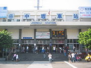
Name: Hsinchu (新竹) Taoyuan (桃園) Keelung (基隆) Zhongli (中壢) Chiayi (嘉義) City Proper
Population:
(est. 2011)416,426 407,757 382,551 370,376 272,218 Image: 
Name: Changhua (彰化) Pingtung (屏東) Pingzhen (平鎮) Bade (八德) Yangmei (楊梅) City Proper
Population:
(est. 2011)236,471 210,534 207,715 176,843 151,044 Notes and references
See also
Categories:- Lists of cities in Asia


Wikimedia Foundation. 2010.