- Shanghai Yangtze River Tunnel and Bridge
-
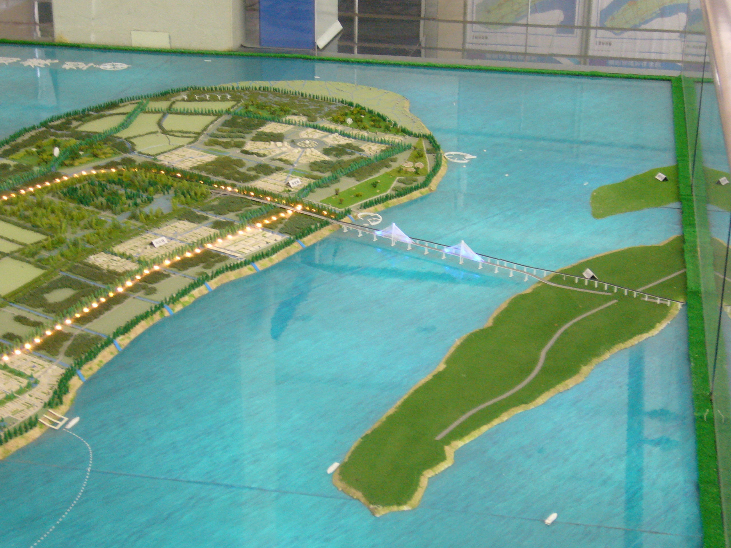
 Early concept model of the bridge (the structure as built is somewhat different)
The Shanghai Yangtze River Tunnel and Bridge (Chinese: 上海长江隧桥), is the collective name given to a bridge-tunnel route partly crossing the Yangtze River, linking the city of Shanghai proper with its island-county of Chongming.
The total combined length of the route is 25.5 km (15.8 mi) and the total cost was 12.6 billion yuan (US$1.84 billion)[1] It was opened on October 31, 2009.[1][2]
The tunnel and bridge are part of the Hushan Expressway between Shanghai and Xi'an. The remaining gap between Chongming and the north bank of the Yangtze will be crossed in 2010 by the Chongqi Bridge and the Chonghai Bridge, collectively forming the most downstream crossing of the Yangtze.
Contents
Tunnel
The Shanghai Yangtze River Tunnel starts on the south bank of the Yangtze at Wuhaogou, Pudong and ends in the south of Changxing Island. It is 8.9 kilometres (5.5 mi) in length,[1] and has two stacked levels. The upper level is for a motorway, and has three lanes in each direction, with a designed speed of 80 kilometres per hour (50 mph). The lower level is reserved for a future Shanghai Metro line.
Bridge
Shanghai Yangtze River Bridge
上海长江大桥
Crosses Yangtze River between Changxing and Chongming islands Locale Shanghai
 People's Republic of China
Design Cable-stayed bridge with viaducts Total length 16,500 m (54,134 ft)
(including approaches)Longest span 750 m (2,461 ft) Number of spans 1 cable-stayed span
2 viaductsConstruction end 23rd Oct, 2009 Opened 31st Oct, 2009 Coordinates 31°26′05″N 121°44′40″E / 31.43481°N 121.74431°ECoordinates: 31°26′05″N 121°44′40″E / 31.43481°N 121.74431°E The Shanghai Yangtze River Bridge starts at the tunnel exit, crosses Changxing Island at ground level, then crosses to Chongming Island, ending at Chenjia Town.
It consists of two long viaducts with a higher cable-stayed section in the middle to allow the passage of ships. The total length is 16.63 kilometres (10.33 mi), of which 6.66 kilometres (4.14 mi) is road and 9.97 kilometres (6.20 mi) bridge. The overall shape of the bridge is not linear but slightly sigmoid ("S" shaped).
The central cable-stayed span is about 730 meters, the longest span of any bridge in Shanghai, and the fifth longest cable-stayed span in the world.[3]
The bridge has three road lanes in each direction, with a designed speed of 80 kilometres per hour (50 mph). Room on both flanks of the bridge is reserved for a future metro line.
 The bridge under construction, 2008
See also
- Hangzhou Bay Bridge, a trans-oceanic bridge linking Ningbo and Shanghai.
- Donghai Bridge, a trans-oceanic bridge links the Yangshan Deepwater Port in Shanghai.
- Yangpu Bridge, a cable-stayed bridge across Huangpu River in Shanghai.
- Lupu Bridge, an arch bridge across Huangpu River in Shanghai.
- Yangtze River bridges and tunnels
References
- ^ a b c Bridge-tunnel linking Chongming Island opens to traffic, Shanghai Daily, 2009-10-31, accessed 2009-11-03
- ^ "世界最大隧桥上海长江大桥31日通车(组图) (The largest bridge-tunnel project in the world the Shanghai Yangtze River Tunnel and Bridge opens on 31st (multiple pictures))" (in (Chinese)). Tencent QQ.com News. 2009-10-31. http://news.qq.com/a/20091031/000115.htm. Retrieved January 1, 2010.
- ^ "上海长江大桥 (Shanghai Yangtze River Bridge)" (in (Chinese)). Baidu.com Chinese Encyclopedia. 2009-06-19. http://baike.baidu.com/view/957773.htm. Retrieved January 1, 2010.
External links
- Shanghai Yantze River Bridge&Tunnel Project Info Website (Chinese)
- The world's largest bridge tunnel opened to traffic in Shanghai
- New City a model for the future
- New bridge can cope with an earthquake
- Pudong to Chongming in 20mins
- 扬子晚报:崇启大桥通过评估
- 长江隧桥项目简介
- SMG:采用最新科技 上海长江隧道做足安全文章
- 新闻午报:上海长江大桥主塔封顶
Crossings of the Yangtze River Upstream
Sutong Bridge

Shanghai Yangtze River Tunnel and Bridge

Downstream
East China SeaCategories:- Bridge-tunnels
- Development projects in Shanghai
- Road tunnels in China
- Bridges in Shanghai
- Bridges over the Yangtze River


Wikimedia Foundation. 2010.