- Mettur Dam
-
Mettur Dam 
Location Mettur, Tamil Nadu, India Coordinates 11°48′00″N 77°48′00″E / 11.8°N 77.8°ECoordinates: 11°48′00″N 77°48′00″E / 11.8°N 77.8°E Opening date 1934 Dam and spillways Height 120 ft. Length 1700 meters Reservoir Creates Stanley Reservoir Capacity: 93.4 billion ft³ (2.64 km³) 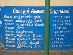 Details in Tamil
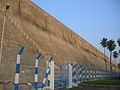
The Mettur Dam is a large dam in India built in 1934.[1] It was constructed in a gorge, where the Kaveri River enters the plains. The dam is one of the oldest in India[citation needed]. It provides irrigation facilities to a part of Salem, the length of Erode, Namakkal, Karur, Tiruchirappali and Thanjavur district for 271,000 acres (110,000 ha) of farm land.
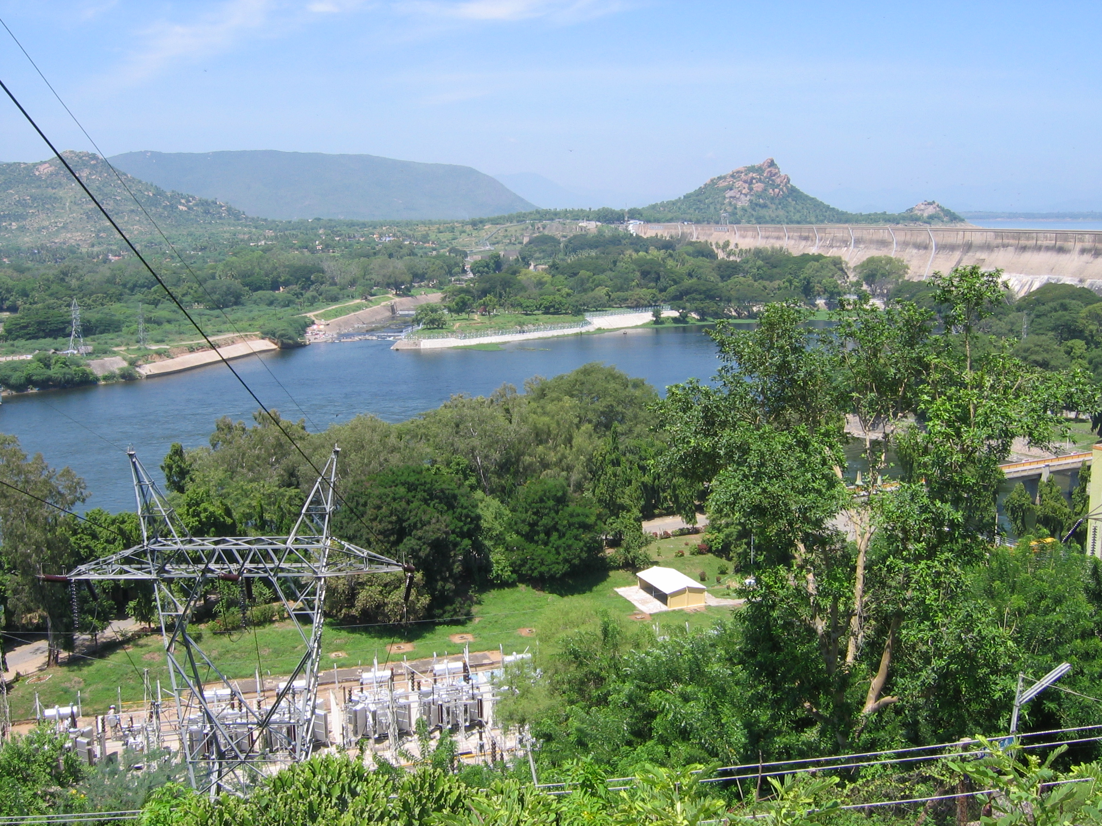
The total length of the dam is 1,700 m (5,600 ft). The dam creates Stanley Reservoir. The Mettur Hydro Electrical power project is also quite large. The dam, the park, the major Hydro Electric power stations and hills on all sides make Mettur a tourist attraction. Upstream from the dam is Hogenakal Falls.
The government of India's water resources ministry site[1] the Mettur dam is an old multipurpose project of the south Indian state (province) of Tamil Nadu across the Cauvery river. It irrigates 1,310 km2 (510 sq mi) of land each year. Its installed capacity for hydro-power generation is 32 MW.
The maximum level of the dam is 120 ft (37 m) and the maximum capacity is 93.4 tmc ft.
Contents
Water dispute
The Mettur Dam has received attention of the public during the recent past because of the Cauvery water dispute between the States of Tamil Nadu and Karnataka.[2] Consequent to building dams, including the Kabini Dam, across the Kaveri River in Karnataka, the Mettur Dam does not receive adequate water during lean seasons. Thus, the Dam nearly goes dry during certain parts of the year, when water is most needed by the farmers and general public of Karnataka and Tamil Nadu. This has created serious dispute and tension between the neighbouring States of Tamil Nadu and Karnataka. Tamil Nadu govt., the Supreme Court verdict and the cauvery tribunal have so far not been successful in making the Government of Karnataka release the due share or at least sufficient water to tide over distress periods for the Mettur Dam, or the lower riparian areas. Meanwhile, Kaveri Water Tribunal to solve the problem and the tribunal passed it verdict of 419 tmc to Tamil Nadu, 270 tmc to Karnataka, 50 tmc to Kerala and 7 tmc to Pondicherry. This dam was built in line with KRS and the design was by Sir M Vishveswariah[3]
-
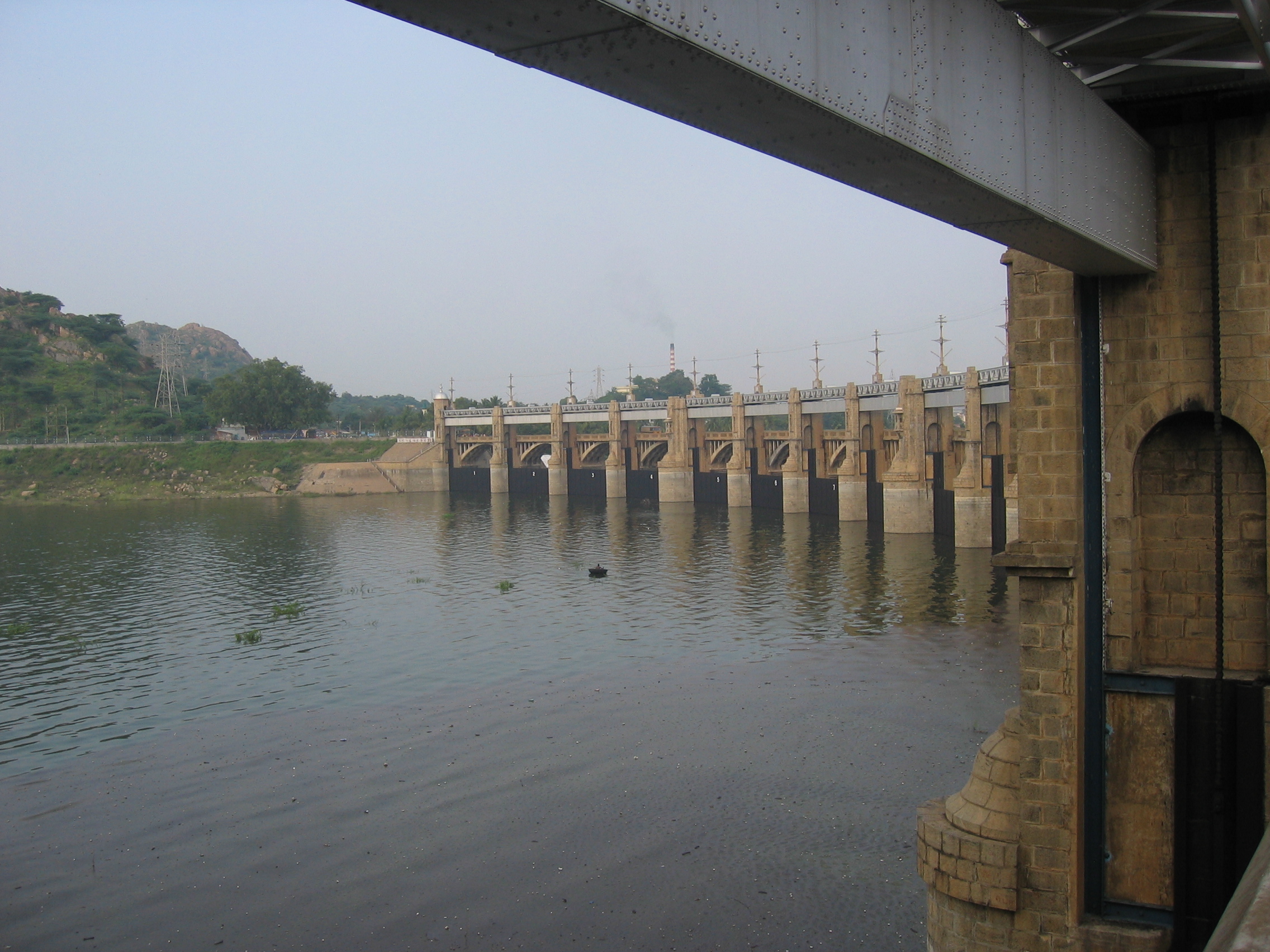
Mettur Dam View from below -

Mettur Dam - Overflow Bridge
See also
- Banasura Sagar Dam
- Stanley Reservoir
- Krishna Raja Sagara
- Grand Anicut
- Kolathur Ealarimathikadu Dam
Notes
- ^ a b "Mettur Dam". Archived from the original on 2006-08-19. http://web.archive.org/web/20060819100412/http://wrmin.nic.in/projects/mettur.htm. Retrieved 2006-11-22.
- ^ "Inter-state Water Disputes". Water Ministry - Government of India. Archived from the original on 2007-02-12. http://web.archive.org/web/20070212165529/http://wrmin.nic.in/cooperation/disputes.htm. Retrieved 2006-11-23.
- ^ "Mettur Dam completes 74 years. Do you know how we struggled before builting the dam with mysore Mettur Dam To Mysore Onthy way Reached Kolathout,..., India". Just91.com. http://www.just91.com/mettur-dam-completes-74-years-do-you-know-how-we-struggled-before-builting-the-dam-with-mysore-rulers/answers/5218. Retrieved 2011-01-14.
External links
- Metturdam.Com
- Mettur.Com
- Ministry of Water Resources - Government of India
- Mettur dam touches 100-foot mark
- Water released from Mettur dam
- Photograph[dead link]
Kaveri Tributaries Dams Banasura Sagar · Bangara Doddi Nala · Grand Anicut · Krishna Raja Sagara · Madadkatte · Mettur Dam · Stanley ReservoirFeatures Cities and towns Bhagamandala · Bhavani · Chidambaram · Erode · Karaikal · Karur · Kodumudi · Kodagu · Kudavasal · Kumbakonam · Kushalanagara · Mannargudi · Mandya · Mayiladuthurai · Mettur · Mysore · Nagapattinam · Nannilam · Papanasam · Puhar · Peralam · Sakleshpur · Sikkal · Sirkali · Srirangam · Srirangapatna · Swamimalai · Talakad · Talakaveri · Thanjavur · Tharangambadi · Thirunallar · Thiruvaiyaru · Thiruvarur · Thiruveezhimizhalai · Tiruchirapalli · VaitheeswarankoilRiparian states
and territoriesHydrology of Tamil Nadu Rivers Adyar • Amaravathi • Arasalar • Bhavani • Cheyyar • Chittar • Cooum • Kaveri • Kedilam • Kodaganar • Kodavanar • Kokkiliyar • Kollidam • Kosasthalaiyar • Manimuthar • Nadari • Nambiyar • Nanganjiyar • Noyyal • Pachaiyar • Pahrali • Palar • Parambikulam • Ponnaiyar • Swetha • Thamirabarani • Vaigai • Vaippar • Vasishta • Vellar • VennaaruLakes Ambattur Lake • Berijam Lake • Chembarambakkam Lake • Kaliveli Lake • Kodaikanal Lake • Perumal Eri • Porur Lake • Pulicat Lake • Red Hills Lake • Sholavaram Lake • Singanallur Lake • Valankulam Lake • Veeranam Lake • Velachery Lake • Pykara • Ooty LakeWaterfalls Agaya Gangai • Ayyanar • Catherine • Courtallam • Hogenakkal • Kiliyur • Kumbakkarai • Law's Falls • Katary(Kateri) Falls • Kalhatti Falls • Kutladampatti • Monkey • Sengupathi • Siruvani • Suruli • Thalaiyar • Tirparappu • Ullakaarvi • Vaideki • VattaparaiBeaches Dams/ Reservoirs Aliyar Reservoir • Amaravathi Dam • Bhavanisagar Dam • Grand Anicut • Kamarajar Sagar Dam • Krishnagiri Dam • Mettur Dam • Mukkadal • Noyyal Oarathuppalayam • Pechiparai Reservoir • Perunchani Dam • Sathanur Reservoir • Solaiyar Dam • Vaigai Dam • Varattu Pallam DamSee also Kerala • Karnataka • Andhra PradeshCategories:- Reservoirs and dams in India
- Dams in Tamil Nadu
- Kaveri River
- Salem District
- Erode District
- Hydroelectric power stations in India
-


Wikimedia Foundation. 2010.