- Grand Central Parkway
-
Grand Central Parkway
Route information Length: 14.61 mi[1] (23.51 km) Existed: 1936[citation needed] – present Major junctions West end:  I-278 in Astoria
 I-495 in Flushing Meadows Park

 I-678 / Jackie Robinson Parkway on Kew Gardens/Kew Gardens Hills/Forest Hills/Briarwood border
 I-295 on the Hollis Hills/Queens Village border
 Cross Island Parkway on Bellerose/Douglaston/Glen Oaks/Oakland Gardens border
East end:  Northern Parkway at Queens-Nassau Co. border
Location Counties: Queens Highway system Numbered highways in New York
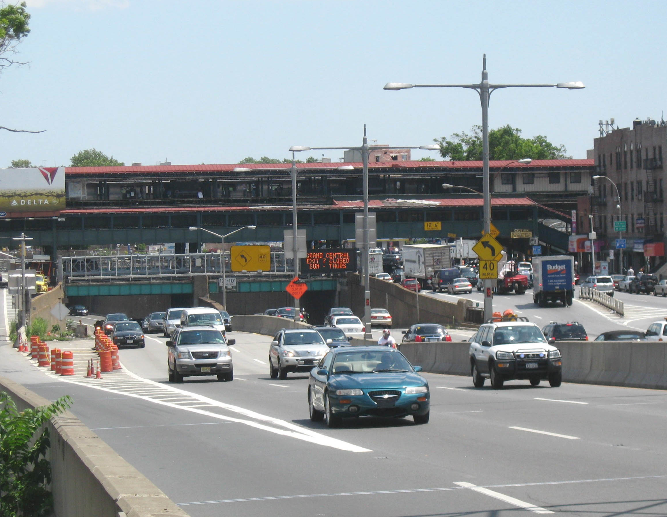
Interstate • U.S. • N.Y. (former) • Reference • CountyThe Grand Central Parkway (GCP) is a parkway that stretches from the RFK-Triborough Bridge in New York City to Nassau County on Long Island. At the Queens-Nassau border, it becomes the Northern State Parkway, which runs across the northern part of Long Island through Nassau County and into Suffolk County, where it ends in Hauppauge. The westernmost stretch (from the Triborough Bridge to exit 4) also carries a short stretch of Interstate 278. The parkway runs through Queens and passes the Cross Island Parkway, Long Island Expressway, LaGuardia Airport and Citi Field, home of the New York Mets. The North Shore Towers is situated on the parkway on the Queens-side along the Nassau County border. The parkway is designated New York State Route 907M, an unsigned reference route.
The Grand Central Parkway was first planned in 1922, as a connection between Queens Boulevard and Nassau County, helping city dwellers reach Jones Beach more easily. The original section is a parallel route to the pre-existing Union Turnpike, which was a congested street. Construction for the Parkway began in 1931, and the parkway was widened in 1961 in preparation for the 1964 New York World's Fair in Flushing Meadows-Corona Park.
 West end
The Grand Central Parkway passes through the Kew Gardens Interchange, where it connects with the Van Wyck Expressway (Interstate 678), Jackie Robinson Parkway, Queens Boulevard (NY 25); and Union Turnpike.
The Grand Central Parkway has a few unique distinctions. First, it is apparently the only parkway in New York City to carry an elliptical black-on-white design for its trailblazer. Parkways throughout The Bronx, Manhattan, and Staten Island use the state-standard design, while the Belt system parkways use a modified version of the Long Island regional parkway shield with the Montauk Point Lighthouse logo. Second, it is one of the few parkways in the state to allow truck traffic to any extent. The section shared with Interstate 278 allows for small trucks—larger ones still cannot pass under the intentionally-designed low underpasses. They have to travel on Astoria Boulevard, the local service road, to reach the bridge.
Grand Central Parkway is not related in any way to Grand Central Terminal.
Exit list
The entire route is in Queens.
Location Mile[1] Exit Destinations Notes Astoria 0.00 45 31st Street, Astoria Boulevard Astoria, Woodside, East Elmhurst 0.80 4 I-278 west (Brooklyn-Queens Expressway) – Verrazano Bridge, Staten IslandEast end of I-278 overlap East Elmhurst 1.34 5 Astoria Boulevard east, 82nd Street - Marine Air Terminal, Terminal A Exit Here for Delta Shuttle Flights to Boston, Chicago and Washington, DC 2.26 6 94th Street - Terminal B, parking Westbound exit is part of exit 7 2.51 7 LaGuardia Airport Terminals B, C, and D 3.55 8 111th Street Eastbound exit only Corona 3.79 9E  I-678 (Whitestone Expressway) / NY 25A east (Northern Boulevard), Citi Field
9W NY 25A west (Northern Boulevard)Westbound exit and eastbound entrance 9P Flushing Meadows-Corona Park, Tennis Center Westbound exit and entrance Corona, Forest Hills 5.10 10 I-495 (Long Island Expressway) – Manhattan, Eastern Long IslandSigned as exits 10W (west) and 10E (east) Forest Hills 5.94 11 69th Road, Jewel Avenue Signed as exits 11W (west) and 11E (east) westbound 6.50 12  NY 25 (Queens Boulevard) / 78th Avenue
Eastbound exit only Forest Hills, Kew Gardens, Kew Gardens Hills, Briarwood 13W Jackie Robinson Parkway west – Brooklyn7.19 13 I-678 south (Van Wyck Expressway) – Kennedy AirportEastbound exit and westbound entrance Kew Gardens Hills, Briarwood 7.53 14 Union Turnpike, Main Street Eastbound exit and westbound entrance 15 NY 25 west (Queens Boulevard) / Union TurnpikeWestbound exit and eastbound entrance Briarwood, Jamaica Hills, Hillcrest 8.11 16 Parsons Boulevard, 164th Street Eastbound exit only 17 168th Street Westbound exit only Jamaica Hills, Hillcrest, Jamaica Estates 9.13 18 Utopia Parkway No westbound exit Hillcrest, Jamaica Estates, Holliswood (Terrace Heights) 9.83 19 188th Street Holliswood (Terrace Heights), Fresh Meadows, Queens Village 10.57
10.8620 Francis Lewis Boulevard Signed as exits 20B (south) and 20A (north) Queens Village, Hollis Hills 11.10 21S-N I-295 north (Clearview Expressway) / NY 25 (Hillside Avenue) to I-495 – Throgs Neck BridgeBellerose, Oakland Gardens 11.93 22 Union Turnpike Westbound exit is part of exit 23 Bellerose, Oakland Gardens, Douglaston, Glen Oaks 12.56 23S-N Cross Island Parkway to I-495 / Winchester Boulevard – Alley ParkGlen Oaks, Little Neck 13.67 24 Little Neck Parkway 14.61 Northern ParkwayContinuation into Nassau County 1.000 mi = 1.609 km; 1.000 km = 0.621 mi References
- ^ a b "2007 Traffic Data Report for New York State" (PDF). New York State Department of Transportation. July 25, 2008. https://www.nysdot.gov/divisions/engineering/technical-services/hds-respository/NYSDOT_Traffic_Data_Report_2007.pdf. Retrieved July 17, 2009.
External links
Parkways in New York City Manhattan The Bronx Brooklyn-Queens Belt Parkway system: Cross Island - Laurelton - Shore - Southern
Others: Grand Central - Jackie Robinson (Interborough)
Former: Gowanus - Whitestone - Long Island Motor ParkwayStaten Island Korean War Veterans (Richmond)
Former: Willowbrook - Proposed: Wolfe's PondCategories:- Interstate 78
- Transportation in Queens
- Parkways in New York City
- Robert Moses projects

Wikimedia Foundation. 2010.