- Milmine, Illinois
-
Milmine — Unincorporated town — 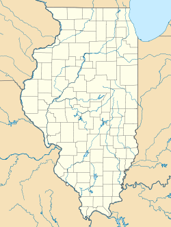
 Milmine
Coordinates: 39°54′27″N 088°39′01″W / 39.9075°N 88.65028°WCoordinates: 39°54′27″N 088°39′01″W / 39.9075°N 88.65028°W Country United States State Illinois County Piatt Township Cerro Gordo Elevation[1] 712 ft (217 m) ZIP code 61818 GNIS feature ID 0413629 Milmine is an unincorporated town in Cerro Gordo Township, Piatt County, Illinois, USA.
Geography
Milmine is located at 39°54′27″N 088°39′01″W / 39.9075°N 88.65028°W at an elevation of 712 feet.
References
- ^ "US Board on Geographic Names". United States Geological Survey. 2007-10-25. http://geonames.usgs.gov. Retrieved 2008-01-31.
Municipalities and communities of Piatt County, Illinois City 
Villages Townships Bement | Blue Ridge | Cerro Gordo | Goose Creek | Monticello | Sangamon | Unity | Willow Branch
Unincorporated
communitiesGalesville | La Place | Lodge | Milmine | Pierson | White Heath
Footnotes ‡This populated place also has portions in an adjacent county or counties
Categories:- Illinois geography stubs
- Populated places in Piatt County, Illinois
- Unincorporated communities in Illinois

Wikimedia Foundation. 2010.